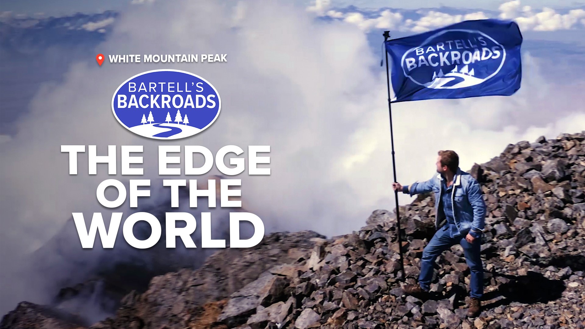
MONO COUNTY, Calif. — You'll find the summit of White Mountain Peak at 14,252 feet. It's the end of California’s highest drivable road.
From the rocky parking lot, you are exactly 253 feet below the top of Mount Whitney, the tallest mountain in California and the lower 48 states. On a clear day you can see Death Valley to the south and Yosemite National Park to the north, but getting to the end of California’s highest road is no easy task.
The nearest paved road is behind a locked gate seven miles from the summit. The rugged landscape is home to big horn sheep and around every steep switchback there’s a chance fallen rocks are in the way, which is a regular problem for Steve Devanzo.
“You can get a head rush doing any kind of work up here,” Devanzo said while moving rocks aside.
Among the few people permitted to drive up to the summit of White Mountain Peak, Devanzo is with the University of California White Mountain Research Center. The head rush he is talking about is the beginning symptom of what could turn into altitude sickness.
“It’s hypoxia. The percentage of oxygen is the same in the air but there’s less atmosphere, so you are actually taking in less oxygen,” said Devanzo.
Compared to standing at sea level, there is 42% less breathable oxygen on top of White Mountain Peak. Hypoxia affects people in many ways and hypoxia is actually one of the main reasons this road exists.
“For years they’ve been doing human physiology studies on subjects -- human subjects,” said Devanzo.
TAKE A TRIP ON BARTELL'S BACKROADS:
► See an interactive map of everywhere John has visited on the backroads
► Watch all of the Backroads videos
► Follow John on Facebook
In 1948, White Mountain Peak was a Navy research facility, but then in the 50s, the University of California took over and built several high-altitude testing laboratories, including the summit hut at the top of the White Mountain. Subjects were required to spend 20 days restricted to the very top of the mountain, within the rustic stone quarters of the laboratory.
Human testing at the White Mountain Research Center helped scientists get baseline data for all sorts of research, like high altitude flight studies and for the early space race, but the focus has always been to understand hypoxia and the severity of altitude sickness.
“It happens a lot and people die. Your brain swells up or your lungs fill with fluid, and if you don’t get them out in time they are dead,” said Devanzo.
About 1,500 feet below the summit hut, modern hypoxia studies regularly take place at Barcroft Station. Travis Gibbons is with the University of British Columbia. He came to the White Mountain Research Center to gather baseline data for experimental researchers. The data he collects could be used by pharmaceutical companies looking to create treatments for all sorts of illnesses.
“There are certain conditions like COPD and COVID that manifest as hypoxia, so when we do research up here we can look at a healthy human model and try and figure out how they respond to hypoxia,” said Gibbons.
Although university researchers are the only ones allowed to drive up California’s highest road, the general public is allowed to hike the last seven miles to the summit. Hypoxia affects humans in many ways, which is why it’s so difficult to study, but thanks to this long bumpy road, scientists have a pathway to a find better remedies.
HIT THE BACKROADS: California's state parks make for great road trips all year long. Don't miss John's list of the top five that you need to visit!


