BUTTE COUNTY, Calif. — While the Dixie Fire is still growing, there is some good news. According to Cal Fire, the Dixie Fire is now 90% contained. The fire has burned a total of 963,195 acres, the largest single wildfire in California history.
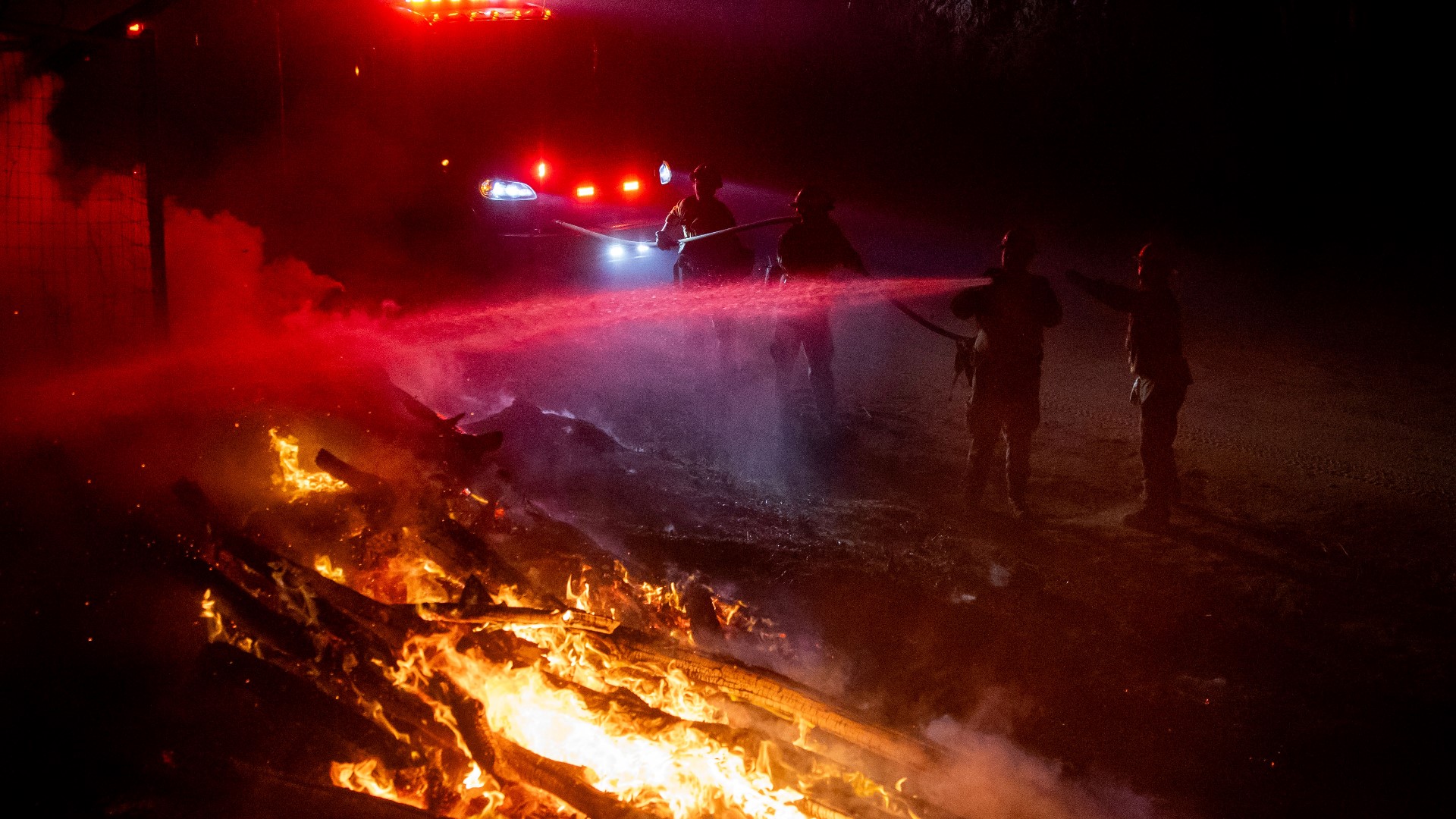
Nearing full containment comes as a result of the hard work of fire crews, removing hazard trees, repairing hand and dozer fire lines, and securing steep and rugged terrain.
Over the past few days, firefighters have battled changing weather patterns in addition to the flames. The wind has increased and temperatures are still high causing an increase in fire activity. However, higher humidity levels and cooler temperatures over the weekend dampened fire activity, letting firefighters focus on securing containment lines.
In the west zone of the fire, following the recent rainfall, the northeast winds are expected to quickly dry the air. Temperatures are increasing, causing vegetation to dry and that could make the smoke more visible.
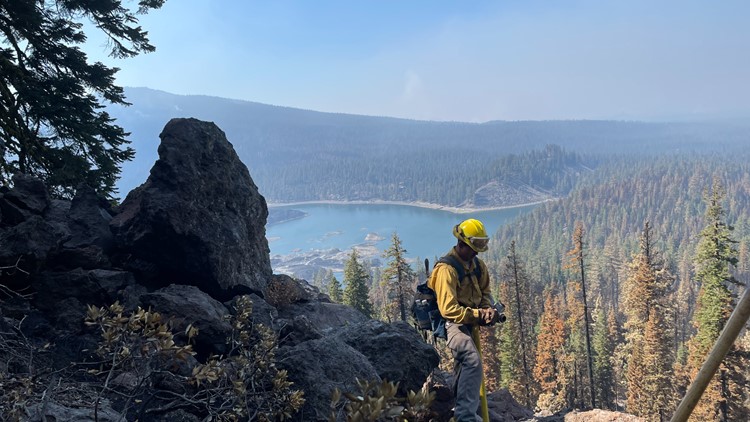
In the east zone of the fire, firefighters will focus directly on securing the steep and rugged terrain in the Devil's Punchbowl area, and crews are focusing on maintaining patrols throughout the fire perimeter and mopping up lines.
As of September 15, Highway 44 between County Road A-21 and Hwy 89 have reopened with traffic controls measures in place. Current roadway status can be found HERE or HERE.
In order to provide safety for firefighters and the public, the Lassen National Forest Dixie Fire Closure Order is in effect until November 30, 2021.
As the Dixie Fire continues to grow, it is now less than 70,000 acres from becoming the largest wildfire to burn in California history. The August Complex, which was made up of several lightning-sparked fires, is currently the largest fire, burning 1,032,648 acres in 2020.
Dixie Fire accounts to follow:
- Butte County Sheriff
- Butte County
- Cal Fire
- CAL FIRE Butte Unit/Butte County Fire Department
- Caltrans District 2
- Lassen County Website
- National Forest Closures
- Plumas County Sheriff's Office
- Plumas County Website
- Shasta County Website
- Shasta Sheriff Website
- Shasta 2-1-1 Dixie Info
- Code Red Sign Up
- Tehama County Website
- Tehama Sheriff Website
- Tehama Alert
Evacuations and road closures
Click HERE for in-depth evacuation orders and warnings in Plumas, Butte, Tehama, and Lassen Counties. For current state highway/route information visit roads.dot.ca.gov.
Evacuation centers
Shasta County:
Word of Life Assembly of God Church 37341 Main Street off HWY 299 Burney, CA 96013
Plumas County/Lassen County:
- Holy Family Catholic Church 108 Taylor Ave. Portola, CA (At Capacity)
- Sparks Convention Center Hall #5, 4590 S. Virginia St., Reno, NV
American Red Cross: Public Information Line (855)-755-7711
Animal Evacuation Centers
- Plumas County
- Plumas County Fairgrounds 204 Fairground Road, Quincy
(large animals) - 201 Mill Creek Road, Quincy
(small animals) - Recreation Center 101 Meadowview Lane, Chester
- Plumas County Fairgrounds 204 Fairground Road, Quincy
Wildlife Rescue
- Response for injured wildlife: 1-800-942-6459
- Gold Country Wildlife Rescue: 1-530-885-0862
Dixie Fire Structure Status Map
A live map showing which structures have been destroyed or at risk is available below.
Evacuation Map
A live evacuation map is available below.
Wildfire Map
An updated map of the acreage of the Dixie Fire.
►Stay in the know! Sign up now for the Daily Blend Newsletter
WILDFIRE PREPS
According to Cal Fire, 2020 was one of the most severe fire seasons on record as 9,917 wildfires burned 4.2 million acres. Over 9,000 structures were destroyed, and 31 people (civilians and firefighters) were killed.
California also experienced its first "Gigafire" because of the August Complex Fire, burning over 1 million acres by itself. Four of California's top five largest wildfires in state history happened in 2020.
If you live in a wildfire-prone zone, Cal Fire suggests creating a defensible space around your home. Defensible space is an area around a building in which vegetation and other debris are completely cleared. At least 100 feet is recommended.
The Department of Homeland Security suggests assembling an emergency kit that has important documents, N95 respirator masks, supplies to grab with you if you’re forced to leave at a moment’s notice. The agency also suggests signing up for local warning system notifications and know your community’s evacuation plans best to prepare yourself and your family in cases of wildfires.
Some counties use Nixle alerts to update residents on severe weather, wildfires, and other news. To sign up, www.nixle.com or text your zip code to 888777 to start receiving alerts.
PG&E customers can also subscribe to alerts via text, email, or phone call. If you're a PG&E customer, visit the Profile & Alerts section of your account to register.
WATCH MORE ON ABC10: Northern California weather forecast | Monday morning, Sept. 20, 2021