
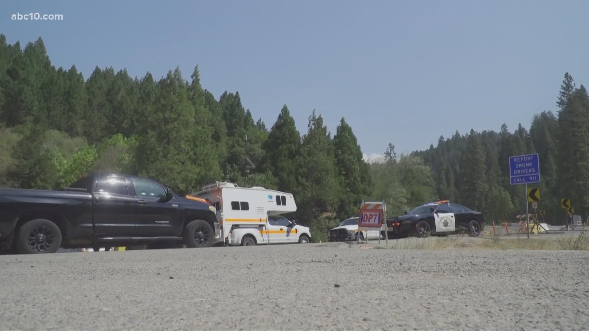
EL DORADO COUNTY, Calif. — A stretch of Highway 50 that's been closed for weeks finally reopened on Monday, but just for residents, business owners, and certain commercial vehicles.
In order to access the area between Kyburz and Meyers, residents will need to show proof of residency and get a permit from the El Dorado County Sheriff’s Department.
Passes are available at the Chevron Gas Station by Fresh Pond in Pollock Pines or on Santa Fe Road in Myers. The passes will be available on Monday, September 20 from 8 a.m. – 4 p.m. You can fill out the online pass application beforehand HERE.
“Crews have been working around the clock and we’re expecting to have residents come through," Angela DaPrado, a public information officer with CalTrans announced during the Caldor Fire Virtual Community meeting. "We will allow the general public starting at 8 am on Tuesday but at 8 a.m. on Monday, we will allow residents to come back through with identification of residency and also goods and services.”
Cal Fire asks that those residents with a permit traveling through the area be cautious of fire personnel and heavy equipment and proceed with care.
"We do want to remind anyone that might be heading into the highway 50 corridor... that this is for commercial commerce vehicles only," Jonathan Ashford, the information officer for US Forest Service - Lake Tahoe Basin Management Unit explained. "This is for residents and private property owners who need to go in and secure or inspect their property. There’s still a tremendous amount of work happening in that area. We have heavy equipment, fire personnel, utility workers who are trying to restore service to that area so be very mindful if you are traveling in the highway 50 corridor that it’s going to be busy and there may be stops, or traffic, or people near the roadway."
The reopening of Highway 50 comes at the same time as a Red Flag Warning, which is in effect through 11 a.m. Tuesday due to high winds and low relative humidity levels. Humidity levels will range from 13-25% over the fire paired with downslope winds from the East-northeast which will impact the fire.
"Today’s the first big east wind day on this incident and so you don’t know how to react," Jeff Marsolais, the Forest Supervisor for El Dorado National Forest said in the Caldor Fire Morning Operations Briefing. "We have good plans, and we’re asking you to put your head on a swivel because today could be different than other days. We’re also repopulating highway 50 with those folks who have experienced loss so that too will come with some consequences."
Key Figures
- Acres: 219,101
- Containment: 75%
- Homes destroyed: 782
- Structures threatened: 5,465
- Structures damaged: 81
- 1,833 personnel
Evacuations and Road Closures
Click HERE for in-depth evacuation orders and warnings in El Dorado County. For evacuation orders and warnings in Amador County, click HERE for the Amador County Sheriff's Facebook page and HERE for their website. Click HERE for Alpine County evacuation zones. Click HERE for Douglas County evacuations. For current state highway/route information visit roads.dot.ca.gov.
Evacuation centers
El Dorado County Shelters
- Rolling Hills Church, El Dorado Hills
Nevada state shelters
- Reno Sparks Convention Center at 4590 S. Virginia Street, Reno
Animal Evacuation Centers:
- El Dorado County Animal Services (small animals), Diamond Springs. For animal evacuation questions or assistance call (530) 621-5795
- Saureel Vineyards (large animals), Placerville - FULL
- East to West Grooming 1368 Hwy 395, Unit B1, Gardnerville, NV
- (Small Animals Only) - Washoe County Animal Services 2825 Longley Ln, Ste A Reno, NV
- Douglas County Fairgrounds- (Livestock) 920 Dump Road, Gardnerville, NV
775-782-9061 - Douglas County Animal Services 921 Dump Rd. Gardnerville, NV
- (Small Animals Only)
Accounts to follow
Evacuation Maps
A map of evacuations from the El Dorado County Sheriff's Office is available below.
A map of evacuations in Alpine County is available below.
Online Structure Damage Map
An online structure damage map is available by clicking HERE or viewing below. To locate your home, type in the address in the top left corner. If you don't see an icon, the structure has not yet been identified.
Wildfire map
Click here for a map of the Caldor Fire.
►Stay in the know! Sign up now for the Daily Blend Newsletter
Wildfire Preps
If you live in a wildfire-prone zone, Cal Fire suggests creating a defensible space around your home. Defensible space is an area around a building in which vegetation and other debris are completely cleared. At least 100 feet is recommended.
The Department of Homeland Security suggests assembling an emergency kit that has important documents, N95 respirator masks, supplies to grab with you if you’re forced to leave at a moment’s notice. The agency also suggests signing up for local warning system notifications and know your community’s evacuation plans best to prepare yourself and your family in cases of wildfires.
Some counties use Nixle alerts to update residents on severe weather, wildfires, and other news. To sign up, visit www.nixle.com or text your zip code to 888777 to start receiving alerts.
PG&E customers can also subscribe to alerts via text, email, or phone call. If you're a PG&E customer, visit the Profile & Alerts section of your account to register.
WATCH MORE ON ABC10: Northern California Fire Forecast: Red Flag Warning -- Sept. 19, 2021