
FORESTHILL, Calif. — According to the National Weather Service Sacramento, a Flash Flood Watch is in effect through Tuesday evening for the Mosquito Fire burn scar. Rain in the morning can increase the risk of ash and debris flow along with any possible thunderstorms.
Crews took advantage of cooler temperatures and higher humidity this weekend to make direct control lines on the eastern side of the fire.
Placer and El Dorado County Sheriff Offices downgraded many evacuation orders and warnings Sunday afternoon. Containment has risen to 39% and the fire is currently around 76,290 acres in size. 78 structures were destroyed in the fire and 13 structures were damaged.
On Friday, Placer County released a map showing specific damage caused by the fire. El Dorado County also released a map showing specific damage caused by the fire.
► Scroll down for evacuation maps and other fire resources.
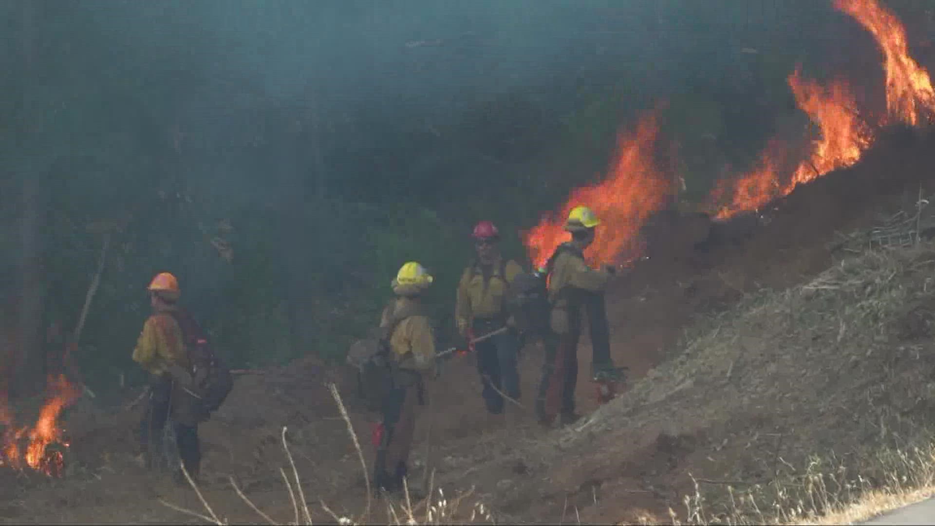
PHOTOS: Scenes from the Mosquito Fire
GO DEEPER: Pyrocumulus: What is it and how does it form?
STAY HEALTHY: How to check the air quality where you live
Stay Informed
Live Evacuation Maps
Placer County Sheriff's Office evacuation map (You need to click the "I Understand" box to use the map):
El Dorado County Sheriff's Office evacuation map (You need to click the "I Understand" box to use the map):
STAY INFORMED WITH ABC10:
► ABC10 In Your Inbox: Sign up now for our daily newsletter for local headlines, weather, tips and even something to make you smile.
► ABC10 On Demand: Get access to our local news, live programming and weather with the free ABC10 app for Roku and Amazon Fire TV.
Evacuation Centers
Evacuation centers:
- Rocklin: Sierra College at 5100 Sierra College Blvd
- Cameron Park: Cameron Park Services District at 2502 Country Club Drive
- Overnight shelter, meals, showers, limited health services, and parking for trailers will be provided. Animals in crates and carriers will be accepted.
- Placerville: Green Valley Community Church at 3500 Missouri Flat Rd.
- No Large animals or no birds. Limited RV parking and no hookups
For large and small animals:
- Gold Country Fairgrounds, 209 Fairgate Road, Auburn, California (large & small animals, livestock ok)
- Diamond Springs Shelter, 6435 Capitol Avenue, Diamond Springs, California (small animals only)
- Rancho Murieta Equestrian Center: call 916-985-7334 for information (equines only)
- Flying M Ranch, 5421 Buck Mountain Road, Placerville, California (large animals only)
Fire Map
This map from the National Interagency Fire Center shows fire activity (this may take a few seconds to load):
Road Closures
For a Waze map with current road closures, click here.
Watch more on ABC10


