
CALIFORNIA, USA — Head over to our newly updated highway closure reports as of Dec. 28.
Original story:
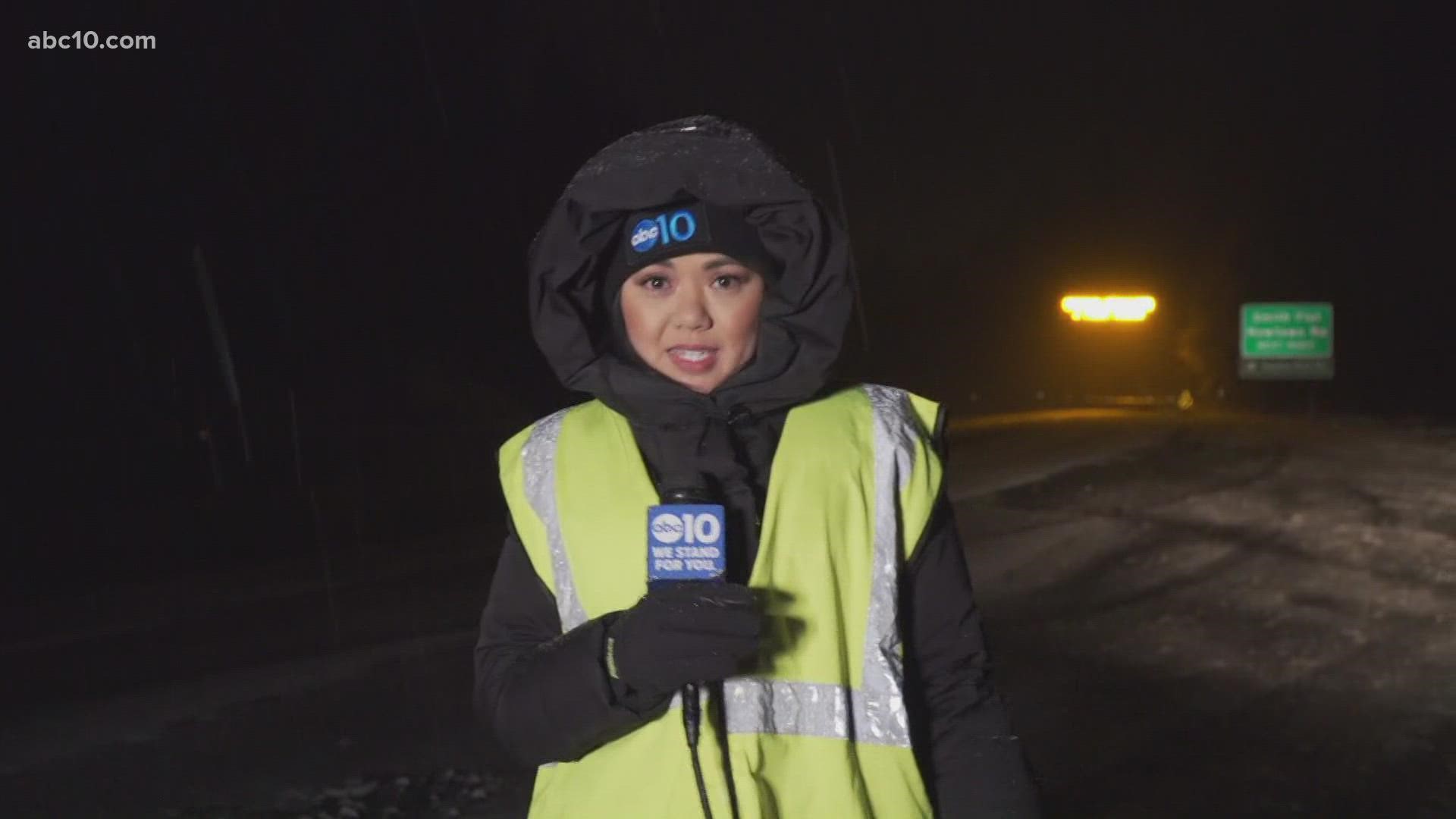
A major Christmas weekend storm caused whiteout conditions and closed key highways amid blowing snow in the mountains of Northern California and Nevada, with forecasters warning that travel in the Sierra Nevada could be difficult for several days.
Caltrans tweeted that it expects Highway 50 and Interstate 80 to be closed over the Sierra overnight due to poor visibility and slippery conditions for drivers.
Authorities near Reno reported a 20-car pileup on a snow-blow highway where drivers described whiteout conditions.
Sierra Highways
Highway 50 is closed Sunday evening between Placerville and Meyers in both directions. Caltrans said it will reassess Monday.
Interstate 80 is closed in both directions between Applegate and the Nevada state line Sunday due to poor visibility. Caltrans said it will reassess Monday.
► Check the Caltrans road information tool for the latest on any highway in California.
Authorities are asking people not to try to get through on closed local roads.
"Emergency personnel are being stretched thin and we need the public's help to spread the message, stay inside if possible!," Plumas County Sheriff's Deputy Chandler Peay said.
The county's Search and Rescue team says that its members had to rescue people who were relying on phone navigation apps to get them over the Sierra.
"SAR rescued nearly a dozen vehicles from Gold Lake Hwy., and turned away dozens more that were being routed that way by Google Maps and Apple Maps," its Facebook post says. "All state highways through the northern Sierra are currently closed due to winter storm conditions."
South Lake Tahoe Police posted to Facebook in all caps "STAY OFF THE ROADS!!!"
RELATED: Sacramento Weather Forecast
Live Maps
Live map showing traffic conditions along Interstate 80, Highway 50, Highway 89 around Lake Tahoe and the Sierra Mountains.
Snow Park locations are identified with purple markers.
Accounts to follow if you're traveling in Northern California:
Sacramento Valley traffic from Waze (zoom in to where you want to go):
STORM RESOURCES:
► FORECAST DETAILS | Check out our hourly forecast and radar pages.
► GET WEATHER ALERTS TO YOUR PHONE | Download the ABC10 mobile app
► WEATHER IN YOUR EMAIL | Sign up for the Daily Blend Newsletter
Forecast
Watch Monica's forecast:


