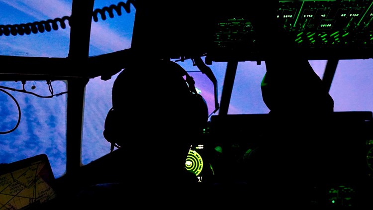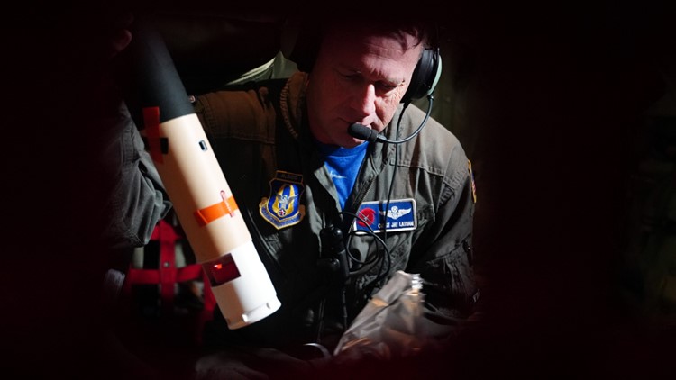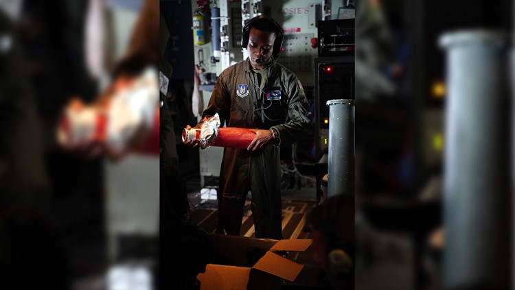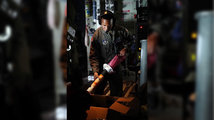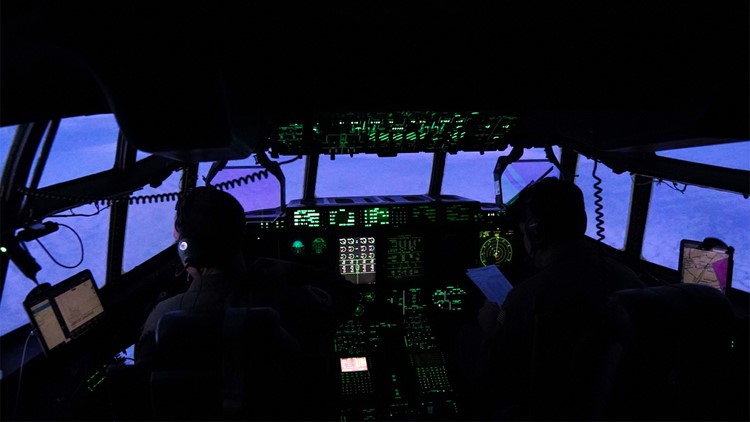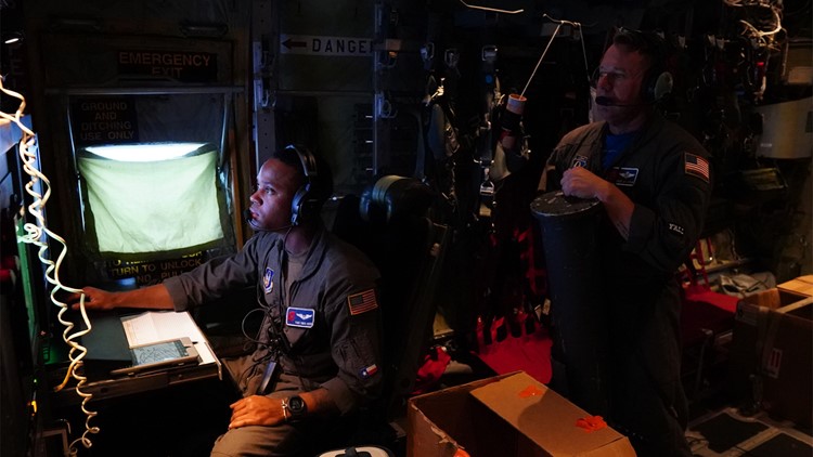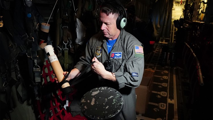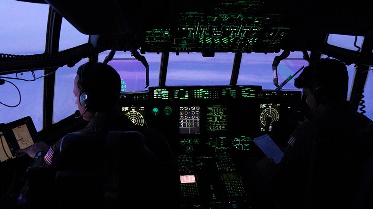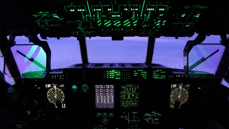
CALIFORNIA, USA — With a blast that sounds like a louder version of a toilet flushing on a commercial airliner, a cardboard cylinder full of electronics shoots out of the bottom of the C-130 cargo plane over the Pacific Ocean.
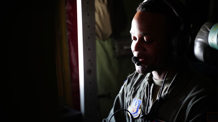
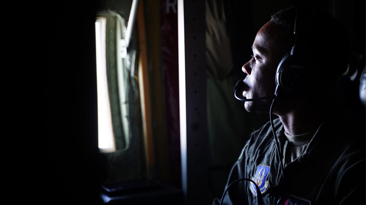
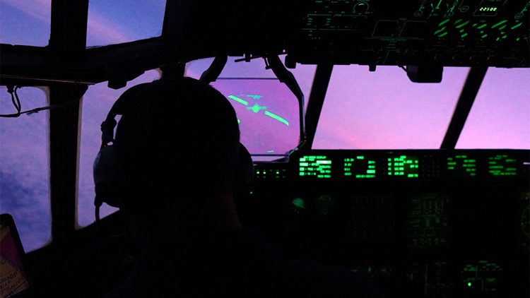
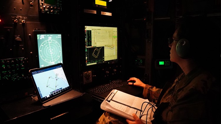
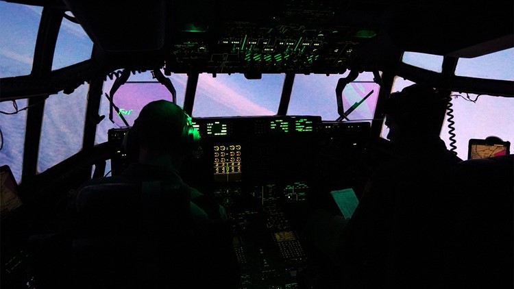
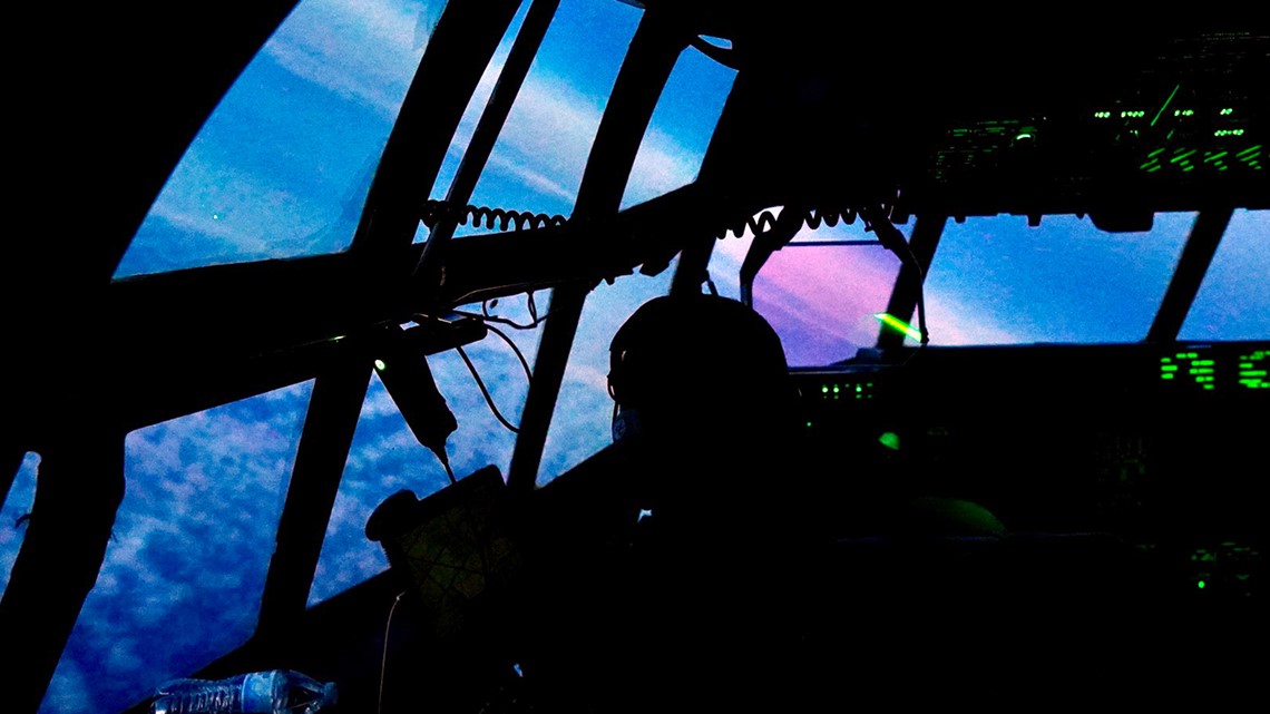
“Sonde’s away,” calls out Tech. Sgt. Vince Boyd, checking a screen to see that the device is working. “It’s a good sonde.”
For the next 12 minutes, the dropsonde parachutes down to the sea below transmitting weather data all the way. Each drop gives forecasters more data to track the atmospheric river below them, both for short-term forecasts and long-term tracking of the changing climate.
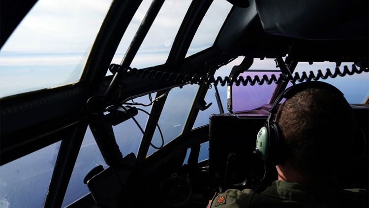
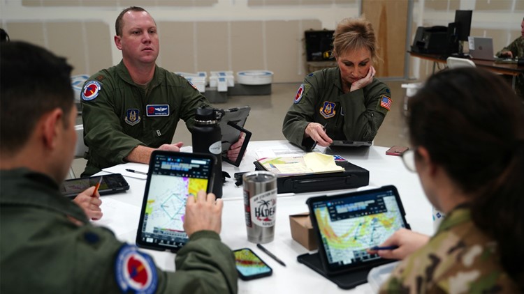
“Pressure, temperature, humidity, wind speed, wind direction… we're dropping 25 to 30 of those sondes along our entire route today,” said Lt. Col. Jeremy DeHart, the weather officer on the mission.

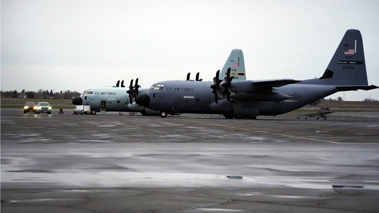
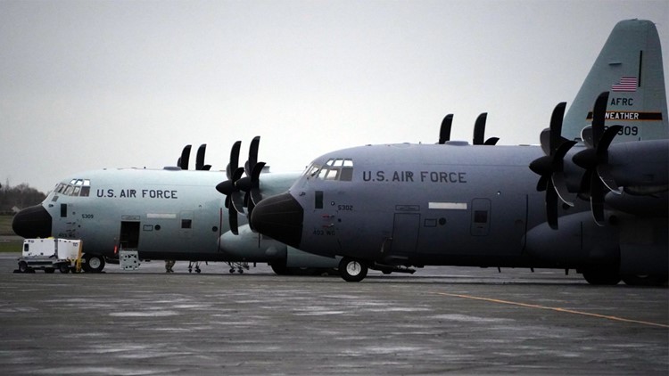
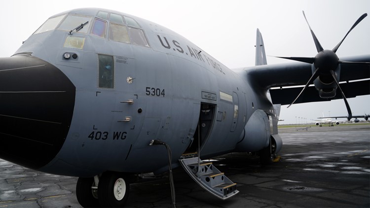
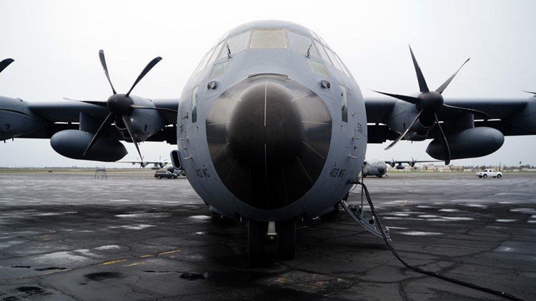
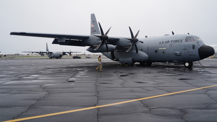
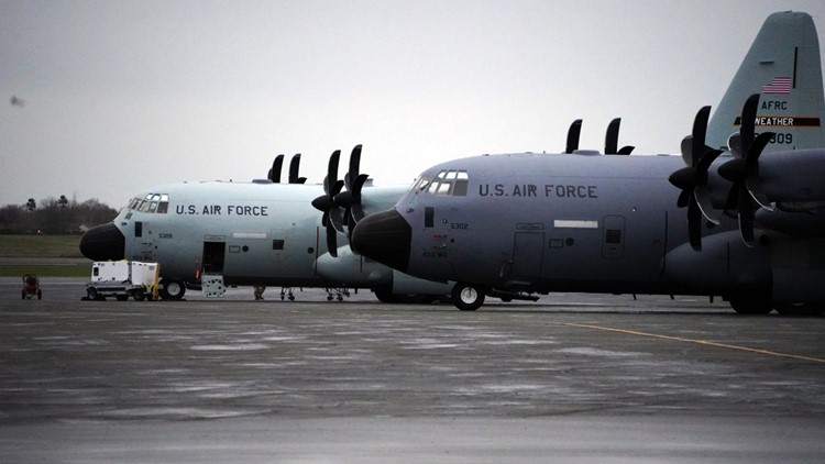
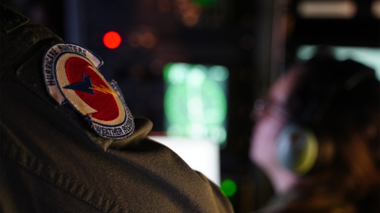
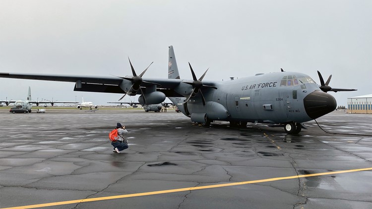
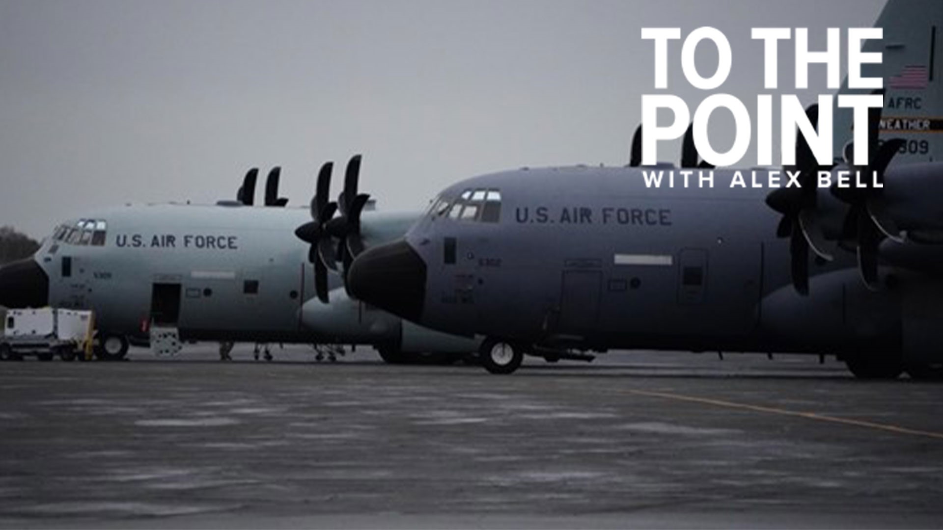
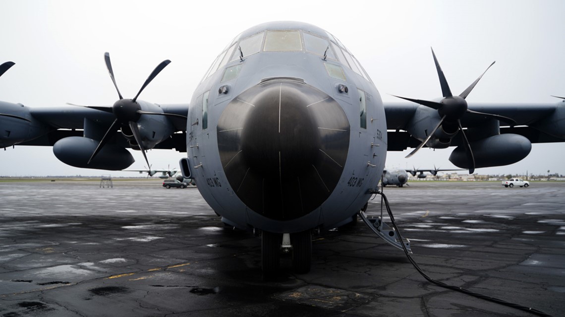
The Mississippi-based crew are members of the U.S. Air Force Reserve’s 53rd Weather Reconnaissance Squadron, better known as the Hurricane Hunters.
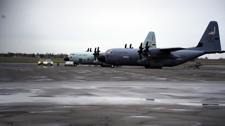
The unit recently sent four of its specialized weather surveilling aircraft to Sacramento’s Mather Field, where they’ll spend two months collecting data on the series of atmospheric rivers soaking California.
The planes arrived amid ongoing destruction from the weather systems, including floods that turned deadly and widespread wind damage.
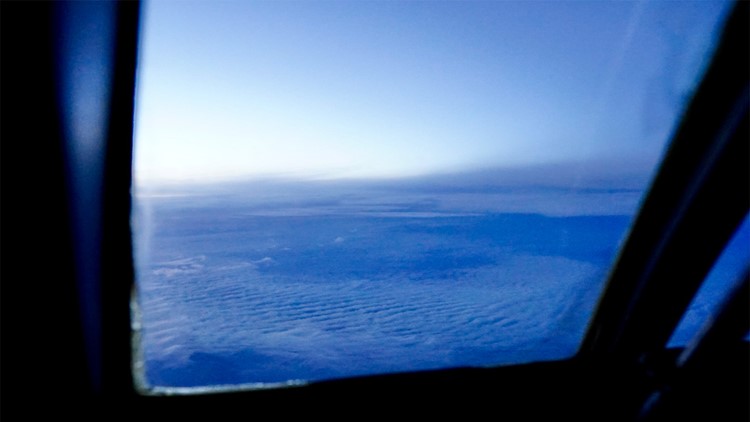
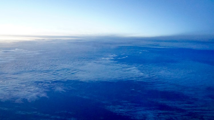
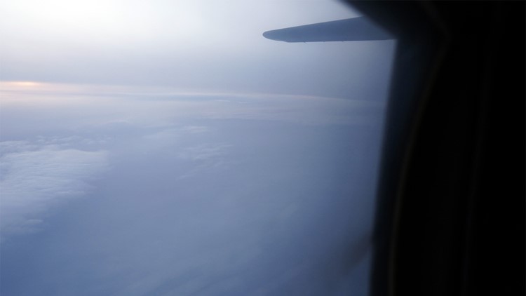
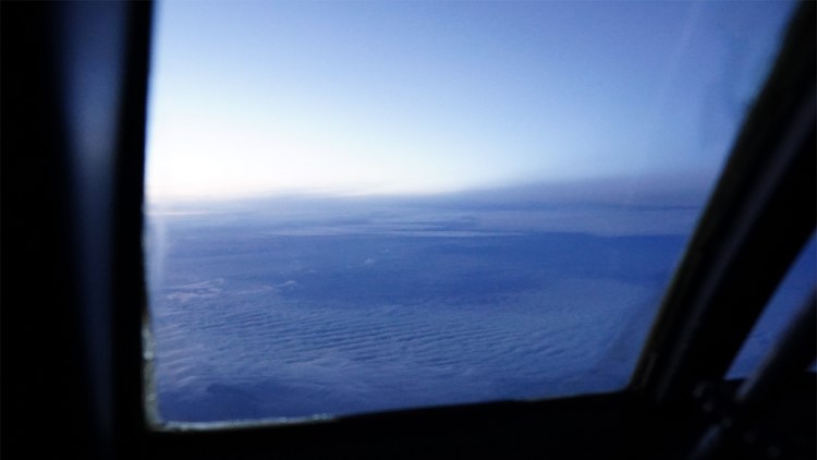
The atmospheric river is a system that sucks up incredible bands of vapor that can stretch hundreds of miles wide and thousands of miles long. The stream of vapor carries 25 times as much water content as the Mississippi River, but where it will make landfall is notoriously hard to predict.
“It's basically a fire hose of precipitation,” said DeHart. “Our job is to collect data from these atmospheric river systems as they're approaching the West Coast.”


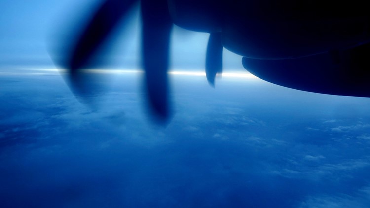
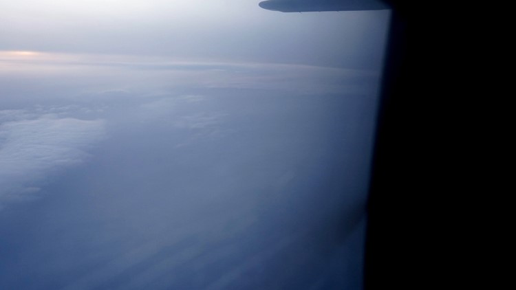
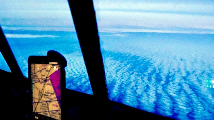
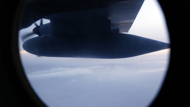
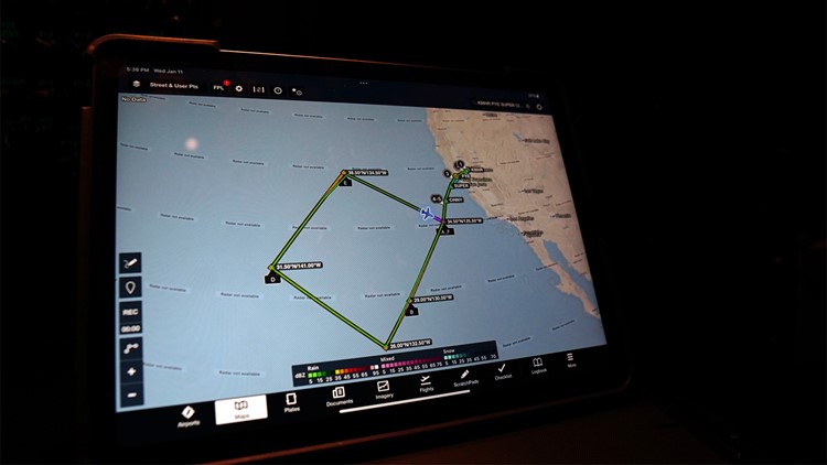
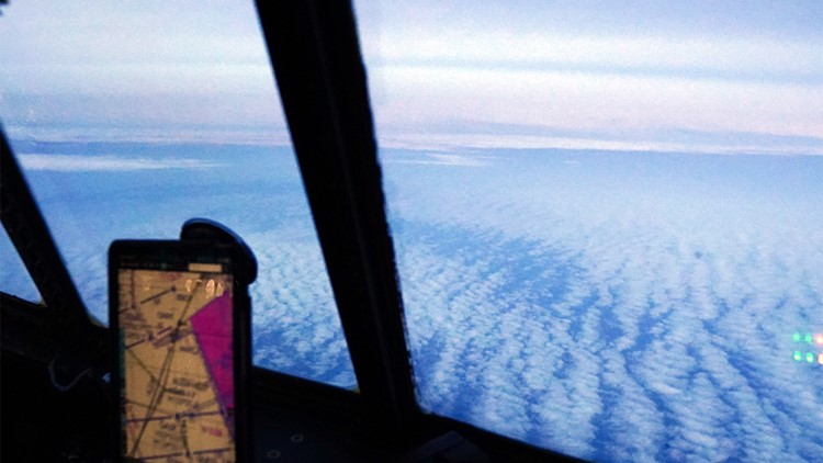
This plane, flying under call sign TEAL 71, flew in a giant diamond-shaped path that stretched from just off the Northern California coast to about halfway to Hawaii.
The fact that many atmospheric rivers come to the mainland from the area around Hawaii is why Californians are more familiar with them by the name “Pineapple Express.”
“They aren't new, but we've only in the past few decades really been able to spot them with satellites,” said Anna Wilson, who manages research for the Center for Western Weather and Water Extremes at UC San Diego’s Scripps Institution of Oceanography.
Satellites can’t always see the atmospheric rivers, which tend to transport moisture at an altitude of around 10,000 feet. Higher clouds can obscure the view.
Wilson says it’s not uncommon for the forecasted landfall of an atmospheric river to be off by 200 to 300 miles.
The data obtained from aircraft has been demonstrated to improve forecasts, she added. Researchers re-ran weather models, but removed the dropsonde data. They found the models gave less accurate predictions.
“We can have as much as 20% improvement in the precipitation intensity forecasts in the Pacific Northwest,” Wilson said of one recent finding.
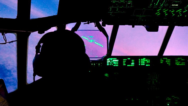
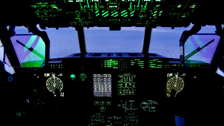
The Hurricane Hunter plane transmits its data via satellite, which means that within 10 seconds it can be incorporated into weather models in real time as the plane flies. There’s also long-term value in the data.
“There's a lot of research ongoing to understand how atmospheric rivers may change with climate change,” said Wilson, who added there’s some evidence to suggest the warmer climate may be linked to more damaging atmospheric rivers.
The proven usefulness of the data has caused the Hurricane Hunters to fly more wintertime missions over the Pacific.
In recent years, they’ve gone from being one-off research missions to what’s happening now: a two-month assignment to Sacramento, with multiple crews taking turns flying in two-week shifts.

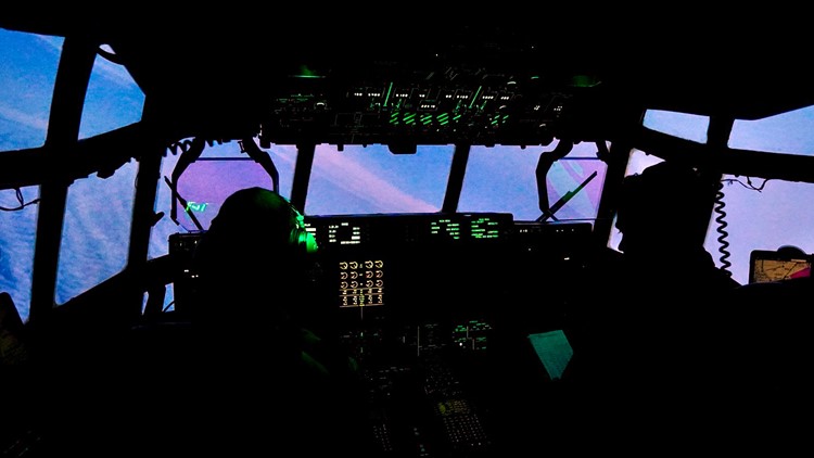
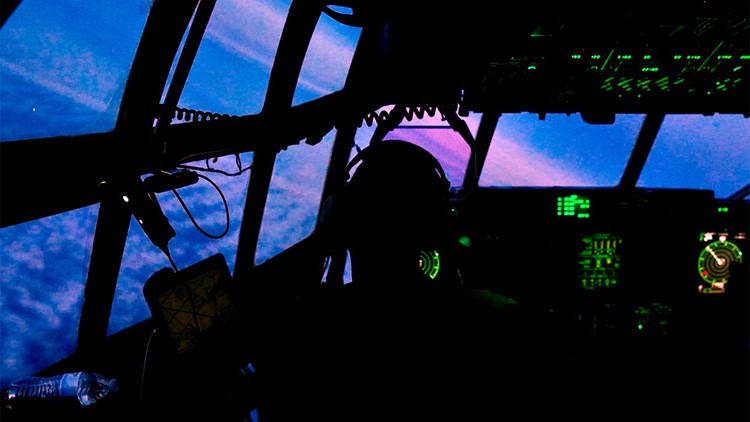
These missions don’t come with the harrowing experience of penetrating the eyewall of a hurricane.
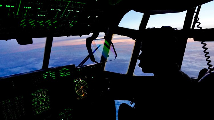
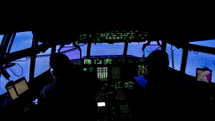
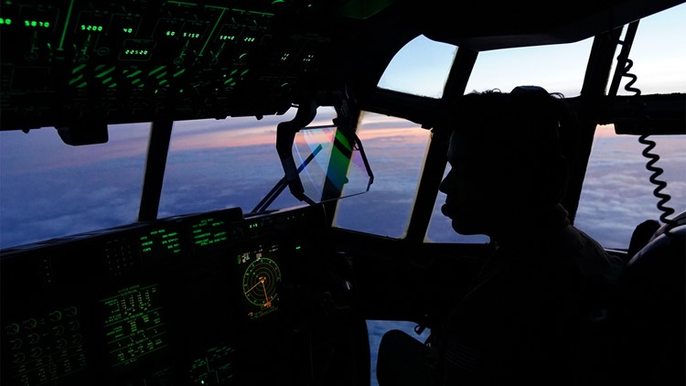
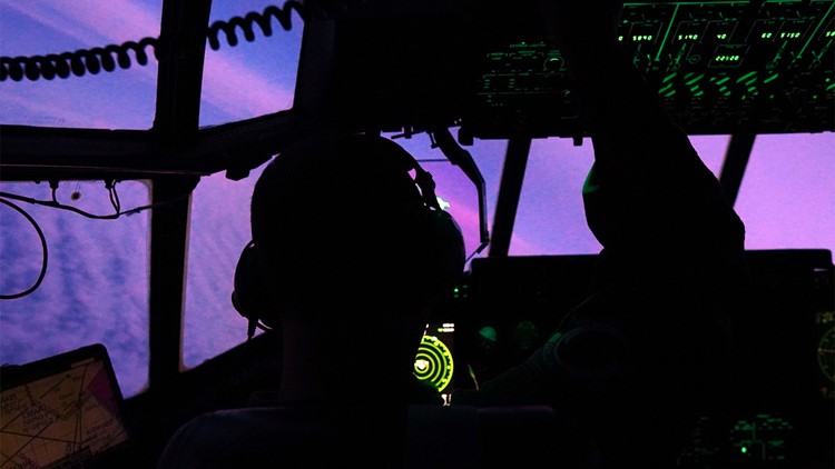
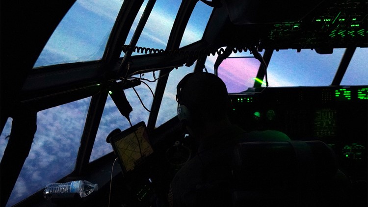
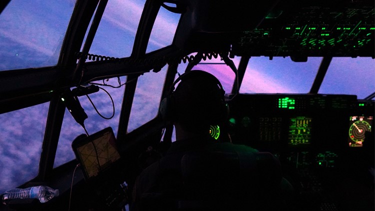
“In this atmospheric river environment, we try to keep a distance from thunderstorms, just like we normally would just flying point A to point B,” said Maj. Peyton Eustis at the controls of the plane. “It's a relatively new mission for us.”
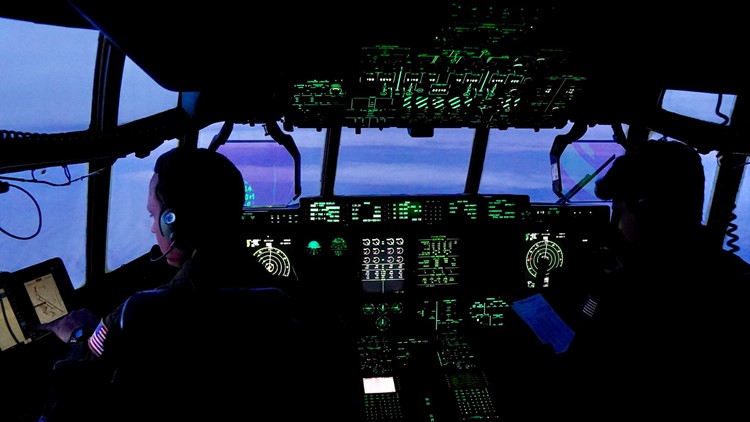
This is his third year flying atmospheric rivers. It looks very unlikely to be his last. Besides the weather instruments, the Hurricane Hunter’s Pacific flights share one thing in common with missions over the Atlantic: they’re long.
“I've been on a mission that's 12 hours, but we enjoy anything less than 10. I'll tell you that,” said Eustis.
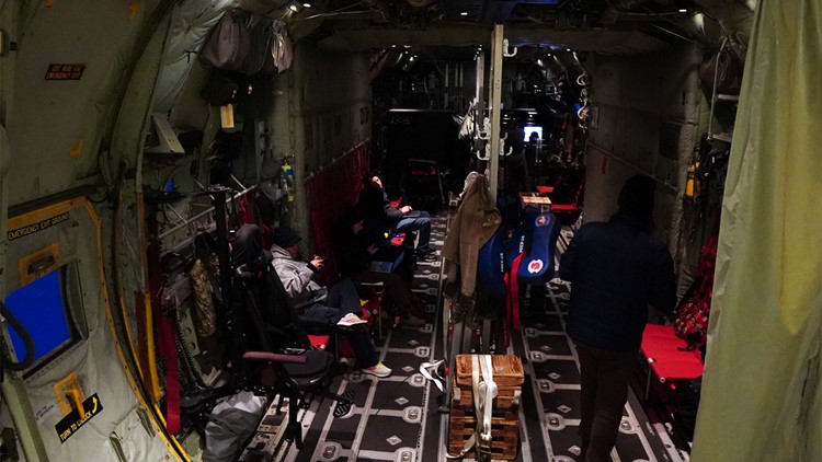
The crew passes the time by keeping track of who’s done more pushups in the cavernous belly of the cargo plane.
If they keep delivering useful data, it’s likely there’ll be more pushups over the Pacific for years to come.