If viewing on the ABC10 app, click here for multimedia
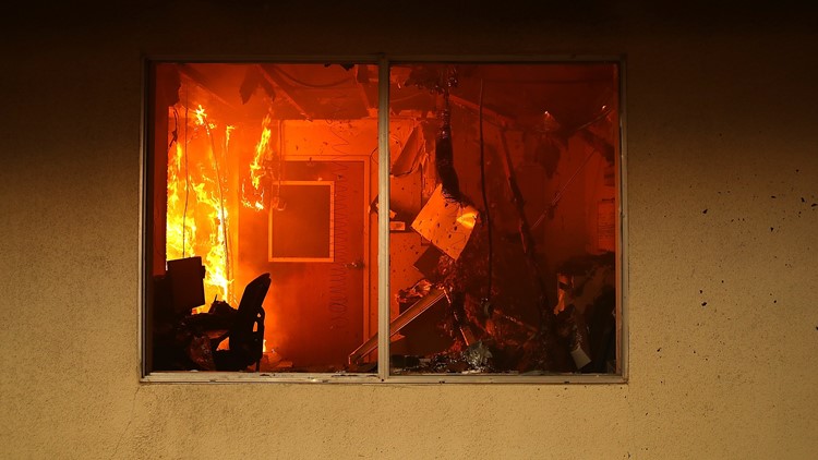
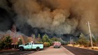
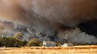
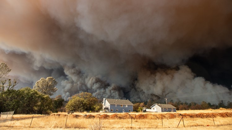
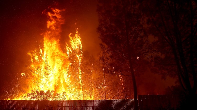
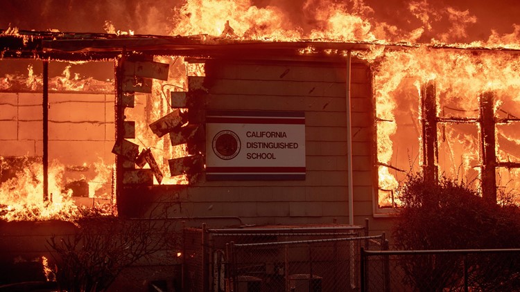
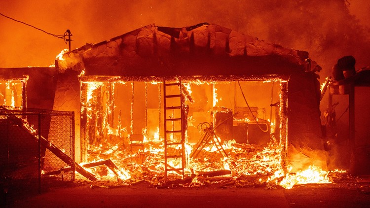
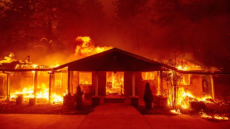
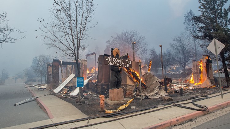
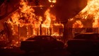
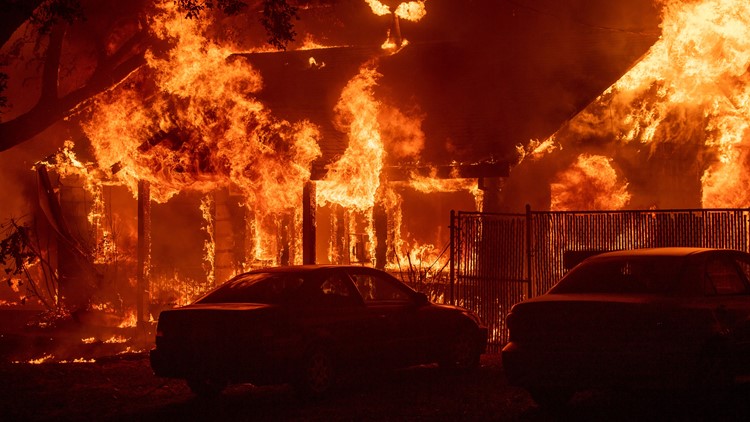
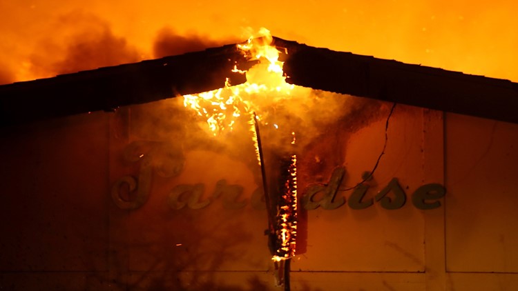
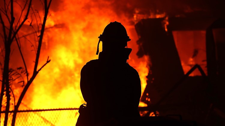
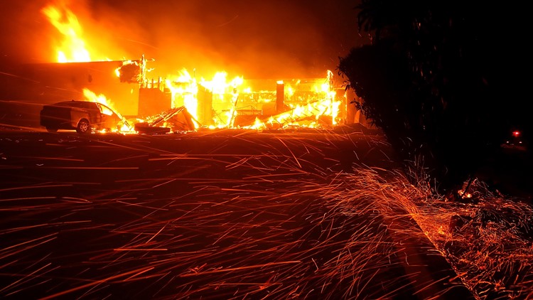
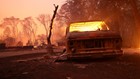
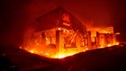
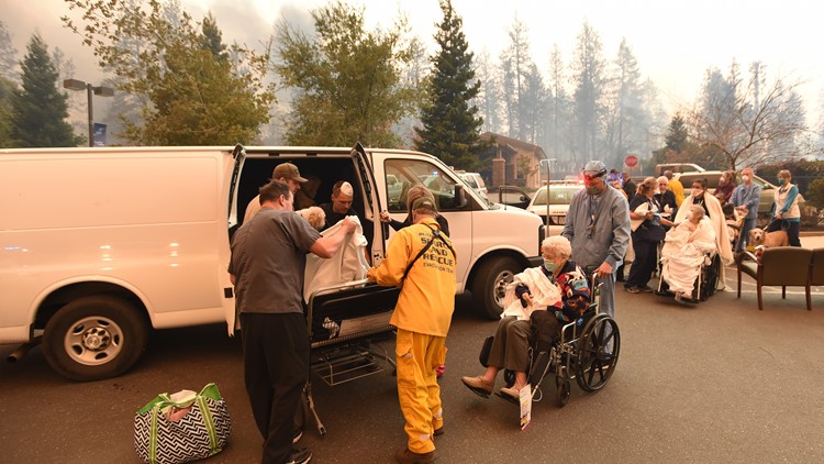
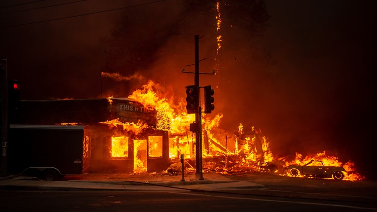
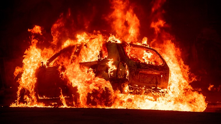
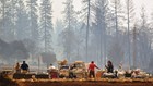
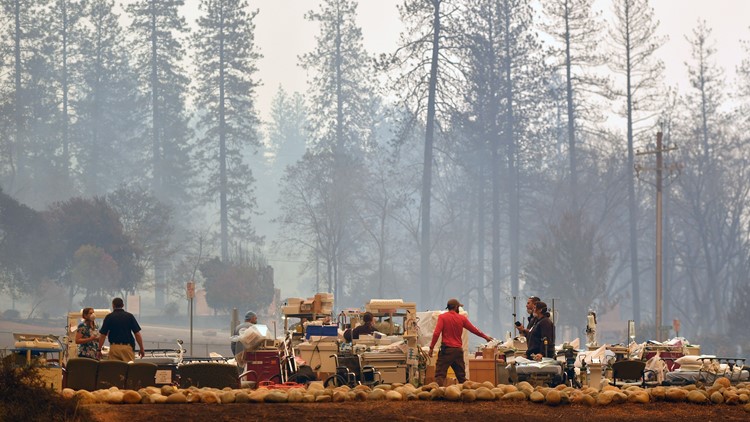
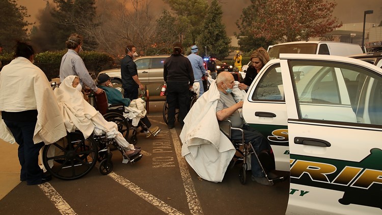
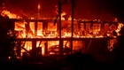
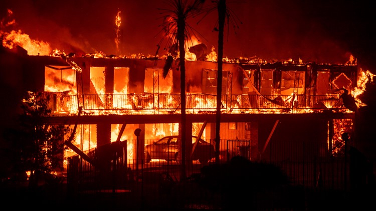
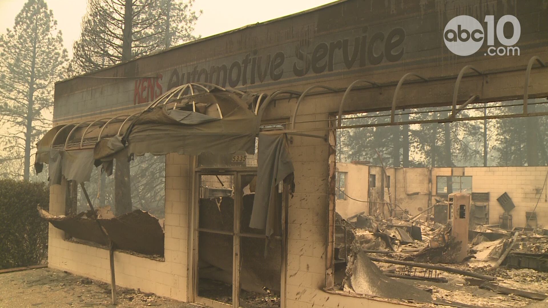
The Camp Fire started near Pulga Road at Camp Creek Road near Jarbo Gap at about 6:30 Thursday morning, November 8, 2018. It has burned more than 100,000 acres, according to CAL FIRE.
The Butte County Sheriff's Office is posting the latest evacuation information on Twitter. Click HERE.
The latest CAL Fire map is viewable HERE:
Click HERE for the latest fire information from CAL Fire.
Here's a look at the latest map and resource information from the California Office of Emergency Services. (This map might take a few seconds to load.)
Here are the latest road closures and traffic conditions through from Waze:
Watch now... A cafe owner steps in to help when a Redding man faces an unspeakable tragedy in the aftermath of the Carr Fire: