
If you are viewing on the ABC10 app, tap here for multimedia.
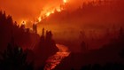
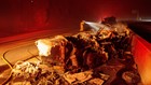
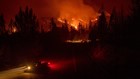
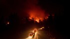
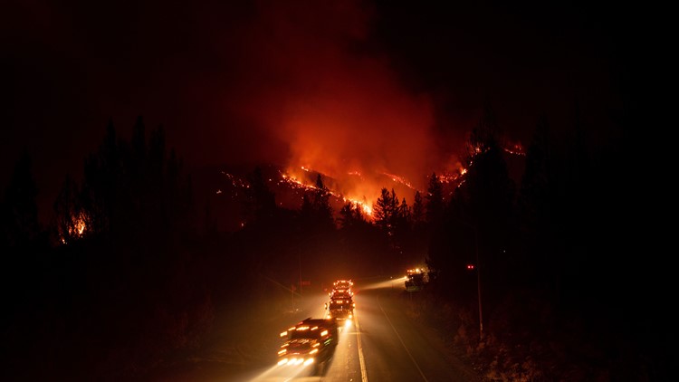
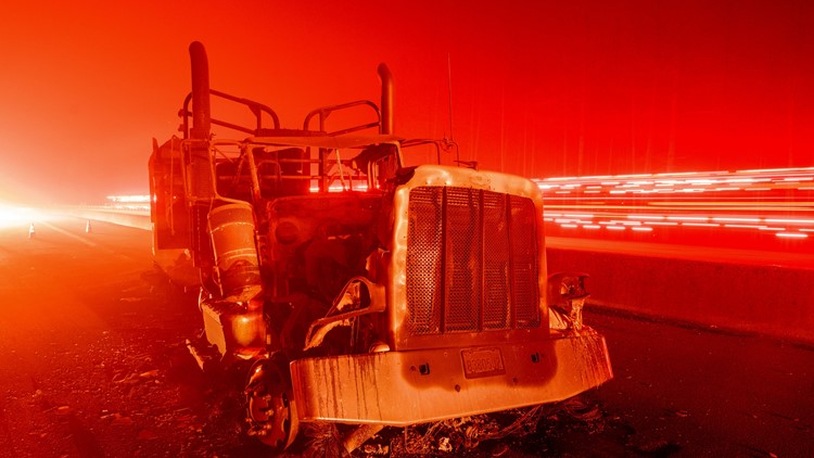
The Delta fire began on Wednesday September 5th about two miles north of the town of Lakehead. Authorities haven't released the exact cause but say it is man-made. That doesn't necessarily mean arson, it could have been an accident.
Click here to see the current incident overview from the U.S. Forest Service. It has the latest evacuation information.
Here is a map of where the Delta Fire is located from CAL FIRE:
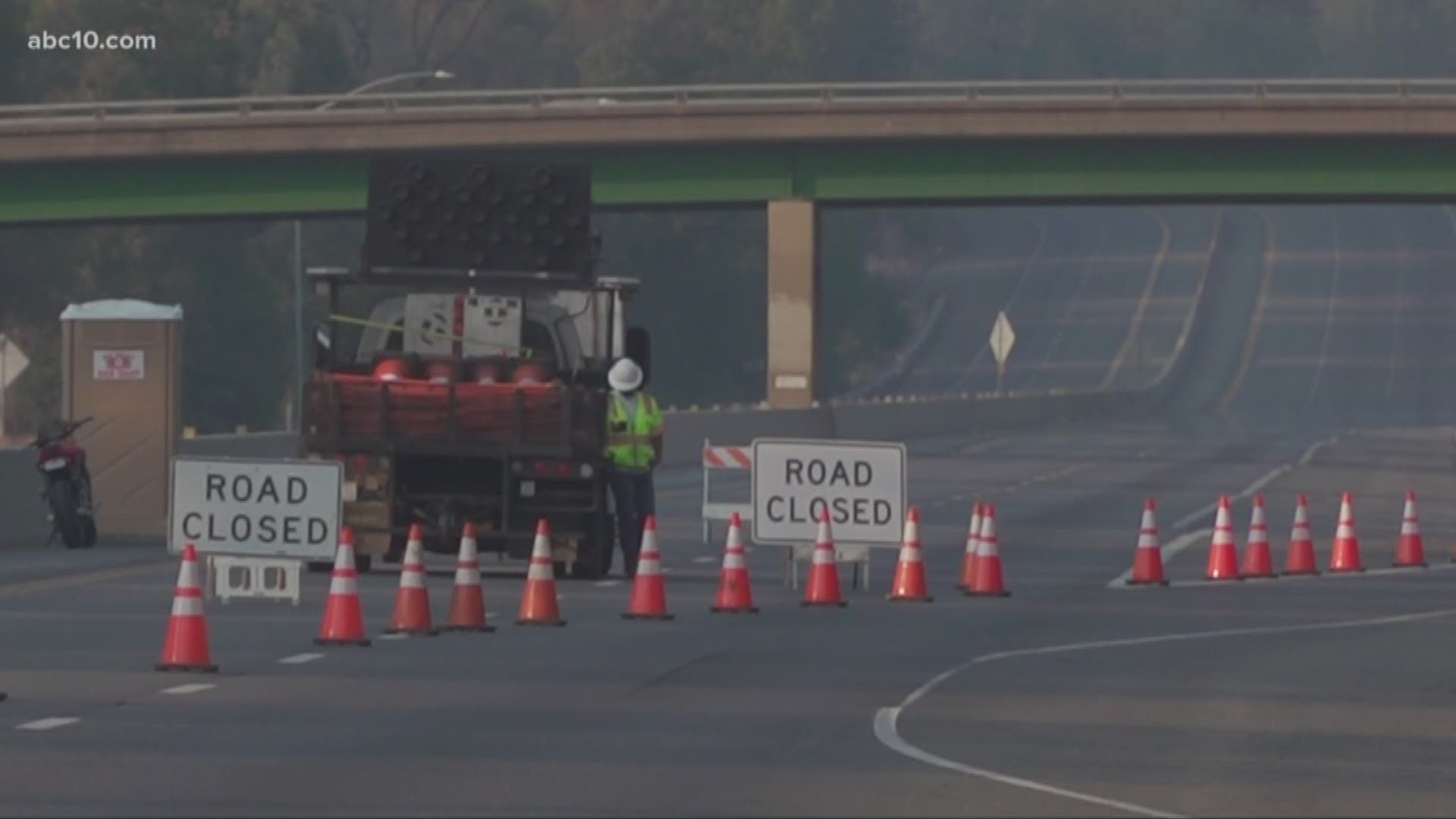
Here is a live look at road closures and traffic in the area from Waze:
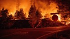
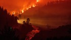
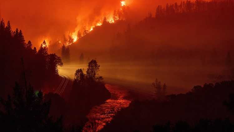
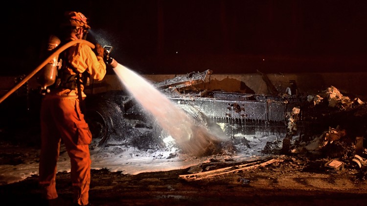
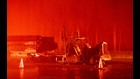
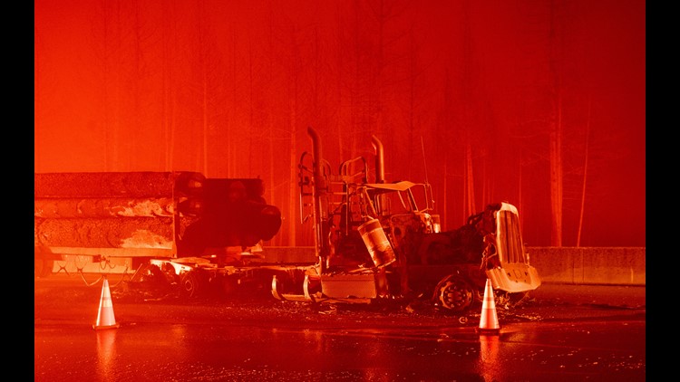
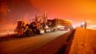
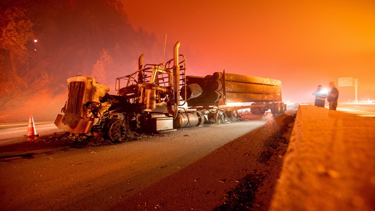
PHOTOS: Delta Fire


One more thing... Watch: Devastating fires aren't just a rural problem anymore. As our climate and communities change, so does when and where wildfires will strike next. ABC10's Monica Woods shows why:
If you are viewing on the ABC10 app, tap here for multimedia.