
SACRAMENTO COUNTY, Calif. — The greatest natural hazard that both the City and County Sacramento faces is flooding.
“Sacramento has a long history of flooding,” said Chief Stephen Cantelme of the Sacramento County Office of Emergency Services.
Some of the most significant flooding events in the area have happened in 1986, '92, '96, '97, and 2017, which were caused by major storms. The flooding risk is so great that Cantelme says the area typically gets ranked #1 or #2 in the nation in terms of flood risk.
The Rivers
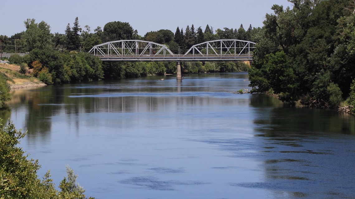
Sacramento River

The Sacramento River extends north to Mount Shasta and the Shasta Reservoir and flows toward the City of Sacramento. The Shasta Dam helps keep flows on the river controlled.
When the Sacramento River reaches capacity, it can cause backflows on the tributary rivers and can flood local areas.
American River

The American River extends to the Sierra Nevada foothills and the Folsom Reservoir and dam helps control the river flows. This river flows toward the City of Sacramento.
As a tributary to the Sacramento River, it can be susceptible to backflows that can flood local areas if the Sacramento River reaches capacity.
“For the most part, the American and Sacramento River are levee systems that are pretty strong. There’s a lot of work that needs to be done, but they’ve been strengthened significantly since the 80s,” Cantelme said.
Cosumnes River


The Cosumnes is the one most likely to attract concern. It’s an uncontrolled and natural river running from the Sierra Nevada foothills and flowing into southern Sacramento County. Most of the area is farmland, and farmer levees were made for containing storm flows.
“There’s always concern, especially with the Cosumnes [River], because of that more vulnerable levee system that they have,” said Cantelme.
Two storms, one in '86 and another '97, left the levee system “sorely damaged,” according to the county's Local Hazard Mitigation Plan.
Localized flooding:
“Unless you have a major storm come in, there’s not too much property damage unless we have water coming out of the rivers,” said Cantelme.
Large storms can bring in localized flooding which can be a general concern, however, it doesn’t usually result in property damage. Usually, those areas would include: Rio Linda, Arden Arcade, Citrus Heights, and the southern part of Sacramento County, where the water tends to stand on clay soil.
Historic floods
Floods are usually the result of severe weather, and most of the emergency declarations for the county have been related to flooding.
Out 17 federal declarations in the county, 12 were for floods. Out of 11 state declarations, 8 were for floods.
Flash Foods - January 2, 1997:
The '97 floods were a result of heavy rains impacting the uncontrolled Cosumnes River. The storm brought the river to record flows that were above the limit for the levees.
It caused 20 breaks, with the largest occurring near the town of Wilton. Flooding inundated 33,000 acres of cropland and 84 homes.
Emergency personnel had to perform rooftop and car-top rescues by boat and helicopter. The event saw one death near the town of McConnel.
Around January 22, 1997, heavy rain brought Chicken Rank Slough out of its banks and flooded the Arden-Arcade area of the city, impacting 1,000 homes and apartment buildings. A few days later, storms re-flooded the neighborhoods surrounding Chicken Ranch Slough and damaging an additional 500 homes.
Flood - January 1, 2006:
Warm winter storms brought rain mudslides, flooding, and high winds to Northern California. There was levee over-topping, breaching, and river flooding along the Feather and Sacramento mainstem rivers and numerous other smaller rivers, creeks, and streams.
Several urban areas saw significant street flooding and the Sacramento weir was opened for the first time since 1997 with 20 gates opened.
Major roads were even closed due to flooding and mudslides. I-80 near Fairfield, I-80 eastbound between Sacramento and Reno, NV, and both directions of U.S. Highway 50 between Sacramento and South Lake Tahoe were all impacted by the events.
Preparing for a flood
“The only thing that would be difficult to react to would be an unforeseen failure in the levee, but, for the most part, floods are planned events basically,” said Cantelme. “You have time to react to them.”
OES monitors weather 24 hours a day and 7 days a week. If a storm comes in, they hold a call with stakeholders and cities where they plan out what to do and what preparations to make. If there is a serious belief that issues will come about, they’ll set up sandbag locations.
Some of their work can include levee patrols where they keep an eye out for any over-topping on the levees or potential breaks.
If there is a break or concern about lives, OES uses their Sacramento Alert system for notifications. It can also provide information on what people should do in the situation, like evacuating or sheltering.
“We’ve got a long way to go before we make this [alert system] as robust as we would like to see it, but it is getting better,” said Cantelme.
With people moving away from landlines and business going to VOIP lines, it’s made contacts more difficult. While it's still the primary system they use, they can also send personnel door-to-door if certain areas are impacted or even use an aircraft and bullhorn to get the word out.
What to know for floods:
Some of the ways to stay informed can include:
- Alert notification signups
- www.sacoes.org
- Follow Sacramento County OES on Twitter, Persicope, Facebook
- Changing an outgoing voicemail to notify callers if you're OK
- Post your status of social media
- Register with the Red Cross Safe and Well
Other elements can include keeping a “Go Bag” handy filled with medications, insurance policies, food, water, clothing, and bedding.
If viewing on the ABC10 app, click HERE for multimedia
________________________________________________________________
Didn't Californians just pass a law to get rid of the Daylight Saving Time change? Yes, we did. Proposition 7 passed with 60 percent of the vote. But to be enacted, a lot more has to be done on the state *and* federal level. Brandon Rittiman explains.