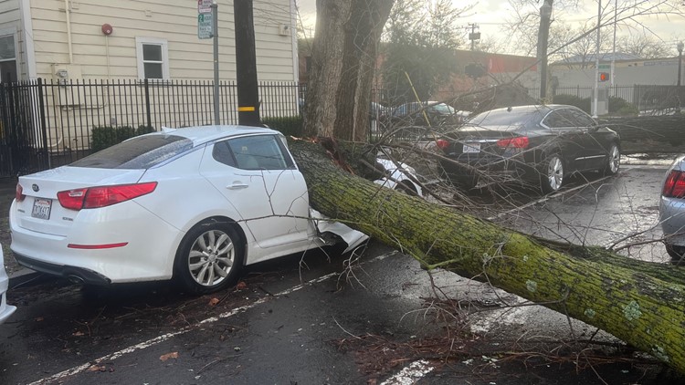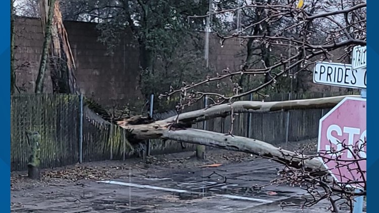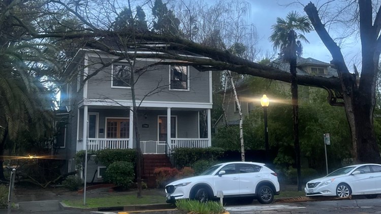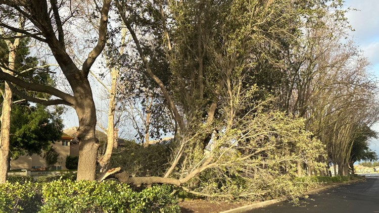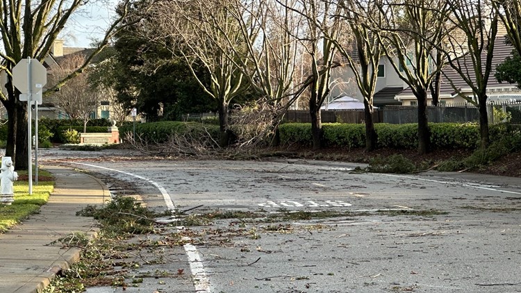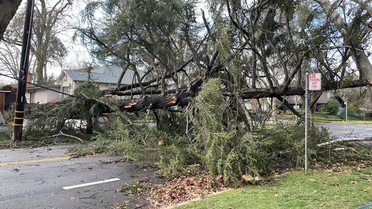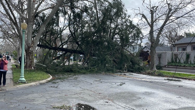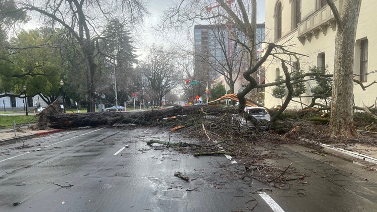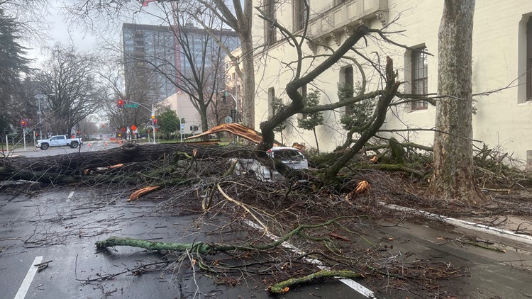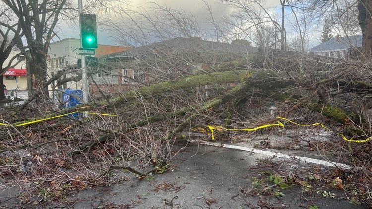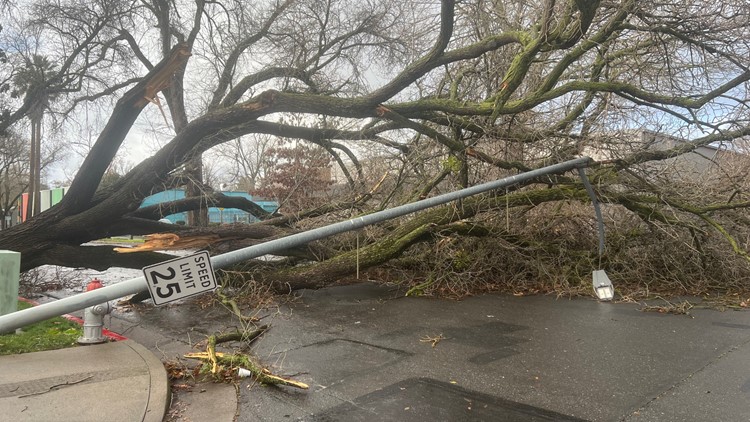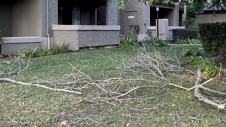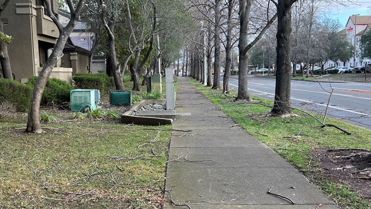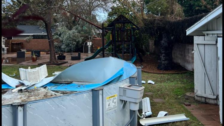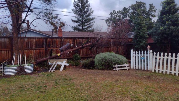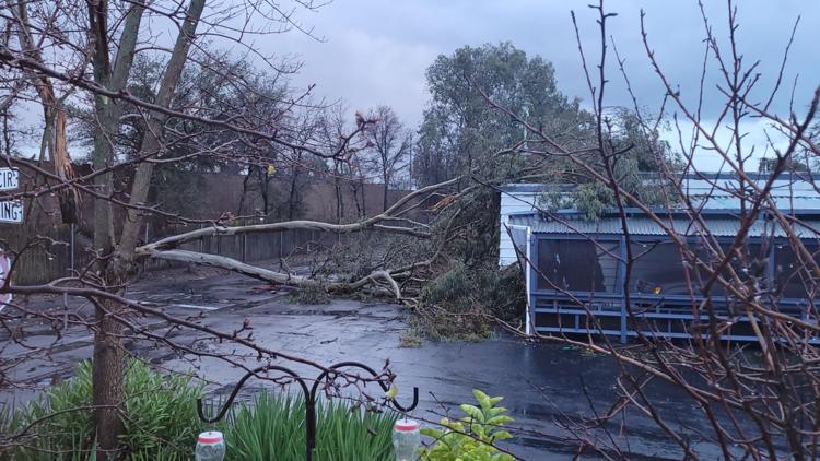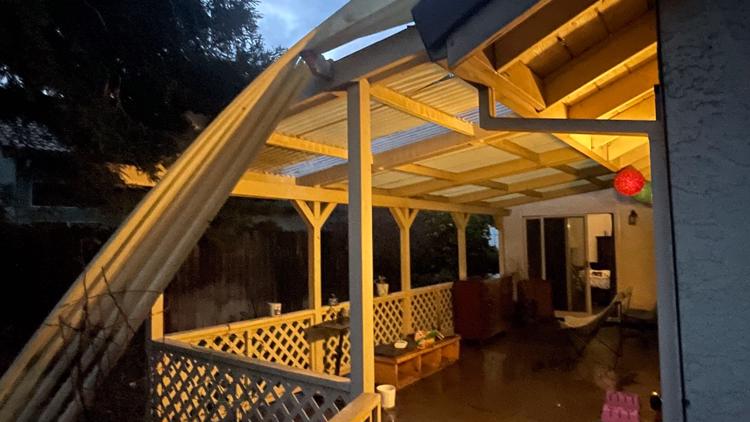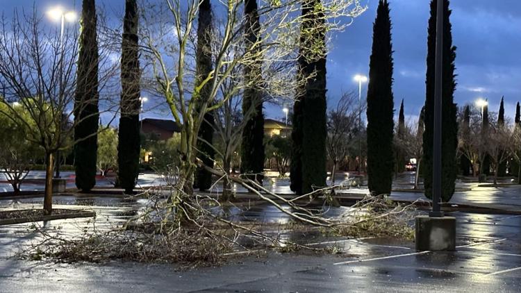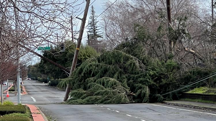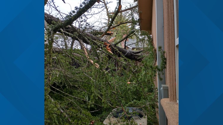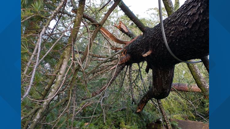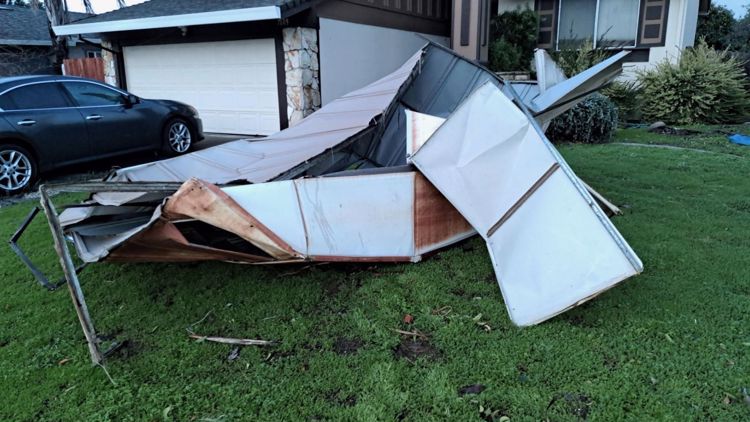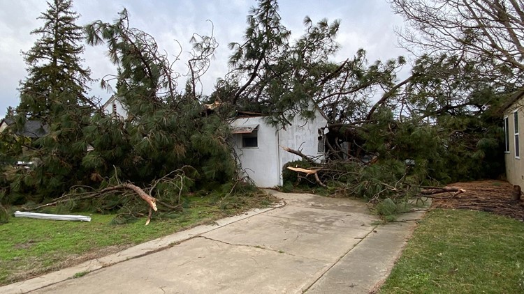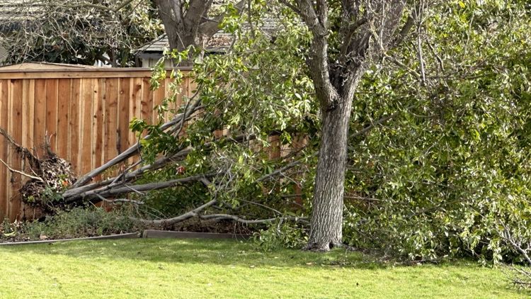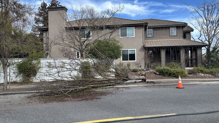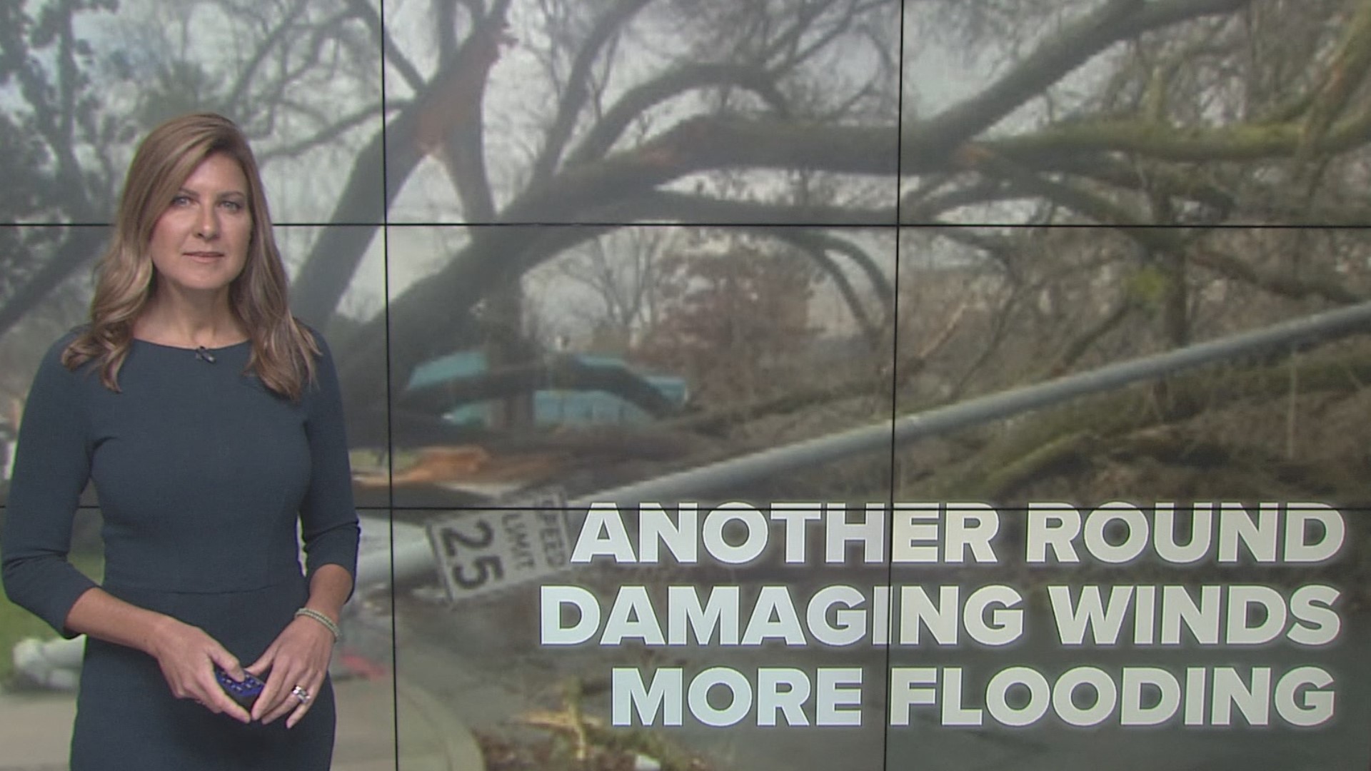
CALIFORNIA, USA — Saturday night's winds brought a significant amount of damage to Northern California. Trees are down everywhere, hundreds of thousands are without power, and another storm is just around the corner.
SUNDAY AFTERNOON
Sunday afternoon will be a pretty tranquil period for the region, which is welcome news and much needed to do some cleaning up of the mess the winds made last night.
Mostly cloudy to overcast skies are to be expected, with perhaps just a few breaks in the clouds to allow some sunshine through. A stray shower or two cannot be entirely ruled out.
Southerly winds will stay light as well, sustained around 10 mph with gusts up to 20 mph, but the quiet doesn't last long.
SUNDAY-MONDAY OVERNIGHT
Similar to Saturday's storm, rain and wind will return after sunset.
The first rain showers arrive after 8 p.m. Sunday. Rain will be generally light until about 11 p.m. or midnight, at which time the heavier rain moves in. Increasing in coverage and intensity, rain will be very heavy by 3 a.m. and continuing into the Monday morning commute.
Winds will also pick up around 8 p.m. Sunday, gradually increasing in strength through the rest of the evening and into the overnight. The strongest wind gusts will likely occur with the heaviest rain, peaking between 3 a.m. through the morning commute.
Wind gusts upwards of 50 mph are likely across the valley. Like the Saturday night winds, these winds will be out of the south. This means any trees and power poles leaning as a result of Saturday's winds will likely come down with the winds Sunday night into Monday morning.
The Wind Advisory over the weekend called for 40-50 mph wind gusts. Obviously, the wind gusts we saw were stronger than that. However, just because this coming storm is bigger does not necessarily mean the winds will be stronger. Still, prepare for more wind gusts over 50 mph with power outages and downed trees.
A High Wind Warning is in effect from midnight Monday until 2 p.m. Monday.
MONDAY MORNING
The Monday morning commute will be very soggy and windy.
Heavy rain and rising snow levels will continue through the morning commute and into the afternoon. Give yourself extra time to get where you need to be. Travel will not be pleasant. If you can work from home, it's probably a smart decision.
Winds will continue to gust over 40 mph through the morning commute, gradually dying down after sunrise, but still gusty through the entirety of the morning.
Snow levels will rise through the morning hours even above pass level, meaning much of the area will be seeing rain. This increases the flood threat for areas downstream in the foothills and valley.
MONDAY AFTERNOON
By the lunchtime and afternoon hours Monday, rain will likely be winding down and skies clearing up a little bit. However, due to the morning rainfall, roads will still be wet and some will likely have some standing water on them.
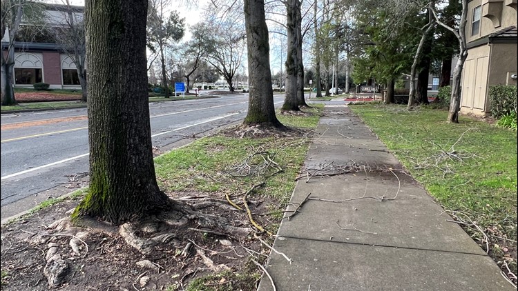
Winds will be dying down but there is likely to be a lot of debris on the road from trees that were blown around overnight. Travel will likely still be difficult, even for the evening commute.
WATCH MORE ON ABC10 | Northern California storm watch: More wind and rain is on the way Sunday and Monday