
OROVILLE, Calif. — Click HERE for the latest on the North Complex Fire, including the North Complex West Zone, formerly known as the Bear Fire.
6:30 p.m. update:
The death toll in the North Complex fires has climbed to 10 after the Butte County Sheriff’s Office confirmed seven more victims were found on Thursday.
The sheriff’s office said it had fielded 124 calls for welfare checks from family members. Of those calls, 98 people were found safe – sixteen people are still unaccounted for, a sheriff’s office spokesperson said.
Cal Fire officials said they are discontinuing the use of the name “Bear Fire” when referring to the fires in Butte, Plumas, and Yuba counties. The fires will now be called simply the North Complex fires, with the Butte County side being referred to specifically as the “North Complex – West Zone”.
The west zone alone stands at 65,295 acres burned. It is 0% contained.
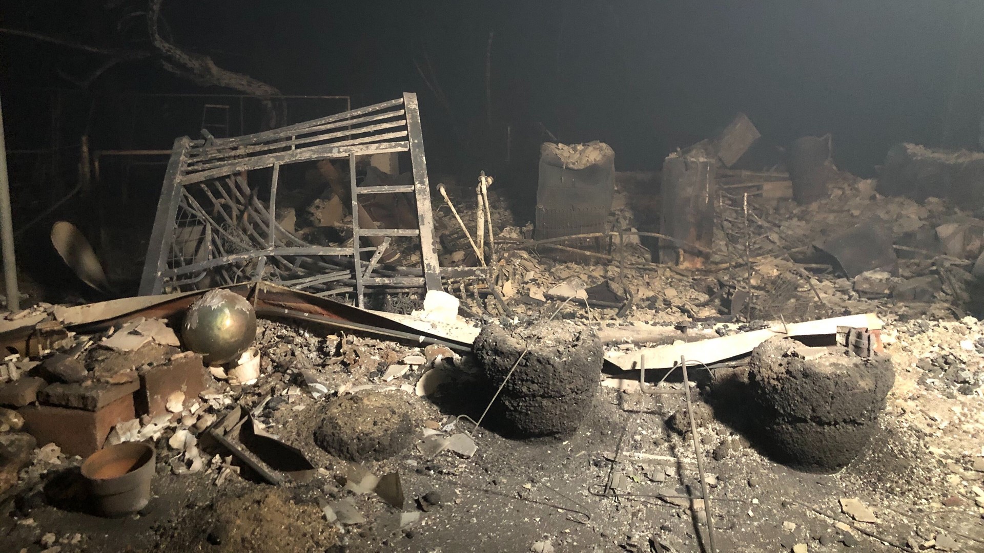
According to Cal Fire, the fire is “effecting infrastructure” in the area of Bloomer Hill and it has crossed the river into the Big Bend area. Approximately 4,200 structures are still under threat from the fire. Another 2,000 structures have been damaged or destroyed, fire officials said.
4:15 p.m. update:
A Cal Fire hand crew was overrun by fire on Wednesday as they battled the blaze in the North Complex West Zone.
When the fire became unpredictable due to dry fuel and wind, the hand crew was caught in the flames. The crew was able to escape with only two minor injuries thanks to the vast training and experience of its members.
The incident is still under review at this time and no other information is available.
3:45 p.m. update:
Cal Fire Butte Unit will host a press briefing at 6:00 p.m. via Facebook Live. The agency will take questions on the Bear Fire and other related matters in the comments section of the live video.
2:45 p.m. update:
Plumas County Sheriff's Office [PCSO] and Office of Emergency Services have issued a document with the most recent and updated information on Bear Fire evacuations and road closures. This document "supersedes all earlier posts" on evacuations and closures, PCSO says.
Mandatory evacuations have been issued for La Porte and Bucks Lake areas. Several areas are under evacuation warnings. There is no Plumas County designated shelter for evacuees at this time.
1:45 p.m. update:
Firefighters battling the Bear Fire (North Complex West Zone) are focusing on areas close to Berry Creek, Bush Creek and Feather Falls, Cal Fire said in a conversation with ABC10. These areas were heavily damaged throughout the day and overnight.
As the flames move closer to the city of Oroville, Cal Fire is also focused on keeping residents and evacuees safe.
According to Cal Fire, some challenges that firefighters are facing right now include severe weather in the form of continued dry winds. Winds have moderated, which is allowing for more aggressive firefighting, but heavy smoke is hampering the use of aircraft.
This is an issue, as another hurdle arises in the terrain of the area. The mountainous region can make it difficult for hand crews to access the fire on foot, necessitating the use of aircraft. There is steep terrain, and as the blaze moves downhill, it moves more quickly.
The amount of fuels in the area, such as downed trees and brush have also made it difficult to keep the blaze under control.
Cal Fire says these are all concerns that they are monitoring and working on to find the best method for combating the ever-growing North Complex Fire.
12:30 p.m. update:
Just off the highway in Berry Creek, one of the areas most affected by the wildfire, flames can be seen leaping into the road. Heavy smoke clouds the air.
Monica Coleman reports from Highway 162, as flames could very well jump the highway before the end of the day.
11:30 a.m. update:
Though the Bidwell Bridge in Oroville is still standing, it is engulfed in a cloud of smoke. As air quality in the Sacramento regional's takes a turn for the worse, the air right near the fires is nothing but ash.
Lena Howland shares photos as she surveys some of the devastation left behind from the Bear Fire.
10:00 a.m. update:
The California Interagency Incident Management, which has up until now been the lead command on the Bear Fire incident, has announced that it now has unified command with Cal Fire Team 4.
"Basically what that means is we are collaborating together, working, coordinating together now, just because this incident is so large," said Operations Section Chief, Jake Cagle.
Cal Fire is focusing on the west zone of North Complex Fire, including the Bear Fire. Cal Fire has also announced that the Bear Fire will now be referred to as the North Complex West Zone, as the fire is a part of the much larger North Complex Fire.
This fire has reached 70,250 acres with zero containment. The total acreage of the North Complex Fire is 247,358 with 23 percent containment, solidifying it as one of the largest in California's history.
Original story:
One day after the weather gave firefighters a bit of a break on the Bear Fire, more wind could complicate their efforts on Thursday.
Three people have died in the Bear Fire, according to Butte County Sheriff Kory Honea. Of the three dead, Honea said two people were found in one location together while the third was found in a different location. No victims have been identified at this time.
The Sheriff's Office is asking people to mark themselves as safe and well, as deputies continue to investigate reports of missing people.
Officials said 2,000 structures were damaged or destroyed in the fire perimeter of Butte County. They're still working to determine how many of each were damaged and destroyed.
In the southern half of the fire, 23,356 structures are threatened, and in the Quincy area, there's about 3,125 structures threatened.
Butte County Sheriff's map of evacuation sites:
The Bear Fire is part of the larger North Complex of fires burning in Butte County, Yuba County and Plumas County. The U.S. Forest Service reports it has burned 252,163 acres and is 24% contained.
Shane Lauderdale, an Operation Sections Chief with Cal Fire, said the fire is now east of Kelly Ridge, but it has not crossed the drainage. Crews are working on structural protection in Feather Falls, Big Bend, and Berrycreek areas.
In a post Wednesday night, the U.S. Frest Service said, "winds are predicted to shift to the southwest tomorrow which could produce increased fire behavior and smoke. "
► GET THE LATEST DEVELOPMENTS: Get California wildfire news updates in your email with the Daily Blend newsletter. Sign up at www.abc10.com/email
Evacuations
Evacuations warnings and orders have impacted about 20,000 Butte County residents.
Officials said 90 families are being sheltered in the county and surrounding counties, some as far as Sacramento. 40 families are still waiting for hotels.
Temporary Evacuation Point
- Gridley Fairground at 199 E. Hazel Street in Gridley
- People are asking to stay in their cars as representative from Butte County and American Red Cross help them with more information and sheltering needs.
Large Animal Shelter: Camelot Equestrian Park
- Camelot Equestrian Park, 1985 Clark Road, Paradise
Camelot will not be accepting animals between the hours of 8pm and 7:30am.
Small Animal Shelter: Old County Hospital
- Old County Hospital, 2279 Del Oro and Mono Ste E, Oroville
The shelter is currently at capacity and can't take additional animals at this time. The animal sheltering hotline is 530-895-0000.
More information on evacuations can be found HERE.
Maps
National Interagency Fire Center live map of the fire's location (it might take a few seconds for the fires to show up on the map):