
EL DORADO COUNTY, Calif. — Two evacuation notices have been upgraded to mandatory evacuation orders in El Dorado County as the so-called Caldor Fire continues to grow dangerously out of control.
The El Dorado County Sheriff’s Office said it has begun notifying residents in the communities of Leonie Meadows and Big Mountain areas.
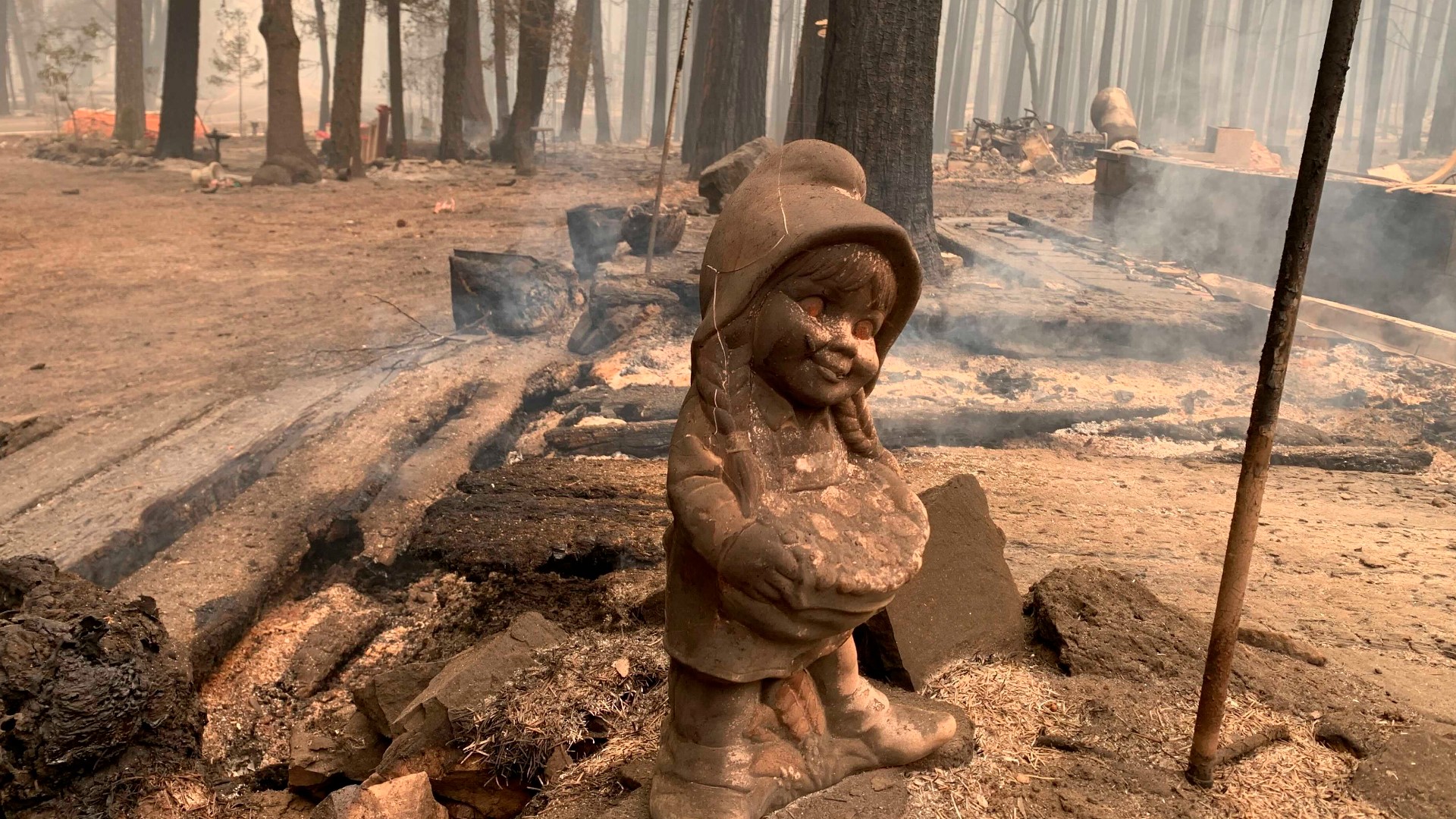
The Caldor Fire started on Saturday two miles east of Omo Ranch and four miles south of the community of Grizzly Flats in El Dorado County. On that day it grew to 45 acres, but since then it has ballooned to approximately 2,261 acres with no reported containment, according to Cal Fire. The fire nearly quadrupled in size on Monday.
According to Cal Fire, the blaze made aggressive runs as a spot fire on Big Mountain Ridge added to the increase in acreage while it burned to the east. Crews also dealt with long-range spotting.
Crews are working on indirect control lines and are planning for contingency line construction north of the fire.
"This is a rapidly changing incident with dynamic fire behavior," Cal Fire said in their incident update.
Click here for Tuesday's updates.
Mandatory Evacuations
- Dogtown Creek South of Caldor Road
- Barney Ridge east of Omo Ranch road
- Omo Ranch Road to North South Road
- Caldor area including North South Road
- Pi’Pi Valley up to Armstrong Hill
- Grizzly Flats/Somerset area including all road off of Grizzly Flat Road, east of Mt. Aukum Road in Somerset into Grizzly Flats Proper.
- Happy Valley, including all roads off of Happy Valley Road, east of Mt. Aukum Road in Somerset to Sciaroni.
Evacuation Warnings
- Henry Diggins off Caldor Road
Evacuation Shelters
- The Fireman’s Hall – 3734 China Garden Road, Diamond Springs, Calif.
(For small animal shelter needs, contact the El Dorado County Animal Services at 530-621-5795)
Accounts to follow
Wildfire maps
WILDFIRE PREPS
According to Cal Fire, 2020 was one of the most severe fire seasons on record as 9,917 wildfires burned 4.2 million acres. Over 9,000 structures were destroyed, and 31 people (civilians and firefighters) were killed.
California also experienced its first "Gigafire" because of the August Complex Fire, burning over 1 million acres by itself. Four of California's top five largest wildfires in state history happened in 2020.
If you live in a wildfire-prone zone, Cal Fire suggests creating a defensible space around your home. Defensible space is an area around a building in which vegetation and other debris are completely cleared. At least 100 feet is recommended.
The Department of Homeland Security suggests assembling an emergency kit that has important documents, N95 respirator masks, supplies to grab with you if you’re forced to leave at a moment’s notice. The agency also suggests signing up for local warning system notifications and know your community’s evacuation plans best to prepare yourself and your family in cases of wildfires.
Some counties use Nixle alerts to update residents on severe weather, wildfires, and other news. To sign up, visit www.nixle.com or text your zip code to 888777 to start receiving alerts.
PG&E customers can also subscribe to alerts via text, email, or phone call. If you're a PG&E customer, visit the Profile & Alerts section of your account to register.


