
SOUTH LAKE TAHOE, Calif. — Saturday's updates can be found HERE.
Below are updates from Friday.
----------------------------------------
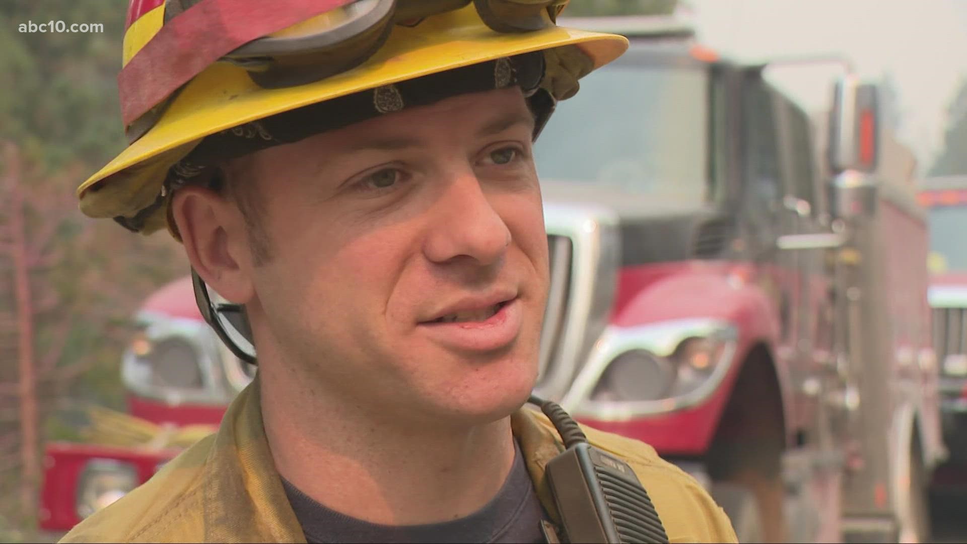
Officials say better weather has slow the growth of the Caldor Fire that has been threatening the Lake Tahoe resort region.
Fire commanders expressed cautious optimism Friday morning about their ability to prevent it from destroying homes in and around the city of South Lake Tahoe. But they urged firefighters to continue taking advantage of the calmer weather.
The Caldor Fire remains only a few miles from South Lake Tahoe, which was emptied of 22,000 residents days ago, along with casinos and shops across the state line in Nevada. Friday afternoon, Cal Fire announced more downgrades to evacuations in El Dorado County. Officials say the timeline for repopulating those areas remains uncertain.
Also on Friday afternoon, it was announced three miles of the eastbound Highway 50 closure is back open.
However, the fire danger continues because of extremely dry weather Friday and a warming trend expected over the weekend.
Alarmingly, evacuees who have fled to Nevada have reported incidences of price gouging. While California prohibits exorbitant price increases during emergencies, a ban that Nevada lawmakers passed this year doesn't take effect until October 2021. Evacuees are reporting rideshare companies quoting trips from area ski resorts to the Reno-Tahoe International Airport at eight times the normal rate and hotels on the Nevada side of the resort town hiked room rates to nearly $450 per night.
According to the latest figures from Cal Fire, the Caldor Fire has burned 213,270 acres and is 32% contained, as of 7 p.m. on Sept. 3. It has destroyed more than 700 structures including 683 homes. Nearly 32,000 structures remain in the threat area. The cause of the fire has not yet been determined.


According to Cal Fire's evening report, low winds helped keep fire behavior low throughout Friday, with little growth in the south, west and northwest areas of the fire.
"Tonight, overnight humidity recovery should decrease fire activity, facilitating direct attack where safe. Damage inspections are still underway with approximately 75% of structures assessed," Friday evening's report says.
The Caldor Fire is named after the road where it started on Aug. 14 near the community of Grizzly Flats. That is about 35 miles from Lake Tahoe.
Here are additional updates from Friday that you might have missed:
Evacuations and Road Closures
Click HERE for in-depth evacuation orders and warnings in El Dorado County. For evacuation orders and warnings in Amador County, click HERE for the Amador County Sheriff's Facebook page and HERE for their website. For current state highway/route information visit roads.dot.ca.gov.
Evacuation centers
El Dorado County Shelters
- Green Valley Community Church, Placerville
- Cameron Park CSD, Cameron Park
- Rolling Hills Church, El Dorado Hills
Nevada County Shelter
- Truckee Veterans Hall, 10214 High St, Truckee
Amador County
- Temporary Evacuation Point Italian Picnic Grounds, Sutter Creek
Nevada state shelters
- Reno/Sparks Convention Center at 4590 S. Virginia Street, Reno
- Douglas County Community Center, Gardnerville - Douglas County residents only
- Reno Sparks Convention Center
- RV Dry Camping and Large Animals, Dayton Event Center/Rodeo Grounds
- Lyon County Fair Grounds, Yerington
Animal Evacuation Centers:
- El Dorado County Animal Services (small animals), Diamond Springs. For animal evacuation questions or assistance call (530) 621-5795
- Saureel Vineyards (large animals), Placerville - FULL
- Amador County Fairgrounds (large animal)- for Amador County residents only, Plymouth
- Reno Sparks Convention Center Reno - Limited crates and space available for pets.
- Lyon County Fair Grounds, Yerington
- Dayton Event Center/Rodeo Grounds – Dry Camping Only, Dayton
- Douglas County Fairgrounds, Gardnerville
Accounts to follow
Evacuation Maps
A map of evacuations from the El Dorado County Sheriff's Office is available below.
An evacuation map from the Amador County Sheriff's Office can be viewed HERE.
A map of evacuations in Alpine County is available HERE.
Online Structure Damage Map
An online structure damage map is available by clicking HERE or viewing below. To locate your home, type in the address in the top left corner. If you don't see an icon, the structure has not yet been identified.
Wildfire map
Click here for a map of the Caldor Fire.
►Stay in the know! Sign up now for the Daily Blend Newsletter
Wildfire Preps
If you live in a wildfire-prone zone, Cal Fire suggests creating a defensible space around your home. Defensible space is an area around a building in which vegetation and other debris are completely cleared. At least 100 feet is recommended.
The Department of Homeland Security suggests assembling an emergency kit that has important documents, N95 respirator masks, supplies to grab with you if you’re forced to leave at a moment’s notice. The agency also suggests signing up for local warning system notifications and know your community’s evacuation plans best to prepare yourself and your family in cases of wildfires.
Some counties use Nixle alerts to update residents on severe weather, wildfires, and other news. To sign up, visit www.nixle.com or text your zip code to 888777 to start receiving alerts.
PG&E customers can also subscribe to alerts via text, email, or phone call. If you're a PG&E customer, visit the Profile & Alerts section of your account to register.
Read more from ABC10
WATCH ALSO: Bear strolling around South Lake Tahoe area Caldor Fire evacuations | California Wildfires