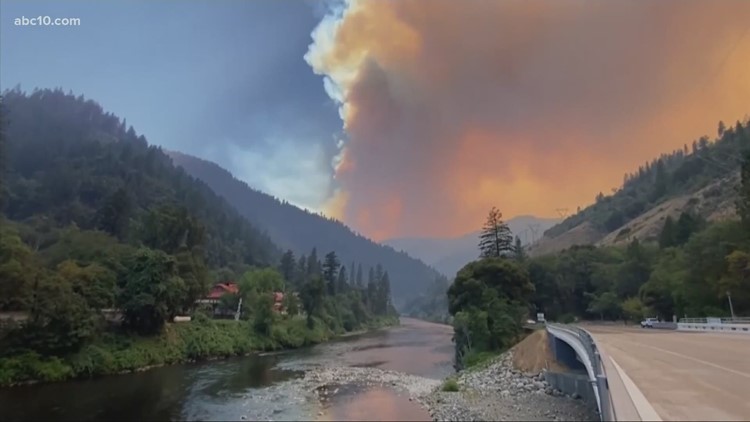
OROVILLE, Calif. — New evacuation orders were issued Wednesday morning as the Dixie Fire burning in Butte and Plumas counties has scorched more than 91,000 acres of land, according to Cal Fire.
The latest report on the fire shows it has burned 91,268 acres and is still just 15% contained.
Wednesday morning, Cal Fire said the fire had "remained active overnight with active surface fire, uphill runs and tree torching with long-range spotting."
Fire officials say the Dixie Fire is expected to continue moving in a northeast direction and had the potential to expand to another three miles of growth on Wednesday.
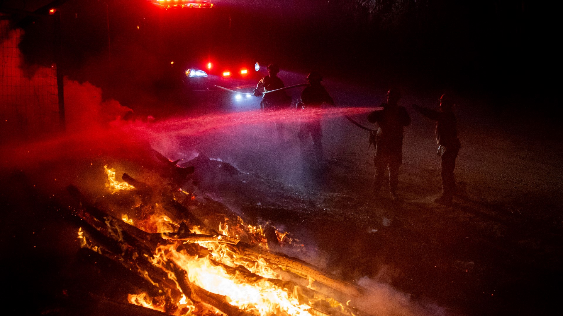
Crews were mainly focused on protecting homes and businesses in the overnight hours, but also managed to strengthen fire lines, Cal Fire said.
In a Wednesday night update, Cal Fire said the fire continues to head more north and is more contained. Cal Fire said it will employ a Damage Inspection Team to assess the fire damage to the affected areas. Eight structures have been destroyed in the fire and 1,500 are threatened.
Cal Fire said it cannot specify if the damage is residential or involve structures but the data related to the fire will be submitted to Plumas County.
Plumas County
Evacuation Order:
- Westshore of Lake Almanor
- From the Canyon Dam northwest to Hwy 36 at Hwy 89. This includes the community Prattville, Big Meadows and Lake Almanor West along with the Rocky Point Campground and the Canyon Dam Boat Launch
- High Lake (Plumas County)
- Recreational area of Plumas County east of the Butte/Plumas County line
- Plumas/Butte County line east to Twain
- Includes both sides of Hwy 70 in the areas of Rock Creek, Storrie, Tobin, Belden, Caribou Rich Bar, and Twain
- Meadow Valley and Bucks Lake
- Bucks Lake Road at Riverdance and everything west to the Butte/Plumas County line. This includes Snake Lake, Meadow Valley, Tollgate, Bucks Lake, Bucks Lake Highlands, and all surrounding areas.
- Caribou Rd north to the Humbug Rd and Humboldt Rd intersection
- This includes Belden Reservoir and Butt Valley Reservoir
- Prattville Butt Reservoir and everything west to the Butte/Plumas county line
- The community of Seneca south Hwy 70
Evacuation Warnings:
- Butterfly Valley Area
- Evacuation warning for the community of Butterfly Valley. This includes Feather River Hot Springs east on SR70 to Barlow Road, southwest to Oroville-Quincy Highway, west to Snake Lake Rd, North to Feather River Hot Springs.
- Round Valley Reservoir and Long Valley
- Evacuation warning for the community Round Valley Reservoir and Long Valley. This includes SR 89 near Clear Creek to the SR70, south to SR70 at the Feather River, east along SR70 to the intersection of SR89, north of SR89 to Dixie Creek, north to Seltzer Rd.
- Chester and Lake Almanor Peninsula
- Including greater Chester area, Hamilton Branch, Lake Almanor Peninsula, and East Shore.
- Everything west of Hwy 89 between Canyon Dam and Hwy 36, west to the County line
Butte County
Evacuation Order:
- For the communities of Jonesville, Philbrook, and all High Lakes areas within Butte County.
Evacuation Warning:
- Area to include the Tehama County Line East to Old Loma Road
- Carpenter Ridge East to Skyway
- Skyway North from Humbug Summit line to Butte Creek
- All the Fish Creek area within Lassen National Forest area road
- Pulga and Philbrook Areas East of the West branch of the Feather River
- West of SR70 North of Magalia
- Intersection of SR70 at Pulga Rd, and South of the Plumas County Line.
- Butte Meadows and Inskip areas
Accounts to follow:
Evacuation map
Wildfire map
WILDFIRE PREPS
According to Cal Fire, 2020 was one of the most severe fire seasons on record as 9,917 wildfires burned 4.2 million acres. Over 9,000 structures were destroyed, and 31 people (civilians and firefighters) were killed.
California also experienced its first "Gigafire" because of the August Complex Fire, burning over 1 million acres by itself. Four of California's top five largest wildfires in state history happened in 2020.
If you live in a wildfire-prone zone, Cal Fire suggests creating a defensible space around your home. Defensible space is an area around a building in which vegetation and other debris are completely cleared. At least 100 feet is recommended.
The Department of Homeland Security suggests assembling an emergency kit that has important documents, N95 respirator masks, supplies to grab with you if you’re forced to leave at a moment’s notice. The agency also suggests signing up for local warning system notifications and know your community’s evacuation plans best to prepare yourself and your family in cases of wildfires.
Some counties use Nixle alerts to update residents on severe weather, wildfires, and other news. To sign up, visit www.nixle.com or text your zip code to 888777 to start receiving alerts.
PG&E customers can also subscribe to alerts via text, email, or phone call. If you're a PG&E customer, visit the Profile & Alerts section of your account to register.