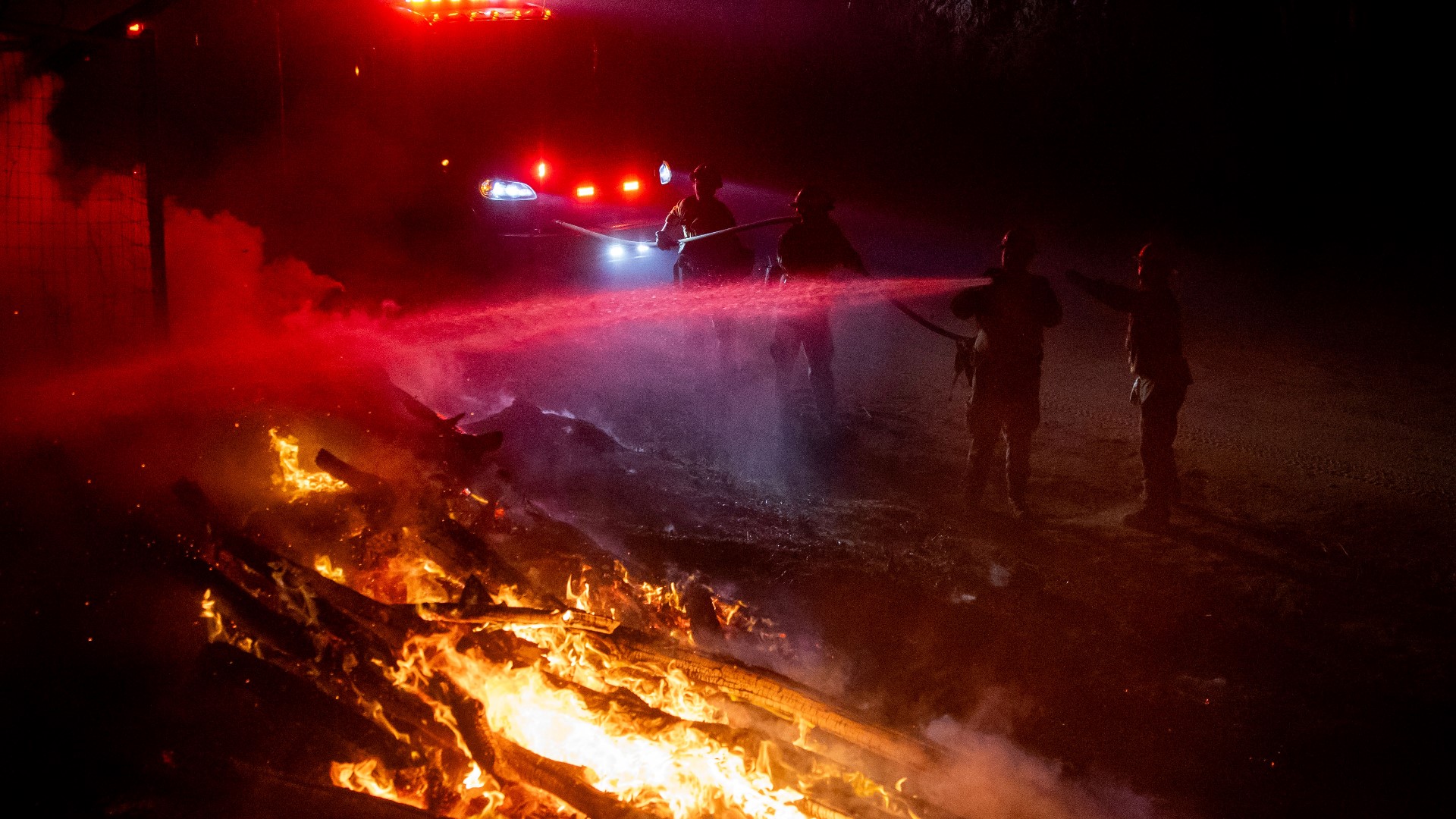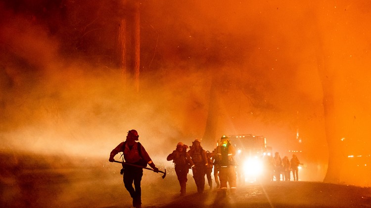
SACRAMENTO, Calif — The wildfire season is winding down and California was relatively lucky in terms of fire impacts, but the last few years have proven wildfires will continue to increase as climate change worsens and forests lie overgrown.
With eight of the ten largest and deadliest fires occurring in the past 5 years, authorities, governments and researchers are scrambling for solutions to this crisis.
The Gigafire Project, led by Jonathan Greenberg and Erin Hanan in the University of Nevada, Reno's College of Agriculture, Biotechnology & Natural Resources, is technically three projects in conjunction with CalFire and the California Air Resources board. The name stems from the term "giga fire," referring to a fire that reaches over 1 million acres, which happened for the first time in 2020 with the August fire complex.
The overarching goal of the project is "trying to map out the spatial distribution of fuels that contribute to the increasingly catastrophic wildland fires, and as well as looking at the impacts of fuel treatments on future conditions of both the fuels themselves, but also on carbon sequestration and water quality as well," according to Greenberg.
RELATED: Sacramento Weather Forecast
The mapping of fuels is incredibly beneficial to finding exactly where the most overgrown, fire-prone areas are. This work used to be done manually by fire crews on the ground and was expensive, back-breaking work.
Advanced technologies are aiding in their goal of mapping the fuels of the entire state of California.
"The project actually is a combination of advanced modeling, remote sensing, part of which will be LIDAR based, but also part of it will be based on satellite imagery," said Greenberg. "We're kind of pulling together a lot of different pieces of information as well as sort of algorithms together to sort of understand these very complicated systems."
The data collected will assist land managers in making decisions on where to do different types of fuel treatments. Treatments involve thinning trees, getting rid of ladder fuels and conducting controlled burns.
"Land managers will have better choices of where to locate these fuel treatments, can save time and effort and ultimately, hopefully can help contribute to reducing the sort of severity of wildfires and in a rapidly changing climate," said Greenberg.
WATCH ALSO: