LASSEN COUNTY, Calif. — Update 8:41:
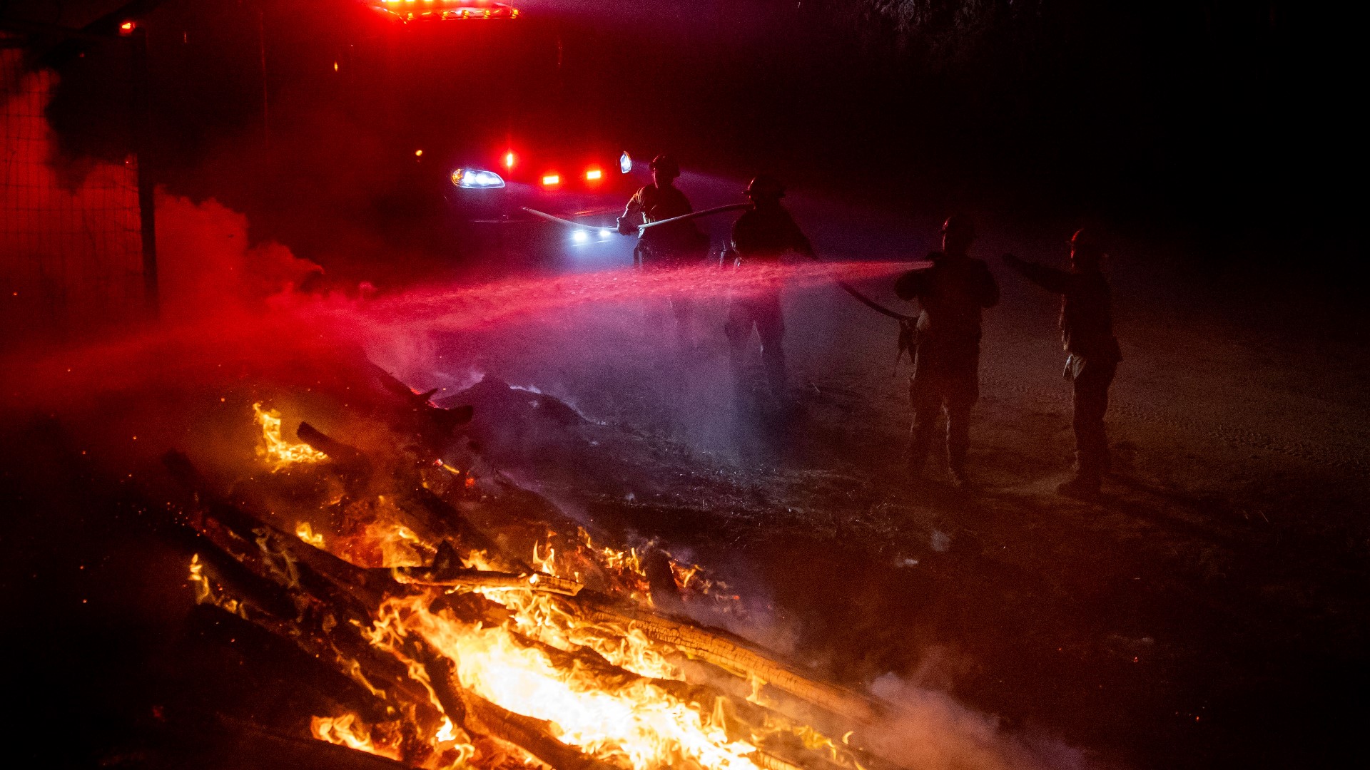
Cal Fire officials said the Gold Fire intensified on Thursday afternoon. Homes, ranches and agriculture operations are threatened by the wildfire, officials said.
The Gold Fire is now 35% contained and covers about 14,700 acres.
Officials said the Willow Creek Campground is now in the pathway of the fire.
Update 7:18 p.m.:
Mandatory evacuation orders for the Lake Forest Estates have been downgraded to a warning to evacuate, according to Cal Fire officials.
Officials said the road will be closed at County Road A-1, which is north of the water tanks. Officials said the mandatory evacuation could take effect again due to the ever-changing nature of the wildfire.
Original story:
Evacuation orders remain in place for two fires burn in Lassen County – the Gold and Hog Fires burning on opposite ends of the county.
The Gold Fire burning the north is now the largest fire in the county. According to the latest numbers from CAL FIRE, it has burned approximately 14,500 acres of land and is about 15% contained.
Evacuation orders have been given to all residents living along Highway 139 from Susanville Road south to Termo Grasshopper Road, according to CAL FIRE.
Evacuation warnings have been issued for those living in the following areas:
- Ash Valley Road at US-395 west to Spooner Road, south on Spooner Road to Highway 139 and east on Highway 139 to Termo Grasshopper Road to US-395
- Areas west of Highway 139 from Terom Grasshopper Road south Gleghorn Road and east of Slate Creek Road
- Area south Susanville Road from Highway 139 west to US Forest Service Road 54/McClelland Road and north of Hayden Hill Road
Road closures associated with the Gold Fire include Highway 139 at Susanville Road south to Termo Grasshopper. There is also a “hard closure” of Butte Creek Road, CAL FIRE officials said.
Officials reported two firefighters were injured on Tuesday while battling this blaze. Their conditions have not been released.
In the south, the Hog Fire continues to burn just to the west of Susanville, Calif., though firefighters have had more luck getting it under control.
The Hog Fire has burned just more than 9,500 acres of land and is 26% contained as of Thursday morning, officials said. The fire only increased in acreage burned by less than 100 acres in the last 24 hours.
Mandatory evacuation orders are still in place for residents living in the areas of Lake Forest Estates and for those living in areas both north and south of Highway 36, from A-1 to Willard Creek Road.
The following road closures related to the Hog Fire include Highway 44 from the Highway 36 and 44 juncture to A-21; Highway 36 from Highway 44 and 36 juncture to Westwood; and County Road A-1 is closed from Gallatin Road Highway 36.
An evacuation center remains open for evacuees of both fires at Lassen Community College in Susanville, Calif.
Read more from ABC10
FOR NEWS IN YOUR COMMUNITY, DOWNLOAD OUR APP:


►Stay in the know! Sign up now for the Daily Blend Newsletter