
BUTTE COUNTY, Calif. — 2:30 p.m. update:
Plumas County Sheriff's Office has updated information of fire evacuations. The La Porte community is still under an advisory, but has been opened to residents only.
1:00 p.m. update:
Butte County Sheriff's Office has downgraded a mandatory evacuation order for the area of Stephens Ridge Road to a warning. Only residents with proof of residency will be allowed to enter the area in the next 24 hours.
Plumas National Forest provided some clarification on North Complex fire maps, acknowledging that while the flames are getting close to Highway 70 in the northwest, fire crews are monitoring the situation closely.
"We currently have fire resources, operations chiefs, local fire resources and Cal Fire resources working on Highway 70," Plumas National Forest said in a Facebook post. "There is an area of the fire that has reached Highway 70 but there is no known spot fire or area of the fire that has crossed Highway 70."
The forest service says that the photo below, which is the source of many concerns, shows heat signatures captured via satellite. These types of maps can be inaccurate, Plumas National Forest says, due to the way the signatures are mapped.
In the meantime, crews and aircraft are continuing to monitor the western side of Highway 70 for any spot fires where the fire may have crossed the highway.
10:45 a.m. update:
An evacuation warning has been lifted for the areas on both sides of Oro-Quincy Highway from Whispering Chapel Lane north to Seminole Drive, the area east of Oro-Quincy Highway from Seminole Drive north to the Butte County Line, and the area of Broken Springs Road south of Ponderosa Reservoir.
However, the area west of Oro-Quincy Highway from Seminole Drive to the Butte County line will remain closed an under an evacuation order.
Original story:
Cal Fire Butte Unit had some positive news on Tuesday morning for the North Complex West Zone, which now stands at 84,585 acres and 95 percent containment
In what will likely be the last incident update on the West Zone until 100 percent containment, Cal Fire reported that there is "no expectation that fire will spread beyond its current boundary."
For many residents and firefighters alike, who have been awaiting this type of news since the fire began on Aug. 17, the report could not come soon enough.
On Monday, all evacuation warnings and orders in Yuba County were lifted. Some evacuation warnings and orders in Butte County were also lifted or downgraded, however, some continue to remain in place for the safety of residents.
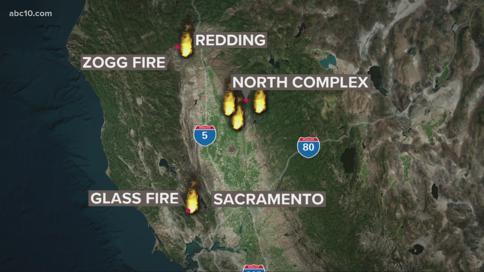
The North Complex West Zone has resulted in 15 deaths, two first responder injuries, 2,342 structures destroyed and 113 damaged. The North Complex incident, which is reportedly at 308,995 acres and 76 percent containment, ravaged parts of Butte, Plumas, and Yuba County.
Plumas National Forest, which has largely focused on the northern and southern parts of the North Complex, says calmer winds will help aid the firefight and will particularly allow the use of helicopters and other aircraft. The National Forest Service also says that the reduction in total containment from 78% to 76 % is a "result of the growing uncontained fireline in the Highway 70 corridor" and not from losing previous containment lines in other areas.
MAP
WILDFIRE PREPS
According to Cal Fire, in 2019, California wildfires burned just under 260,000 acres from 7,860 incidents. Over 700 structures were damaged or destroyed and three people were killed. This followed two years of some of the “deadliest and most destructive wildfires” in California history.
If you live in a wildfire-prone zone, Cal Fire suggests creating a defensible space around your home. Defensible space is an area around a building in which vegetation and other debris are completely cleared. At least 100 feet is recommended.
The Department of Homeland Security suggests assembling an emergency kit that has important documents, N95 respirator masks, supplies to grab with you if you’re forced to leave at a moment’s notice. The agency also suggests signing up for local warning system notifications and know your community’s evacuation plans to best prepare yourself and your family in cases of wildfires.