
If viewing on the ABC10 app, click here for multimedia
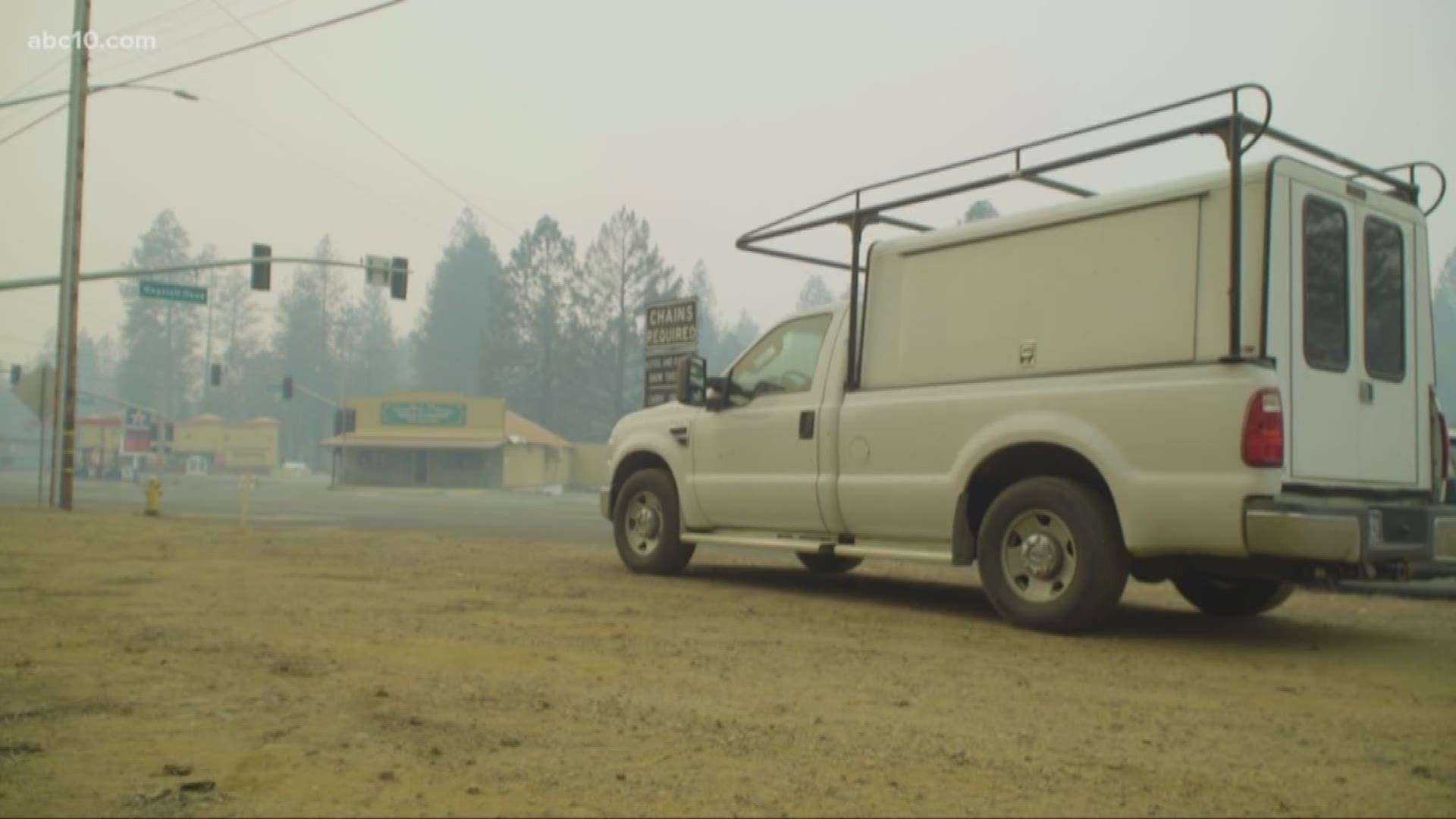
The Camp Fire started near Pulga Road at Camp Creek Road near Jarbo Gap at about 6:30 a.m. Thursday, Nov. 8, 2018. It has since burned more than 130,000 acres and killed 48 people, according to CAL FIRE.
The Butte County Sheriff's Office is posting the latest evacuation information on Twitter. Click HERE.
The latest CAL Fire map is viewable HERE:
Click HERE for the latest fire information from CAL Fire.
Here's a look at the latest map and resource information from the California Office of Emergency Services. (This map might take a few seconds to load.)
Here are the latest road closures and traffic conditions through from Waze:
Get a lot of this in one map with Google's latest crisis map:
Watch now... Episode 3 "The Art of Fire" | Jeff Frost is a time-lapse, wildfire photographer. He documents the progression of fire with his camera and creates high speed films.