
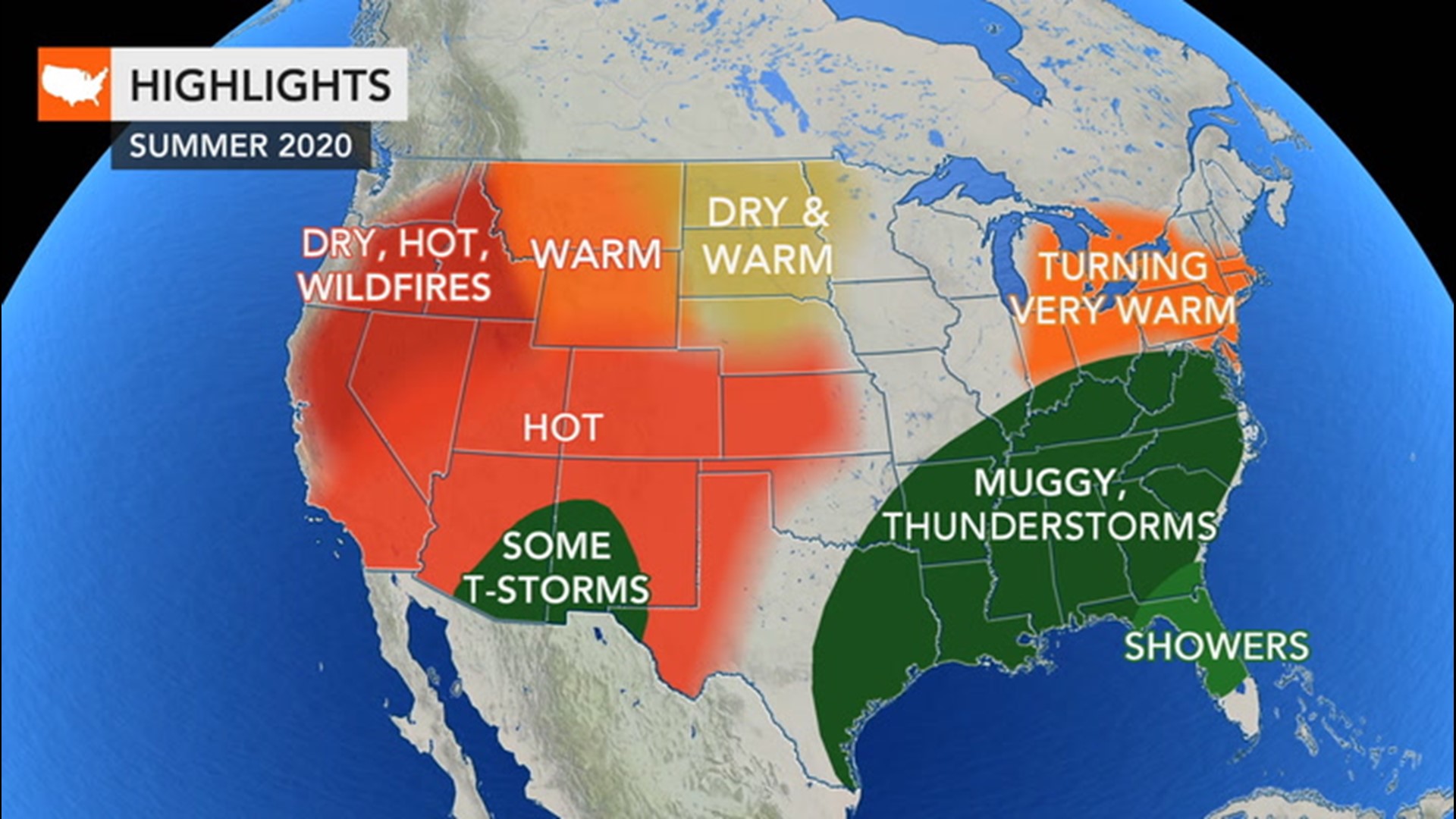
As summer activities ramp up into full swing, Father's Day can be synonymous with outdoor activities like a trip to the lake, grilling outside, camping, or maybe just some work around the house.
With any plans you may have for celebrating dads, be sure to know what kind of weather to expect. Here's a region-by-region breakdown to best plan your day.
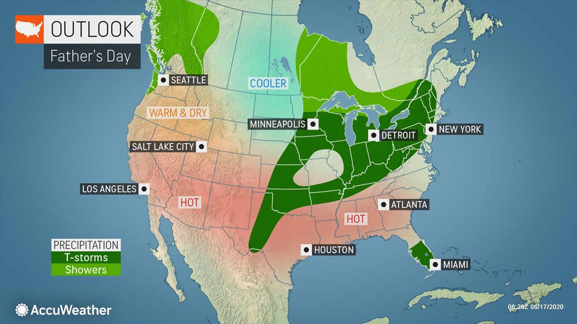
The summer solstice takes place this weekend and the air will have a very summerlike feel to it across the Northeast. Widespread temperatures in the 80s F along with the chance for showers and thunderstorms, primarily in the afternoon, are in the forecast.

This threat for wet weather will be sparked by a pesky slow-moving storm system that has plagued portions of the Carolinas and Virginia with heavy rain in recent days. Into this weekend, the storm system will slowly begin to lift northward, expanding the threat for wet weather across a wider swath of the Northeast.
Because of the recent stretch of dry weather, the rain will be beneficial across the region, but unfortunately it will come at a time when many people are looking to head outdoors.
While a good portion of the Northeast could face the threat for wet weather, showers and thunderstorms should remain rather scattered in nature, meaning not everyone will have to deal with adverse conditions. One area across the Northeast that could feature a higher likelihood of drier conditions will be across portions of coastal and northern New England.
While cities along the Interstate-95 corridor from Washington, D.C., to New York City may face the threat of a shower or storm, places farther north like Boston and Bangor, Maine, may be able to get away with dry conditions through the day.
Portions of the Southeast have also had to deal with the pesky slow-moving storm system over the Carolinas this week, but Mother Nature may cut some of the fathers a break this Sunday.
An area of high pressure that is expected to settle along the Gulf coast will act to suppress the typical daytime heating shower and thunderstorm activity typically seen during a summer's day across the Southeast and Deep South. As a result of the location of the high pressure, areas along the Gulf coast from the Big Bend of Florida, westward to New Orleans should feature seasonably hot and dry conditions.
Dy conditions will extend northward beyond the Gulf Coast as well. Many major southern metropolitan areas including Atlanta and Augusta, Georgia; Birmingham, Montgomery and Tuscaloosa, Alabama, and even Jackson, Mississippi, are expected to remain dry.
One area across the Southeast that may not feature dry weather will be across South Florida. A southeasterly breeze may keep the Atlantic Coast waters a little choppy for anyone looking to take the boat out on Sunday, and that same wind flow may spark showers and thunderstorms in places like Miami, Marco Island and Fort Myers.
Unfortunately for those looking to head outdoors this Sunday across portions of the Midwest, rain gear or a secondary plan of action may be needed due to the threat of wet weather. A storm system that is expected to sweep through the region could spark locally strong-to-severe thunderstorms across the western Great Lakes during the day.
Along an advancing cold front, shower and thunderstorm activity could stretch southward into the Ohio Valley and portions of the mid-South as well. While shower and thunderstorm coverage isn't expected to be widespread, it may be wise to at least plan for the possibility of wet weather popping up. These conditions could be realized in places like Indianapolis and Louisville.
Areas of showers and potentially strong thunderstorms could extend westward into portions of the central and southern Plains as well. Across the Plains, the threat for wet weather will increase during the peak heating hours during the afternoon.
Yet another disturbance tracking inland from the Pacific Ocean may lead to increased cloud cover along with the chance for showers in places like Seattle and Portland on Sunday. It is possible a few showers sneak to the east of the Cascades, but the bulk of the wet weather will reside west of the mountains.
A large ridge of high pressure will encompass much of the Great Basin, California and the Southwest, promoting dry conditions. With wildfires ongoing across the Southwest, unchanging conditions across the region through the remainder of this week into this weekend could continue to keep that threat in place.
Many locales within the San Joaquin Valley and the Desert Southwest can expect triple-digit heat this weekend. Fresno, California; Las Vegas and Phoenix, among many other cities will likely climb past 100 degrees Fahrenheit.