
SACRAMENTO, Calif. — California hit a major milestone Wednesday as the statewide snowpack surpassed the April 1 average over a whopping two and a half months ahead of schedule due to an incredibly wet period.
The April 1 average represents the average peak snowpack before warmer weather sets in and initiates the melt off feeding the reservoir system across Northern California. The Department of Water Resources classifies snowpack data separately for the northern, central and southern Sierra but combines them to find the statewide total.
Snowpack data is based on snow water equivalent, meaning how much liquid water it would create based on melting the snow. Snow in the Sierra is usually quite dense due to high moisture content and warmer temperatures, giving it the moniker "sierra cement."
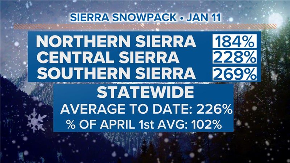
The southern Sierra leads the charge at 269% of its average to date and an impressive 123% of the April 1 average.
The central sierra is at 228% of average to date and 104% of the April 1 average while the northern sierra is at 184% and 81%, respectively.
Statewide, 115 stations report data and the average snow water equivalent is 26.6", which equates to 102% of the April 1 average.

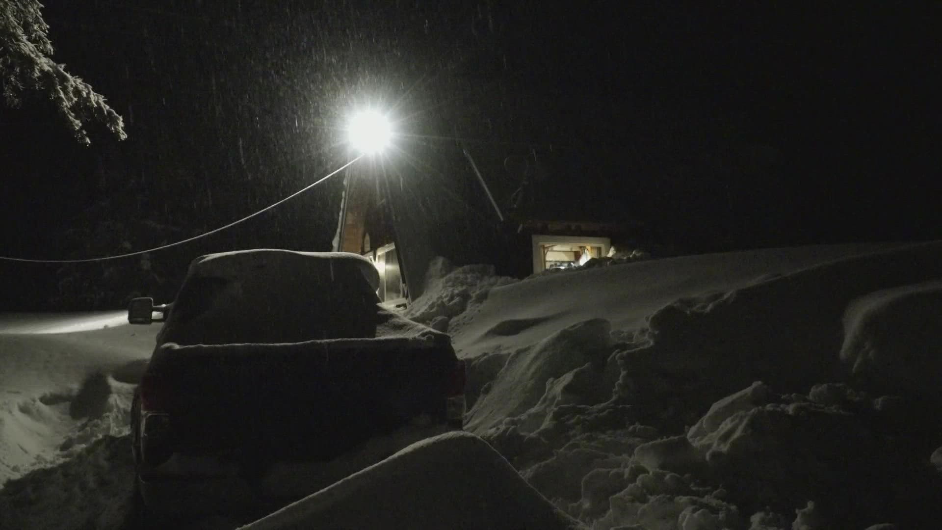
Up to another 6" of snow is expected Wednesday with a break Thursday before more heavy snow this weekend. Expect a few more feet through the weekend and through the work week next week before a possible break in the wet weather arrives around Jan. 20.
WATCH MORE: Northern California Storm | Light, steady rain forecast for Wednesday amid winter storms


