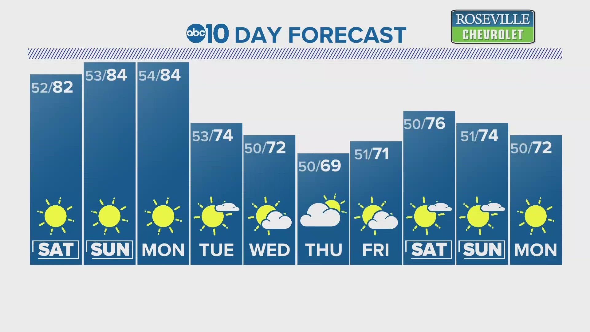
SACRAMENTO, Calif. — Dry and unseasonably warm weather blanketed much of Northern California over the weekend with afternoon highs topping out 10° to 15° above average.
Winds began to pick up Sunday, with occasional gusts near 25 mph. A developing weather pattern will keep highs in the 80s Monday with winds gusting to near 30 mph through Tuesday.
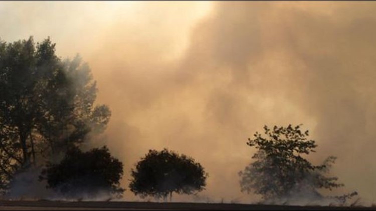
The recent dry end to the rainy season has allowed valley and lower foothill grasses to start drying early. This will make fuel available if a fire were to start and winds could help it grow faster than normal.
This time of year, the highest risk of fire tends to be in the valley. The Sierra still has some snow on the ground and there has been less evaporative conditions, like higher heat, to help dry out larger scale areas.
The Sacramento Valley will have the highest fire risk on Monday, mainly just to the east and west along I-5. The focus area shifts a bit Tuesday. The highest risk will be in the northern and central Sacramento Valley, near the Tracy triangle and parts of the Central Sierra.
This is a good reminder for those spending time outdoors to practice fire safety by not driving over grass, mowing lawns earlier in the mornings when humidity is higher, and watch for chains dragging on roadways.
Slightly cooler weather is expected Wednesday along with lighter winds as a weather system moves just east of the state. The Sierra could even see some showers Tuesday and Wednesday, with overnight snow levels dropping to near 6,500 feet. This will bring the fire danger down for the rest of the week.
WATCH ALSO: