
Update:
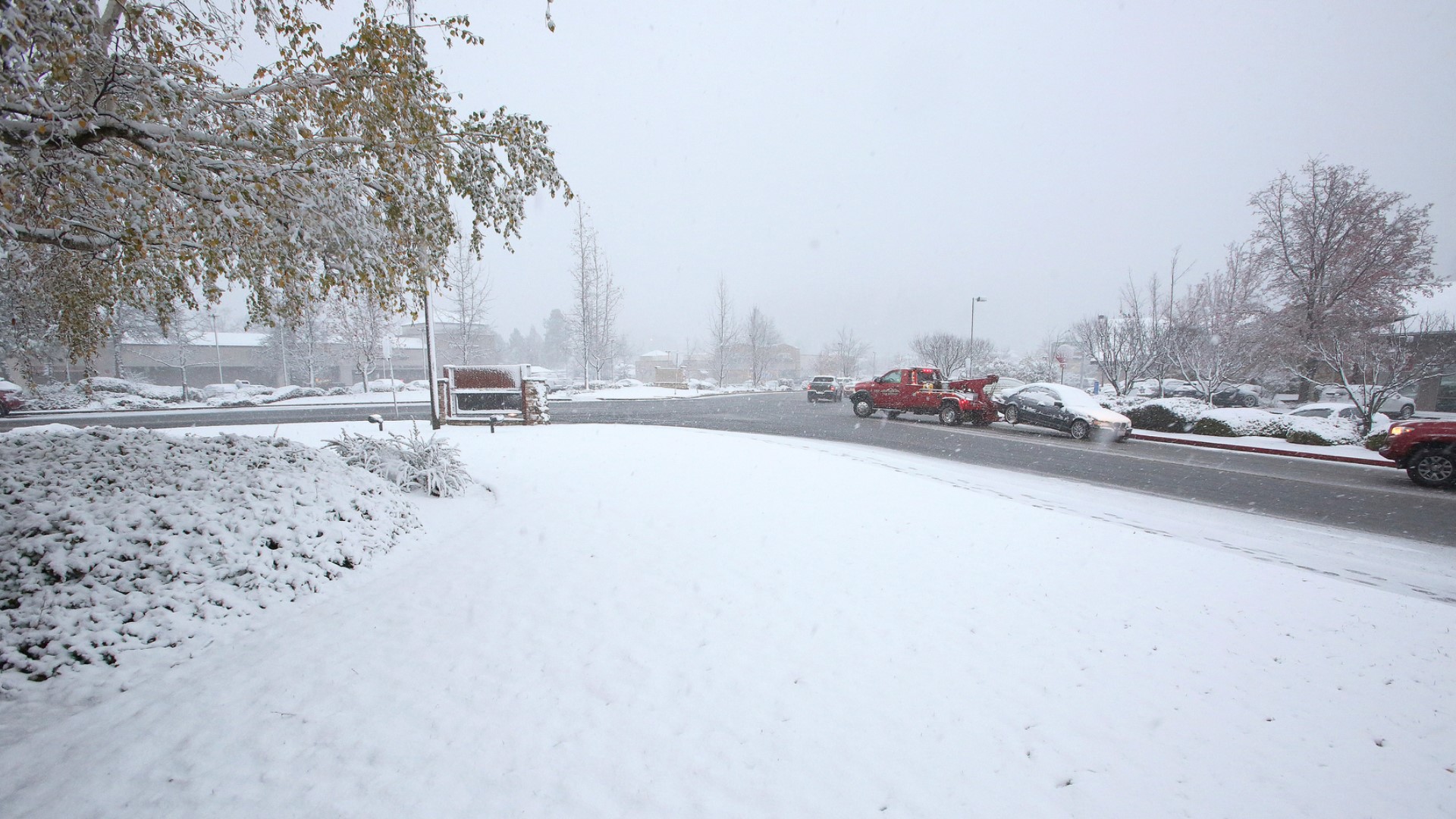
Thousands of residents have been affected by power outages in the mountains outside Los Angeles and in Northern California after rain and snowstorms walloped the state.
Nearly 9,000 Southern California Edison customers lacked electricity on Sunday in and around Lake Arrowhead about 62 miles (100 kilometers) northeast of Los Angeles, KABC-TV reported.
Power might not be restored before Monday because of area road closures, crews said. Officials were providing firewood to residents to help them keep warm after the communities were hit by a powerful snowstorm last week.
Chain controls in the Sierra have been put in place on several roads. According to the California Highway Patrol’s Truckee division, chain controls at various levels of restriction are in place at the following locations:
- I-80 is R2 chain restrictions Kingvale to Truckee in both directions.
- I-80 eastbound has re-opened to trucks. Chain requirements are maximum.
- I-80 is closed to all westbound truck traffic. All westbound trucks are being turned back at the Nevada State line.
- Highway 89 is R2 Markleeville to Woodfords.
- R2 Picketts Junction to Bliss State Park.
- R2 Bliss State Park to Squaw Valley.
- R1 chain restrictions Truckee to Sierra County Line.
- Highway 267 is R2 Northstar to Kings Beach.
- Highway 28 is R2 Tahoe City to Lardin Way.
- Highway 20 no controls.
- US-50 Twin Bridges to Meyers.
- Highway 88 is R2 Hams Station to Silver Lake.
- R2 Kirkwood to Picketts Junction.
- R2 Picketts Junction to Woodfords.
Outages also affected thousands of people across Northern California, many of them in Santa Clara, after a severe weekend rainstorm downed power lines.
The heaviest rain, however, fell on the Santa Cruz Mountains and Big Sur coast. The National Weather Service in Monterey said rainfall totals there surpassed seven inches in 24 hours, the Mercury News reported.
Update 12:30 p.m.
Trucks on westbound Interstate 80 are being turned around at the California-Nevada state line due to traction problems, according to Caltrans District 3.
Highway 267 is temporarily closed between North Star and Kings Beach due to vehicle spin outs, Caltrans said.
Trucks with chains were released on eastbound I-80 at Applegate.
Update 9:35 a.m.
Holiday travelers will once again hit the road and head home as the Thanksgiving holiday weekend comes to an end.
"Expect intermittent periods of rain over the Valley with moderate/heavy snow across the Sierra," the National Weather Service (NWS) in Sacramento said in a tweet.
They're also warning those traveling on Interstate 80 into the Sierra of a heavy band of snow that's starting to cover roads.
"Additional moderate/heavy snow is currently moving toward the northeast, which could further impact mountain travel," the NWS said.
Original
The second storm of the Thanksgiving holiday weekend will impact drivers headed home from grandma's house through the Sierra, Foothills, and Valley.
The Winter Weather Advisory has ended, but a Winter Storm Warning is still in effect through 6 p.m. Monday for much of Northern California. This system will be pulling in moisture from the South Pacific, causing temperatures to be warmer, even if you don't feel it. The cold blast of arctic air that moved in the Tuesday before Thanksgiving is still causing temperatures to remain low, as of Saturday morning.
Snow levels will continue rising from 3,000 feet to 7,000 feet in a matter of 24 hours with chain controls modified based on these levels. Interstate-5 north will still see snow chances north of Redding through Saturday night, but things should calm down by Sunday.
Now let’s talk rain!
Heavy bands of rain will move through the region from Saturday night through Sunday, with spotty showers Sunday into Monday. This could bring as much as 1.5 inches of rain through the Valley and 2.15 inches of rain in the Foothills.
Strong winds are expected to accompany this stormy weather. A Wind Advisory is in place until 3 a.m. Monday. Winds gusts could reach as high as 60 - 70 mph.
Chain controls are in effect for much of Interstate 80. Follow Caltrans District 3 and CHP - Truckee, and on Twitter for the latest driving and road conditions.
RELATED:
FOR THE LATEST WEATHER NEWS, DOWNLOAD THE ABC10 APP:


►Stay In the Know! Sign up now for ABC10's Daily Blend Newsletter
WATCH MORE: