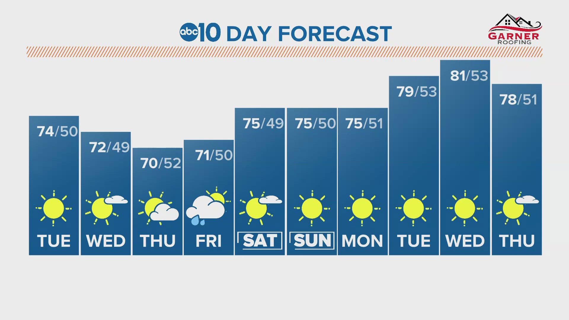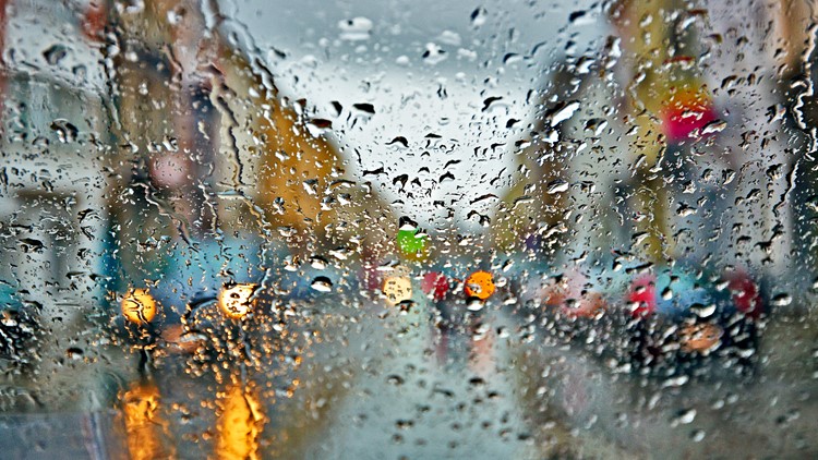
SACRAMENTO, Calif. — Northern California will get periods of rain through Wednesday from a system lurking off the coast.
During the day, you can expect dry periods followed by bands of showers and even thunderstorms later in the day. Periods of sun are expected throughout the day, which will help prime the atmosphere for thunderstorm activity in the afternoon and overnight.
RELATED: Sacramento Weather Forecast
Half an inch of rain is generally expected when you add up the various showers, but some areas will get more than an inch of rain if heavy banding gets stalled over an area.
Brief heavy rain will be embedded within the thunderstorms with lighting and hail that could make for a slippery commute. Accumulating hail could be a concern as well, along with the outside chance of a weak tornado, according to the National Weather Service.
The National Weather Service has issued a Flash Flood Watch for the southern Sacramento valley and foothill locations, especially areas near burn scars. These areas include the Mosquito fire, August complex, and LNU complex.
Road Conditions
9:30 p.m. Update:
Both directions of Interstate 80 have been reopened after a crash temporarily closed the roadways Monday. The crash happened just west of Floriston Way.
Live Traffic Cameras
View the map below for a real time view of traffic in the region.
Traffic Maps
View below for live traffic conditions.
WATCH ALSO: