
SACRAMENTO, Calif. — An active weather pattern will continue overnight through early Monday. Monsoon moisture from the Desert Southwest is being pulled north into the Sierra and rotating west into the valley.
Monday starts with a slight chance of showers and thunderstorms for the valley. Shower and thunderstorm chances will continue through the day for the upper foothills and Sierra.
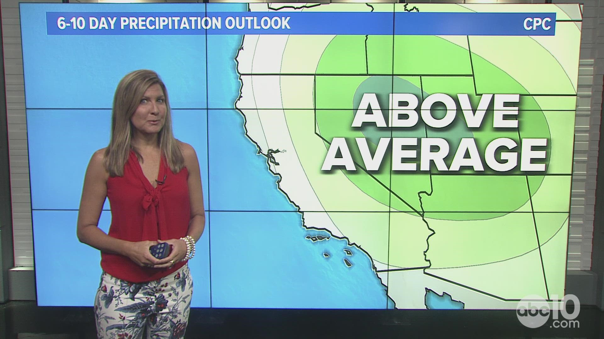
This pattern will give a good part of the eastern state above average precipitation for this time of year.
The dangerous element to this weather is the risk of new fire starts from lightning.
A Red Flag Warning is in effect near the McKinney Fire in Siskiyou County until 11 p.m. Sunday. Dry fuels, lightning and erratic winds with the thunderstorms will present risky fire fighting conditions.
An Excessive Heat Warning is also still in effect for the California/Oregon border through 11 p.m. Sunday with above average highs. This heat stretch could rank as one of the top five longest in climate history for this region.
All of these fire dangers are happening while in the background drought conditions persist. The McKinney Fire is in a region with Extreme Drought conditions, the second most critical category for drought.
Meanwhile, the Oak and Washburn Fires near Yosemite have burned areas with Exceptional Drought conditions, the most critical category for drought.
The valley will start the week with a chance of rare summer showers and thunderstorms. Humidity will also be higher with some discomfort from the higher moisture in the air.
Drier weather but heat returns to the valley midweek. Highs will be back near 100° by Wednesday.
WATCH ALSO:


