SACRAMENTO, Calif. — Snowy weather made it difficult for many to travel after the Christmas holiday, especially after a winter storm was in the path of thousands trying to head home.
As of Tuesday, Dec. 28, an additional 8.4 inches of snow pushed the total to 202.1”, making the Central Sierra now the third snowiest month ever recorded in the Soda Springs area.
Following strong snowstorms in Northern California, Pacific Gas and Electric (PG&E) is reporting that about 56,000 Sierra division customers were still without power Wednesday.
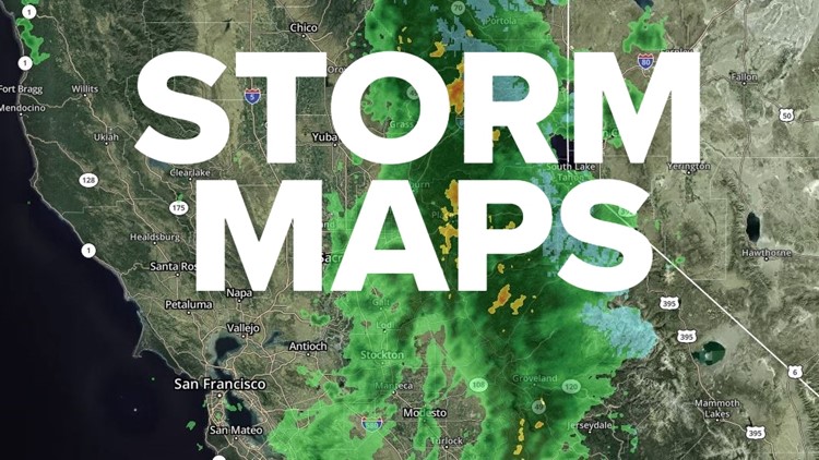
Maps
Radar map from ABC10.com. Adjust the layers with a filter on the bottom right corner to show rain, snow, wind and current temperatures:
STORM RESOURCES:
► FORECAST DETAILS | Check out our hourly forecast and radar pages.
► GET WEATHER ALERTS TO YOUR PHONE | Download the ABC10 mobile app
► WEATHER IN YOUR EMAIL | Sign up for the Daily Blend Newsletter
National Weather Service's Sacramento radar:
TRAFFIC
Live map showing traffic conditions along Interstate 80, Highway 50, Highway 89 around Lake Tahoe and the Sierra Mountains.
Snow Park locations are identified with purple markers.
Sacramento Valley traffic from Waze (zoom in to where you want to go):
Power Outages
PG&E power outages:
SMUD outages can be found HERE.
Click HERE for more ABC10 weather maps.
WATCH MORE: Pineapple Express and Atmospheric River Explained | Inside California's Winter Weather