
CALIFORNIA, USA — Here in Northern California, hot and dry winds that originate from the Northeast during the fall are commonly known as Diablo winds.
The name comes from Mt. Diablo. A mountain in Contra Costa county. This mountain is part of the Diablo Range. These winds blow in from the Northeast and if you're in the Bay Area they arrive from the direction of the Diablo Mountain Range, hence the name "Diablo" Wind.
These winds tend to arrive when our vegetation, or "fuel," is at its driest. Unfortunately, strong winds and dry fuel are a recipe for disaster when it comes to wildfire development. Historically speaking, excluding the last 3 years, September and October have been the worst months for wildfire development.
HOW ARE DIABLO WINDS CREATED?
There are a few different weather scenarios that are needed in order for these winds to occur.
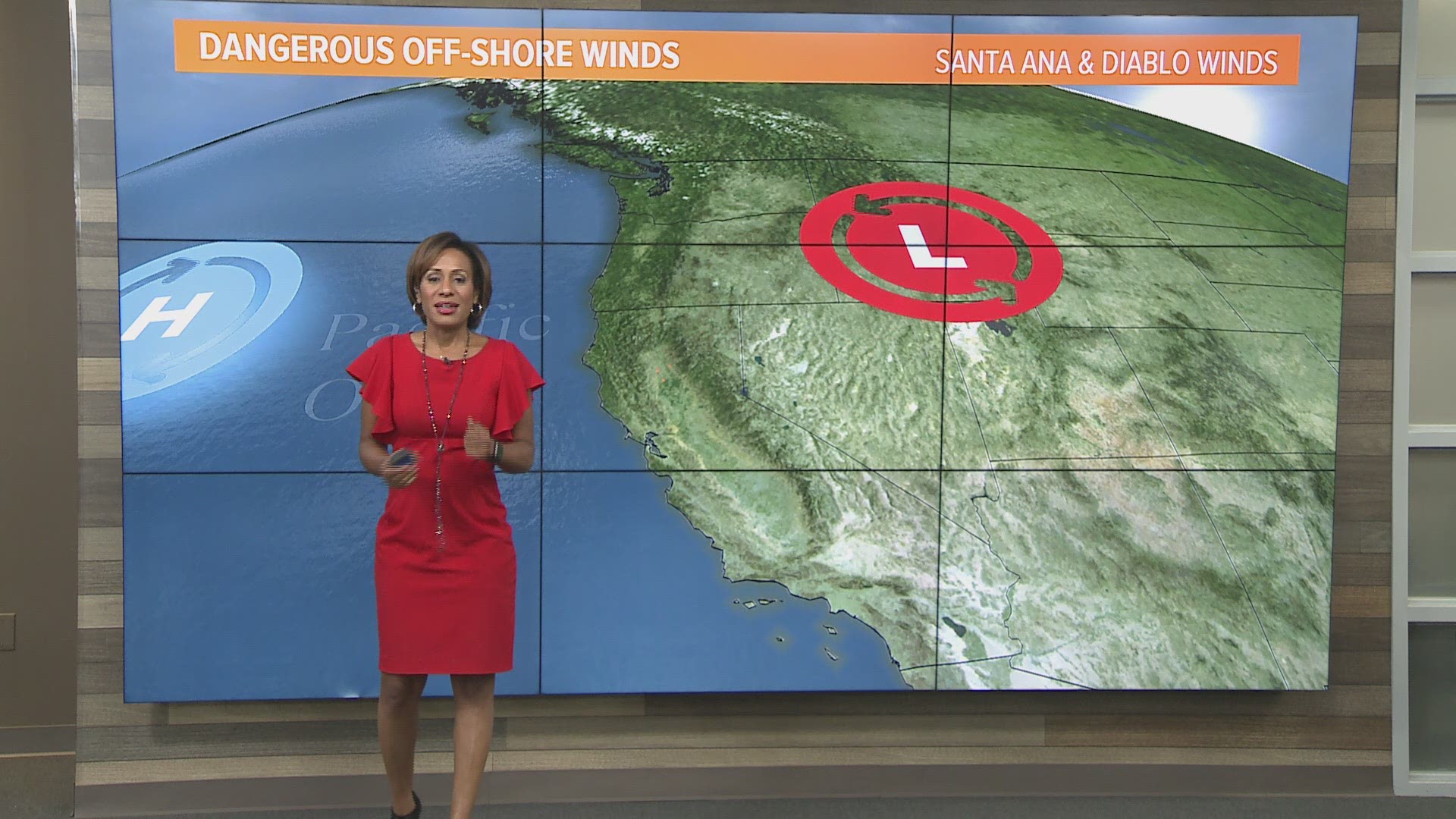
First, you need high-pressure in place. High pressure is a dome of sinking air. Winds around this high-pressure system move in a clockwise direction. These northeast winds move up and over mountain ranges eventually arriving in the Central Valley and ultimately the San Francisco Bay.
As these winds lower in elevation moving through various canyons they increase greatly in speed. Diablo winds can easily reach gusts of 50mph. It's this compression of the sinking air that warms and dries out the wind.
These dry and gusty offshore winds can become the main component in rapid wildfire development, giving firefighters little time to react.
READ NEXT:
FREE ABC10 APP:


►Stay In the Know! Sign up now for ABC10's Daily Blend Newsletter