
Click here for multimedia if you are viewing on the ABC10 app.
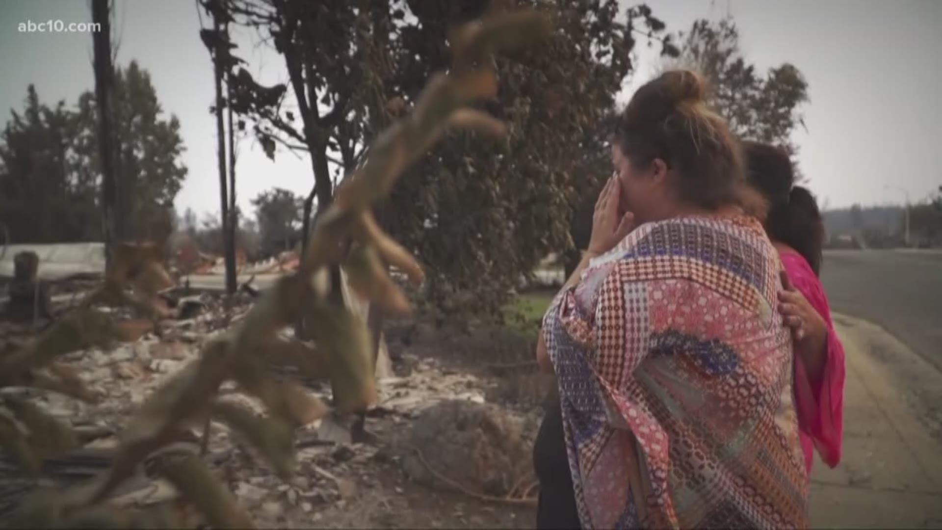
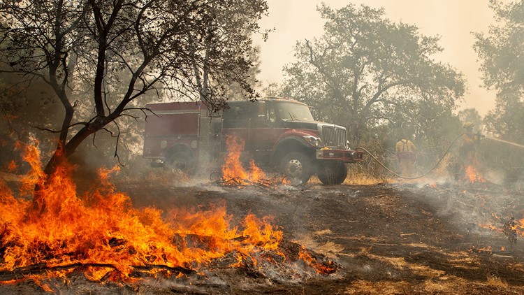
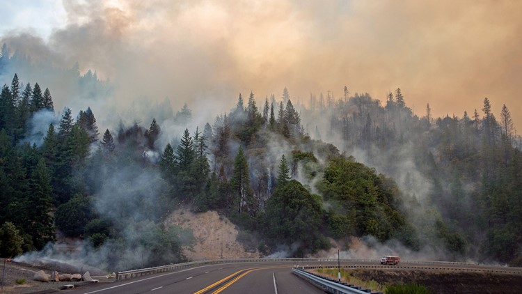
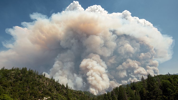
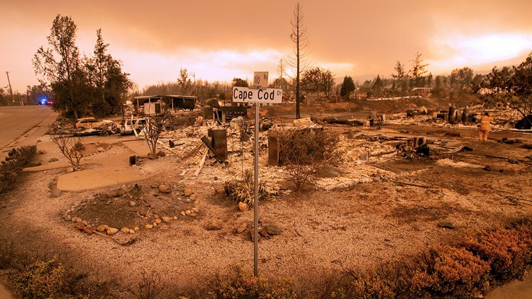
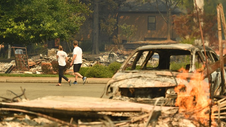
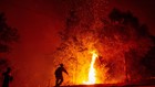
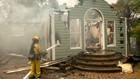
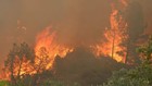
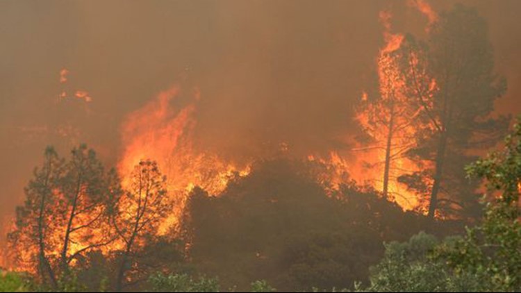
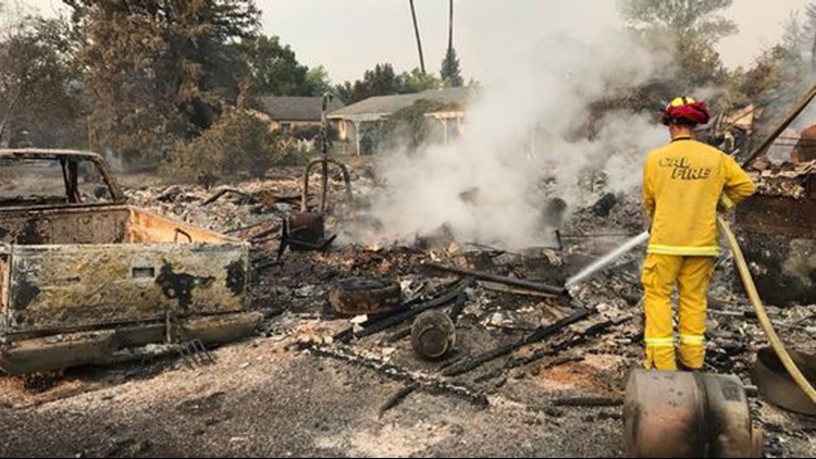
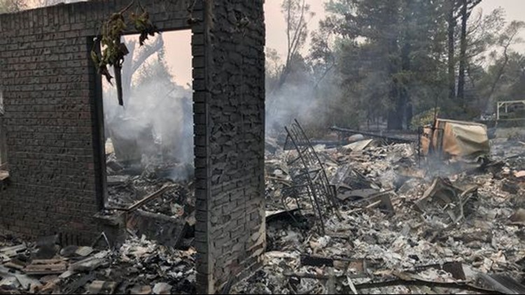
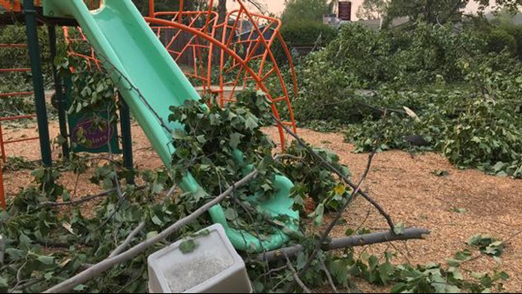
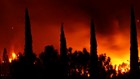
The Carr Fire in Redding has destroyed more than 1,000 homes and burned more than 154,000 acres, and claimed the lives for at least six people.
Click HERE for aerial 360 views of damaged neighborhoods from the City of Redding.
CalFire's map of Carr Fire perimeter:
Click here for the latest information direct from CalFire.
Here's CalFire's map of what homes were destroyed:
Traffic and road closures from Waze:
Also see | How to defend your home from wildfires
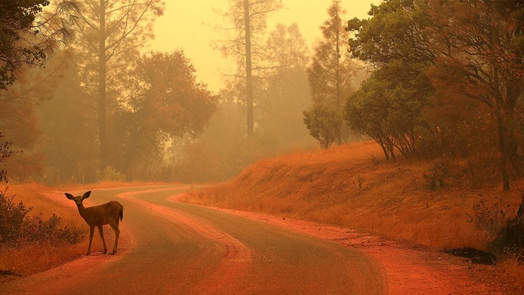
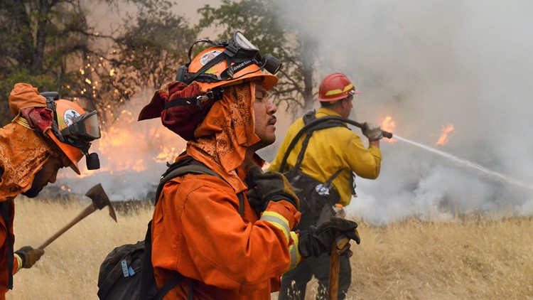
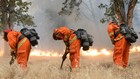
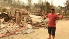
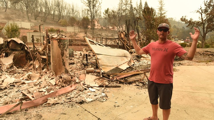
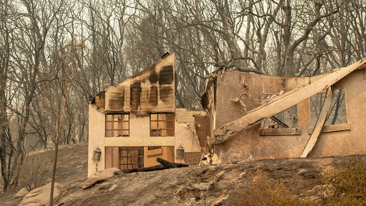
PHOTOS: Carr Fire devastates Redding, California


One more before you go: Devastating fires aren't just a rural problem anymore. As our climate and communities change, so does when and where wildfires will strike next. ABC10's Monica Woods shows why:
If you're viewing this on the ABC10 App, tap here for the multimedia.