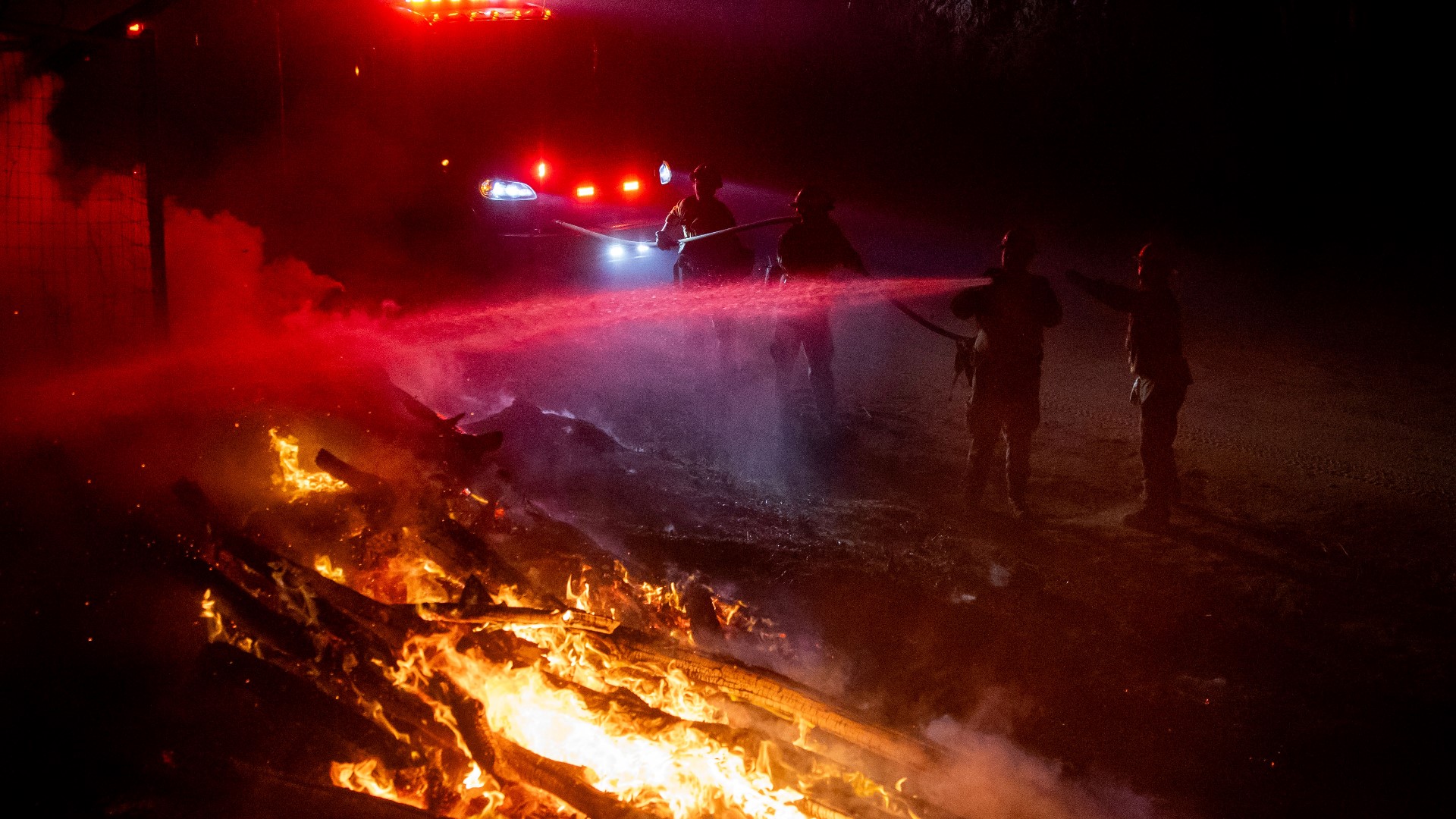
GAZELLE, Calif. — The Mountain Fire grew to nearly 18 square miles and was only 20% contained, with winds threatening to renew its eastward spread in steep terrain, fire officials said.
Scientists say climate change has made the West warmer and drier over the last three decades and will continue to make weather more extreme and wildfires more frequent and destructive.
STAY INFORMED:
Road Closures
• Gazelle Callahan Rd @ Hwy 99
• Gazelle Callahan Rd @ Hwy 3
• Gazelle Callahan Rd @ Macks Gulch Road
Evacuation Centers
- Karuk Wellness Center: 1403 Kahtishraam, Yreka, CA
- For large animals: Siskiyou County Fairgrounds at 250 Sharps Road, Yreka, CA
- For Dogs: Rescue Ranch Adoption Center at 2216 E Oberlin Road, Yreka, CA
- For Cats: Siskiyou County Fairgrounds Armory at 1712 Fairlane Road, Yreka, CA
Evacuation Map
Here is a map of the zones under evacuation orders and evacuation warnings from the Siskiyou County Sheriff's Office.
Fire Map
This map from ESRI shows fire activity (this may take a few seconds to load).
Wildfire Preps
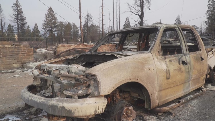
According to Cal Fire, the 2021 fire season started earlier than previous years, but also ended earlier, as well. January 2021 saw just under 1,200 acres burned from nearly 300 wildfires. Fires picked up in the summer when the Dixie Fire burned in five Northern California counties — Butte, Plumas, Shasta, Lassen and Tehama. The Dixie Fire started on July 13 and wasn't contained until Oct. 25, burning nearly 1 million acres. It has since become the second-largest wildfire in state history and the largest non-complex fire.
Overall, 2.5 million acres were burned in 2021 from 8,835 wildfires. Over 3,600 structures were destroyed and 3 people were killed.
If you live in a wildfire-prone zone, Cal Fire suggests creating a defensible space around your home. Defensible space is an area around a building in which vegetation and other debris are completely cleared. At least 100 feet is recommended.
The Department of Homeland Security suggests assembling an emergency kit that has important documents, N95 respirator masks, and supplies to grab with you if you’re forced to leave at a moment’s notice. The agency also suggests signing up for local warning system notifications and knowing your community’s evacuation plans best to prepare yourself and your family in cases of wildfires.
Some counties use Nixle alerts to update residents on severe weather, wildfires, and other news. To sign up, visit www.nixle.com or text your zip code to 888777 to start receiving alerts.
PG&E customers can also subscribe to alerts via text, email, or phone call. If you're a PG&E customer, visit the Profile & Alerts section of your account to register.
What questions do you have about the latest wildfires? If you're impacted by the wildfires, what would you like to know? Text the ABC10 team at (916) 321-3310.
Watch more on ABC10: 24-hour shift | California firefighters on how they handle extreme heat