
CALIFORNIA, USA — Northern California went from dry, windy, cool weather with high fire danger to cold temperatures, rain and Sierra snow.
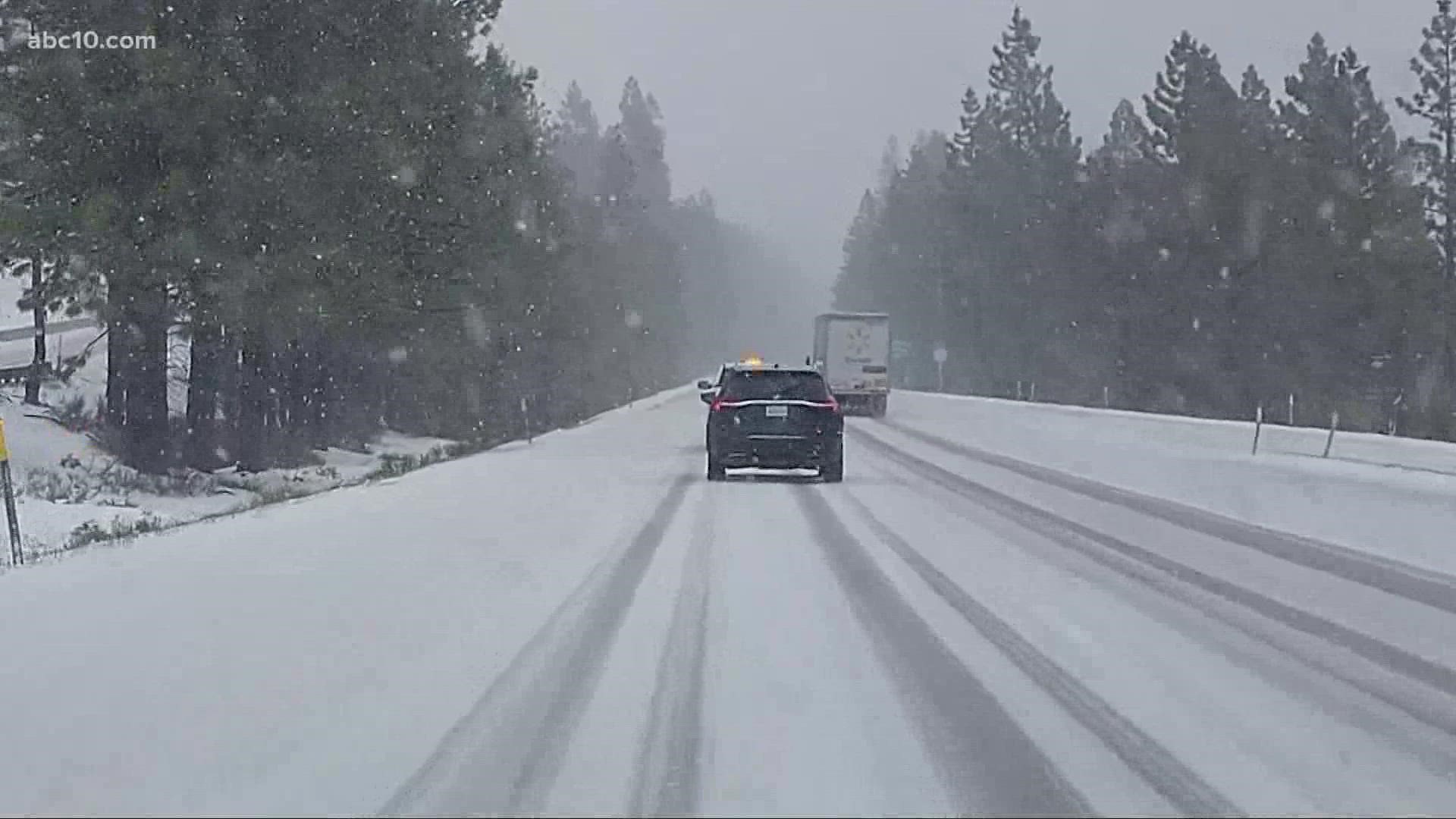
The snow came as a surprise for many drivers who were heading up Interstate 80.
For Turlock resident Victoria Sangster, she intended on getting married in Reno, and getting stuck along the way wasn't part of the plan. She didn't make it far before her Chevy SUV started sliding on the wet and slushy roads. She had to stop at Chevron to get chains.
"I'm a new driver. I've been driving less than a year, so it's pretty scary, and since my soon-to-be husband works night shift and he was up all night, I'm the one driving with all the kids in the car too," Sangster said.
Godfrey Dela Cruz and her family were also driving to Reno with plans to visit a friend. However, their Mercedes coupe was stuck for nearly two hours as they struggled to put on chains.
Gurbar Randhawa and Nick Sanhu, owners of the Chevron gas station on Cisco Road in Emigrant Gap, originally planned to put their chains away last week, but luckily for some travelers, they kept them in stock.
"Usually, people carry their chains, but we sold probably 100 chains today," Sandhu said.
"Probably more than that because a lot of people look at the weather for the destination but they never look at the weather on the way to their destination," Randhawa said.
The gas station owners encourage all drivers to be ready for the unexpected when heading toward the mountains this time of the year.
"A lot of people think it's not gonna snow, but be prepared," Randhawa said.
Road Conditions
Chain controls were lifted Monday afternoon on both Highway 50 and Interstate 80.
Monday Weather
- Still windy
- Scattered showers, foothills rain, and Sierra Snow
- Cold afternoon high temperatures (low to mid 60s)
Monday Rain Chances
A chance of rain is possible for the region, but not every location will get the rain. It looks like the rain will fall for most foothill locations. Those area areas could get anywhere between 0.5 inches to 1 inches of rain.
Valley locations will only get up to a 0.1 inches of rain. Showers will be scattered at best. In fact, most valley locations will not even see rain.
Rain chances will only be in the morning, wrapping up by the middle of the day. By the afternoon, the region has a chance of thunderstorms. Small hail, gusty winds, lightning and a brief period of heavy rain are possible with any thunderstorm.
Strong Wind
The gusty winds continue through Monday. While there is no Wind Advisory for the region on Monday, winds could be blustery at times. Morning winds will blow from the S/SW for valley spots, and in the foothills, will blow from the SE. Both areas will be 5 to 15 mph. Afternoon winds will pick up across the Sacramento Valley and foothills. They will blow NW at 15 to 25 mph. The San Joaquin Valley will be westerly at around 20 mph. Winds decrease by late Monday evening.
Cold Temperatures
The cooling trend continues into Monday and looks to be the coolest day in the 10 Day Forecast. Valley highs will reach the lower 60s. The lower foothills will reach the upper 40s to lower 50s. The upper foothills to the Sierra will reach the upper 30s to mid 40s.
Sierra Snow
There’s a Winter Weather Advisory for the Sierra Monday 5 a.m. to 8 p.m
Snow levels will start off around 5,200 feet in the morning, dropping to around 4,500 feet in the afternoon. The system is a quick one. Sierra snowfall chances start at 5 a.m. and will last until about 7 p.m. or 8 p.m.
Potential Snow Totals
Areas above 7,000 feet could receive 8 inches to 14 inches of snow. Areas below 7,000 feet could receive 4 inches to 8 inches. Areas around 4,000 feet to 5,000 feet could get about one to two inches.
Sierra Winds
- Ridge gusts up to 100 mph
- West Slope gusts up to 50 mph
These strong winds could cause downed tree branches or downed trees. Power outages might be possible.
Sierra Cold Temperatures
Highs will go from warm 50s over the weekend to highs in the upper 30s.
Also in the forecast, overnight lows tonight in the 20s, dropping to the teens on Monday night and Tuesday night.
Sierra Travel
Wet and slick roads may cause travel delays. Chain controls possible. The best time to travel will be before Monday 4 a.m. or after 4 p.m. on I-80 or after 5/6 p.m. on Highway 50.
Give yourself plenty of time if you need to travel in the high country on Monday.
WATCH ALSO:


