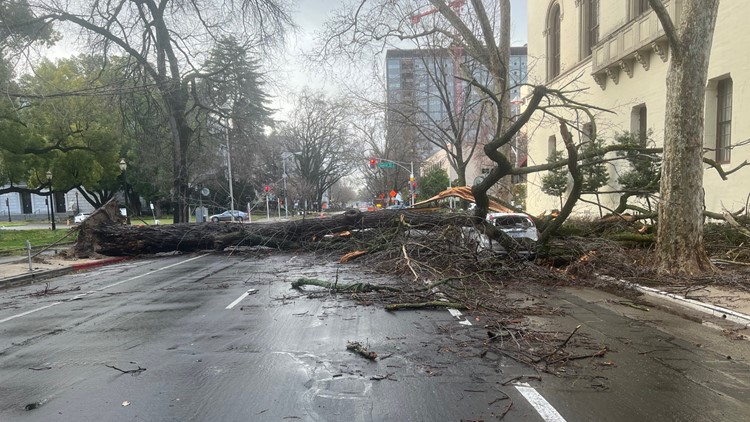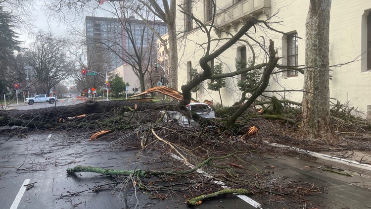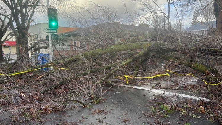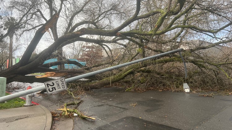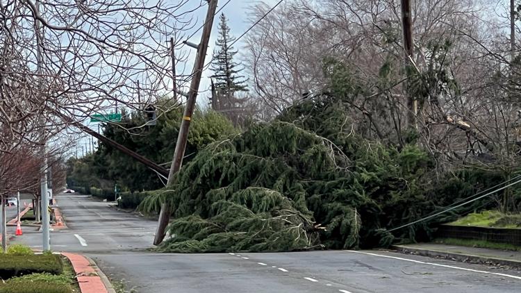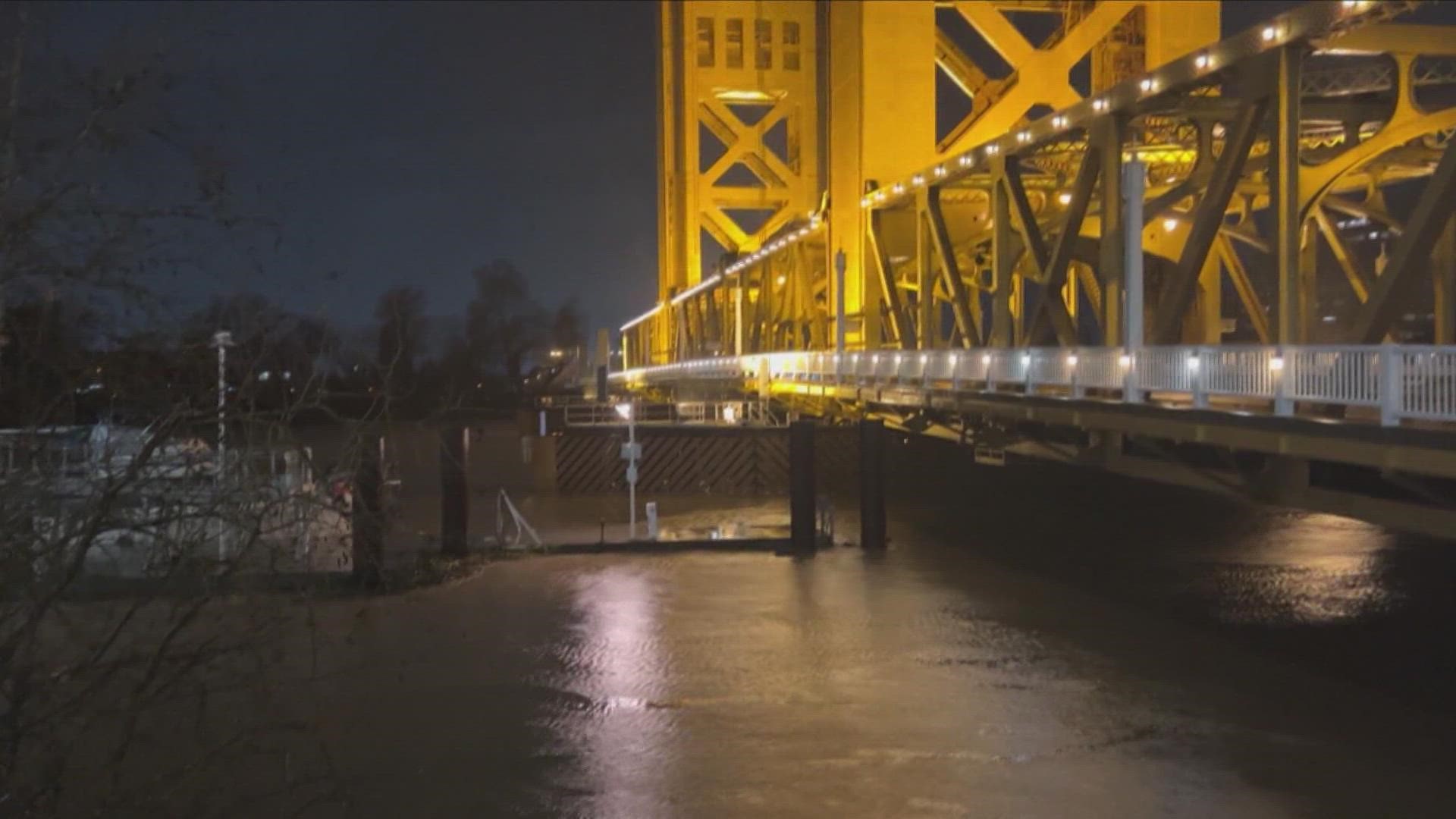
CALIFORNIA, USA — A strong atmospheric river storm is forecast to bring high winds and rain to the Sacramento region and California on Monday.
This will be a wetter storm with as much as 2-5 inches expected in the valley in the coming days, with several feet of snow expected in the Sierra. A High Wind Warning is in place for the valley and foothills out to the coast from midnight Monday until Monday afternoon.
PG&E's outage map is showing widespread outages in West Sacramento, Davis and areas near Stockton.
The National Weather Service warned of a “relentless parade of atmospheric rivers” over the coming week, producing heavy rain and mountain snow. Atmospheric river storms are long plumes of moisture stretching out into the Pacific and can drop staggering amounts of rain and snow.
The storms won’t be enough to officially end California’s ongoing drought but they have helped.
Department of Water Resources Director Karla Nemeth said this is the fifth atmospheric river, with a sixth expected to arrive later in the week, roughly Jan 12-14.
Evacuations
The storms have led to high waters in local rivers which prompted the Sacramento County Office of Emergency Services to issue an evacuation order for the Wilton area.
Read more about the evacuation order HERE.
In Sutter County, an evacuation order specific to residents of the commercial trailer park Lovey's Landing on the river side of the Sacramento River levee in northwestern Sutter County as of 10 a.m. Monday. Information on the county's 21 road closures can be found HERE.
An Evacuation Advisory is in effect for part of South County due to hazardous conditions. The area is bordered by Linne Road, Bird Road, Durham Ferry Road and Chrisman Road. For a map, click HERE.
Evacuation warnings were issued in Solano County for some people near Vacaville. People west of Peabody, south of Beelard, east of Northwood, and north of Alamo Drive are advised to leave as of 8 a.m. Monday especially for those who need extra time or people with pets and livestock. People in the Southwood Place area, south of Marshall Road, east of Peabody, north of Alamo and west of the Putah Canal are advised to evacuate as of 7:30 a.m.
Possible flooding also prompted an evacuation warning in El Dorado County for Highway 50 and White Hall and Highway 49 and Union Mine Road to the Amador/El Dorado county border.
Those in Sacramento County who have been impacted by the storm can seek shelter at the Barbra Morse Wackford Community Center at 9014 Bruceville Road, Room B, Elk Grove CA. The California Governor's Office of Emergency Services opened the shelter Sunday morning.
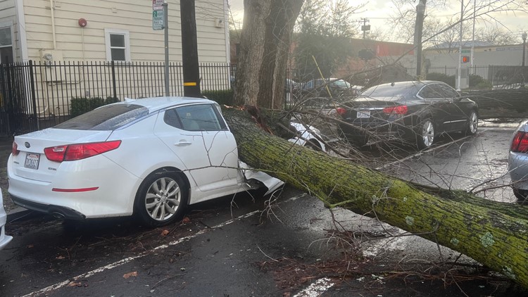
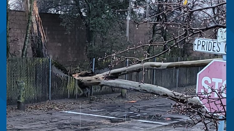
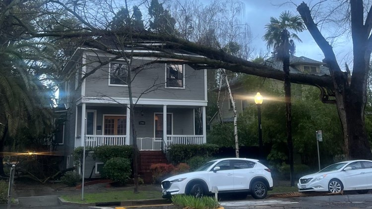
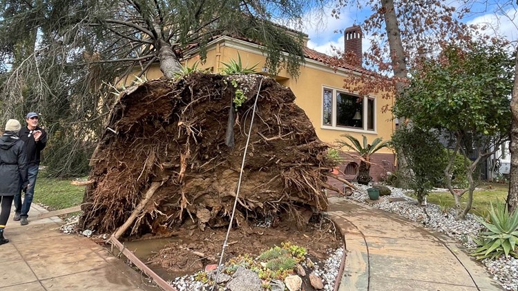
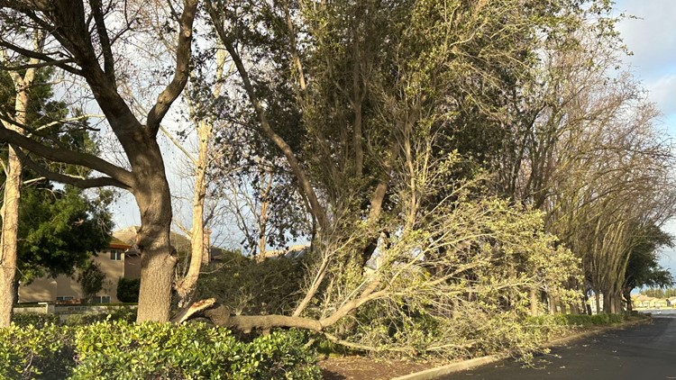
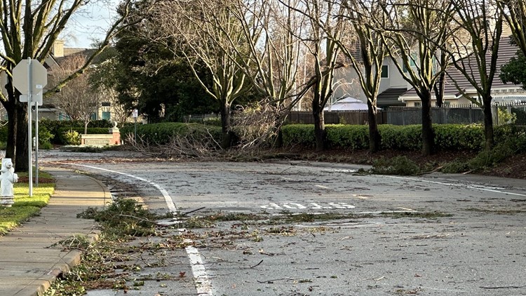
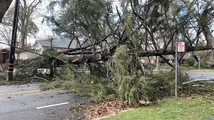
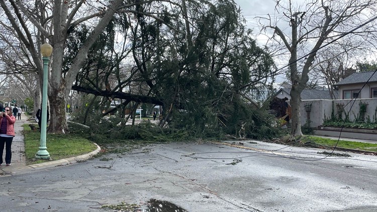
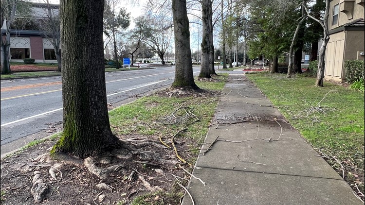
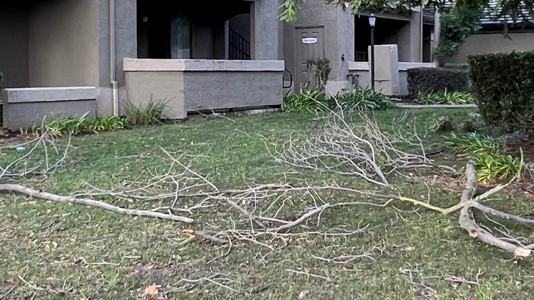
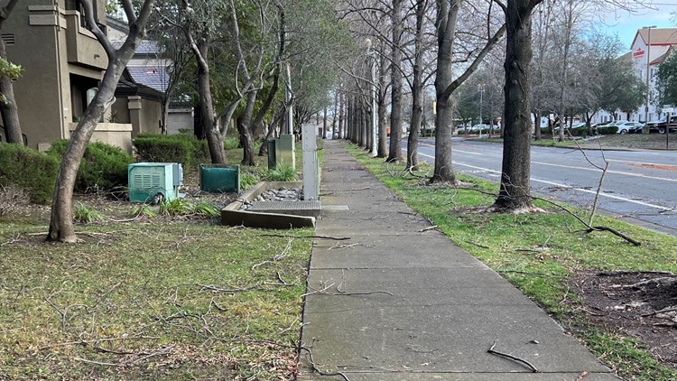
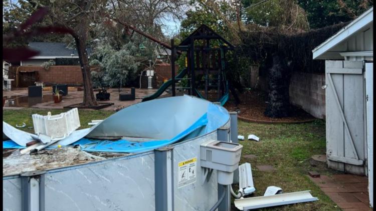
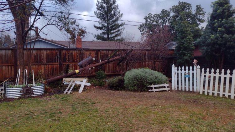
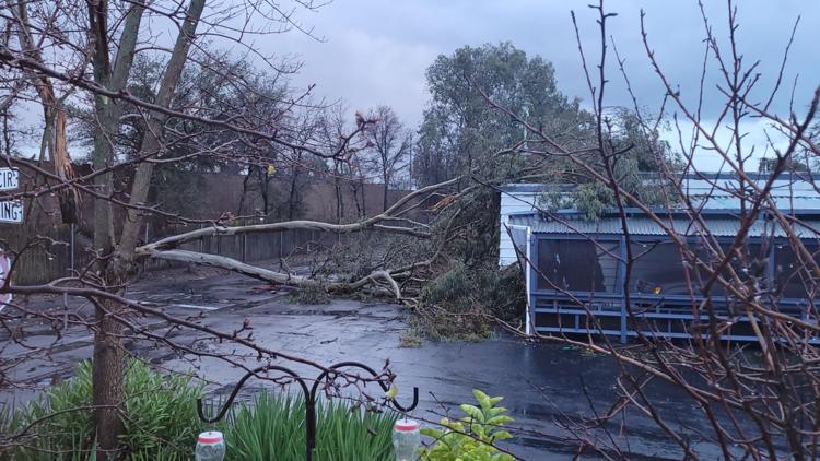
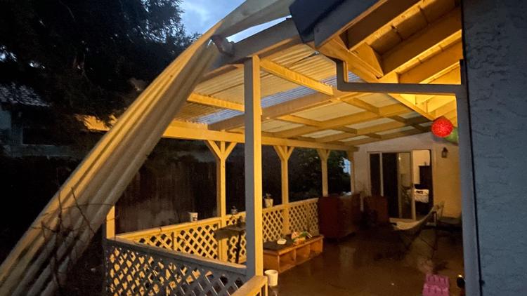
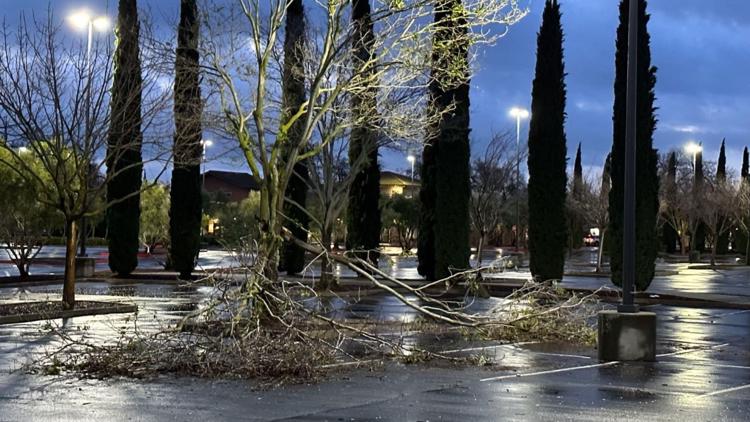
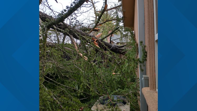
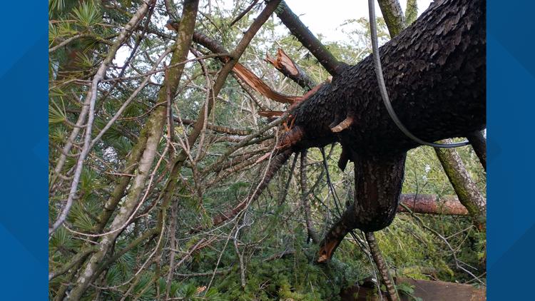
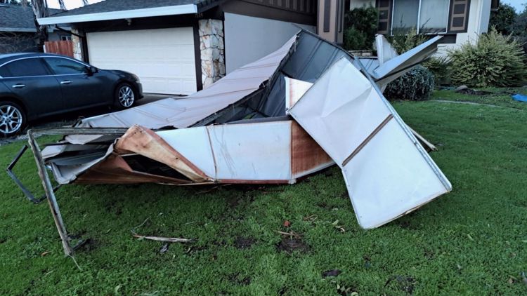
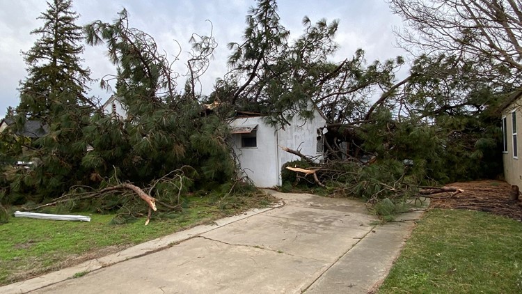
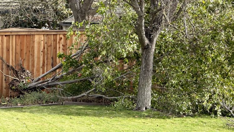
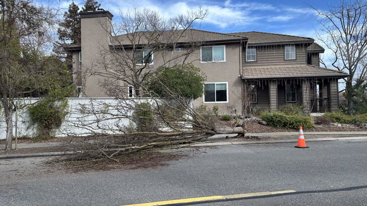
► STORM SCENES: Photos and video of the latest storm damage
Maps
Radar map from ABC10.com. Adjust the layers with a filter on the bottom right corner to show rain, snow, wind and current temperatures:
STORM RESOURCES:
► RESOURCES | Helpful information and emergency resources to get you through this storm
► FORECAST DETAILS | Check out our hourly forecast and radar pages.
► GET WEATHER ALERTS TO YOUR PHONE | Download the ABC10 mobile app
► WEATHER IN YOUR EMAIL | Sign up for the ABC10 Today newsletter
TRAFFIC
Live map showing traffic conditions along Interstate 80, Highway 50, Highway 89 around Lake Tahoe and the Sierra Mountains.
Snow Park locations are identified with purple markers.
Sacramento Valley traffic from Waze (zoom in to where you want to go):
Power Outages
PG&E power outages:
SMUD outages can be found HERE.
Roseville Electric Utility outages can be found HERE.
Lodi Electric Utility outages can be found HERE.
Click HERE for more ABC10 weather maps.
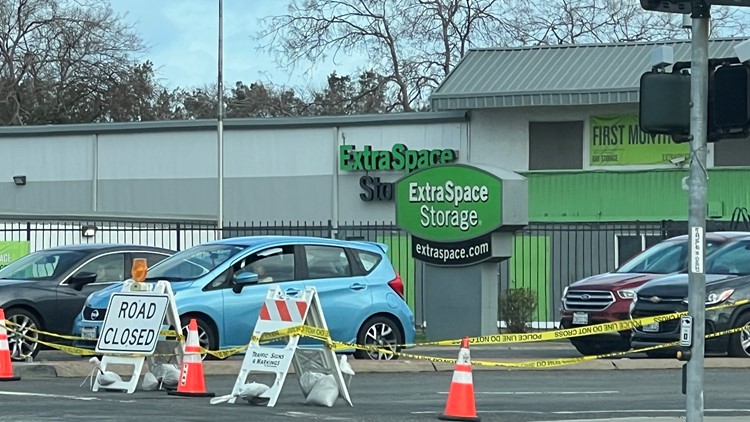
Road Closures
Capital City Freeway
- Capital City Freeway: Closed from Fulton Avenue to Watt Avenue in Sacramento due to flooding, according to Caltrans.
Chain Controls
Interstate 80
- Eastbound I-80: Trucks must stop at Applegate for a chain checkpoint according to Caltrans.
- Westbound I-80: R2 in both directions from The Donner Lake Interchange to 4.7 miles west of Kingvale according to Caltrans.
Highway 50
- US 50 is R2 in both directions from Twin Bridges to Meyers according to Caltrans.
Highway 88
- Chain controls are in place for all cars from Ham's Station to Peddler Hill Summit in both directions, according to Caltrans.
- Part of the highway is closed between Peddler Hill Summit and 5 miles west of Pickett's Junction due to snow. Check the Caltrans road conditions maps for the latest.
Highway 4
- Chain controls are in place for all cars from Tamarack to Mount Reba Road in both directions, according to Caltrans. The Highway is closed in both directions from Ebbett's Pass to the east end of Lake Alpine in both directions.
Sandbags
Counties across Northern California are offering sandbags to residents. Locations are listed HERE.