

The Woosley Fire in the Thousand Oaks and Malibu area has burned more than 83,000 acres, destroyed more than 175 structures and killed at least 2 people since it began on Thursday November 8.
Many roads in the area are closed. This real-time Waze maps shows the latest conditions:
Here's a look at the California Office of Emergency Services map and resources allotment. (Note this map might take a few seconds to upload.)
Watch now... Episode 6 "Inside the Evacuation Zone" When it comes to covering wildfires, "Adventure" Dan goes where others can't to keep evacuees informed until they can get home.
Photos of Redding's Carr Fire:
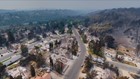
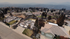
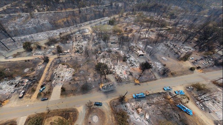
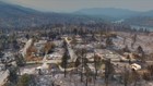
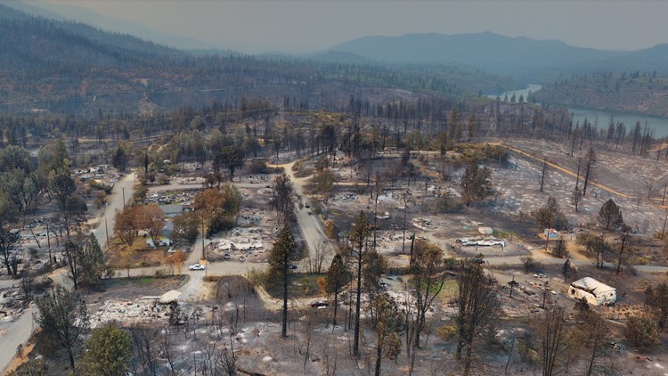
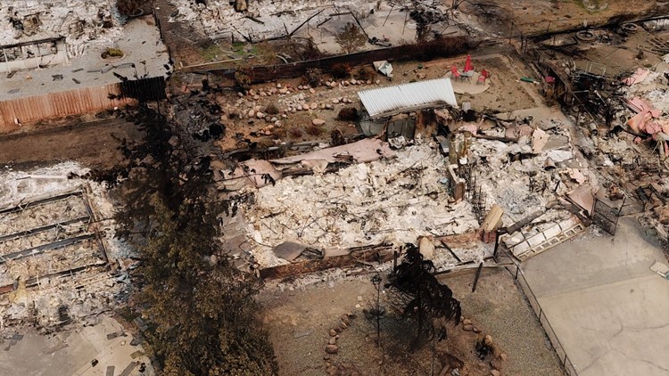
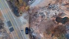
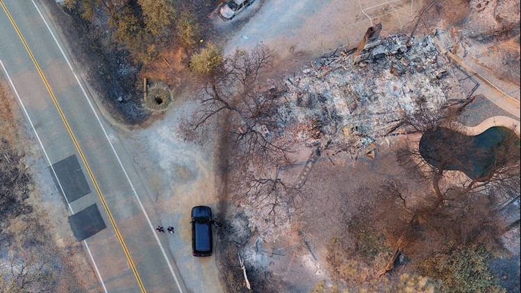
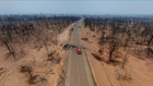
Photos: Drones show Carr Fire destruction from above


/