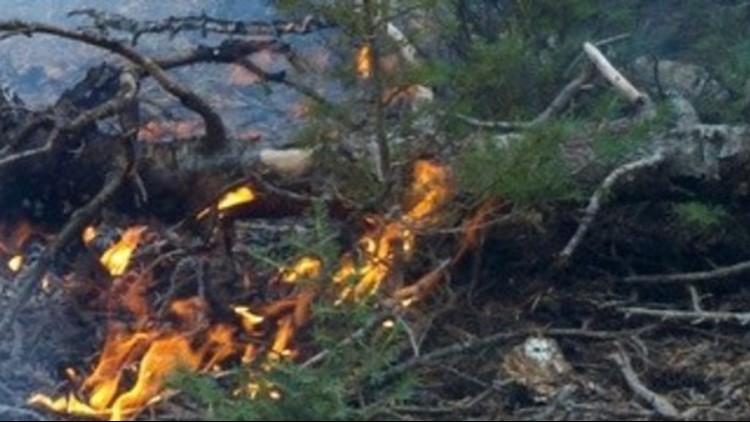
The Hat Fire started Thursday afternoon near Highway 299 and Fish Hatchery Road, northeast of Burney in Shasta County. It has burned more than 2,500 acres.
Here is the latest perimeter map from CAL FIRE:
Check with Shasta County Sheriff for the latest evacuation information.
Click HERE for the latest information from CAL FIRE.
Here's the latest road closures from Waze:
One more before you go... Devastating fires aren't just a rural problem anymore. As our climate and communities change, so does when and where wildfires will strike next. ABC10's Monica Woods shows why: