
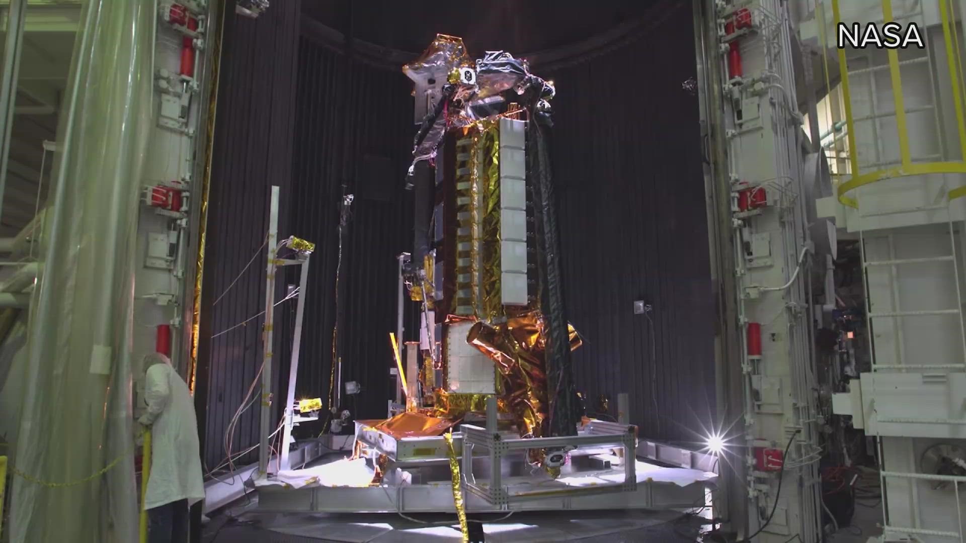
CALIFORNIA, USA — NASA's Jet Propulsion Laboratory in conjunction with the Indian Space Research Observatory has been working on a mission to send an interferometric synthetic aperture radar into orbit.
NISAR, for short, will measure changes in the land and surface altitude. It can tell if land is sinking or rising and helps determine density and spatial changes deep into the ground.
This satellite is set to launch into space in 2024 and will observe the entire Earth day and night feeding back information via radar. It will take 12 days to measure the entirety of the planet. According to NASA, NISAR is the first of its kind to use two different radar frequencies (L-Band and S-Band) to feed back information.
"NISAR is going to be great because it not only monitors water, it's going to also monitor tectonic shifts like earthquakes or signals before and after earthquakes that we can get some insight into how earthquakes work, how the Earth's crust is moving," said Jet Reager, a scientist for NASA's Jet Propulsion Laboratory.
He said they don't have many measurements of what's happening underneath the surface, deep within the rocks and soil layers.
The NISAR is expected to be public information once data is captured. In California for example, this may be used to make decisions on water distribution or which aquifers are better suited to hold additional water. Many years of drought have led to overpumping of water wells. As water underground runs out, those areas are left depleted.
"There is no recharge potential for some of those regions that are subsiding a lot, so that subsidence is a permanent and final in other places that have more sandy soils. We do see the variability in subsidence," said Reager.
Aside from helping with societal water concerns, studying tectonic shifts could possibly help with improvements to earthquake forecasting. Reager said it can give us insight into potential earthquake signals before and after quakes, along with showing exactly how the plates are moving.
With intensifying climate change, NASA scientists say NISAR will also provide information into changing ecosystems and landscapes. These tools will also assist in response to potential landslides, debris flows and fire outbreaks.
The satellite is headed to India at the end of the February and is set to launch sometime in 2024.
WATCH ALSO:


