
PLACER COUNTY, Calif. — Part of Interstate 80 in the Sierra remains closed due to blizzard conditions, and it's not clear when it'll reopen.
The California Highway Patrol said the interstate is closed at Colfax and the Nevada State Line. There's no estimated time for reopening, but according to Caltrans, it won't be Sunday.
Officials said they hope to reopen I-80 sometime Monday once there's a break in the weather.
Among the challenges for crews is equipment. Due to the blizzard conditions, their snow blowers broke down. According to Caltrans, their crews are down to two of 10 blowers at their Kingvale hub and are at six of 20 blowers from Auburn to the Nevada State Line.
Highway 50 is open, but there have been traffic holds due to avalanche control and spinouts. Officials are calling on people to delay travel along the Highway 50 if they can. The City of South Lake Tahoe recently announced traffic was backed up toward Meyers from Pioneer Trail and Highway 50.
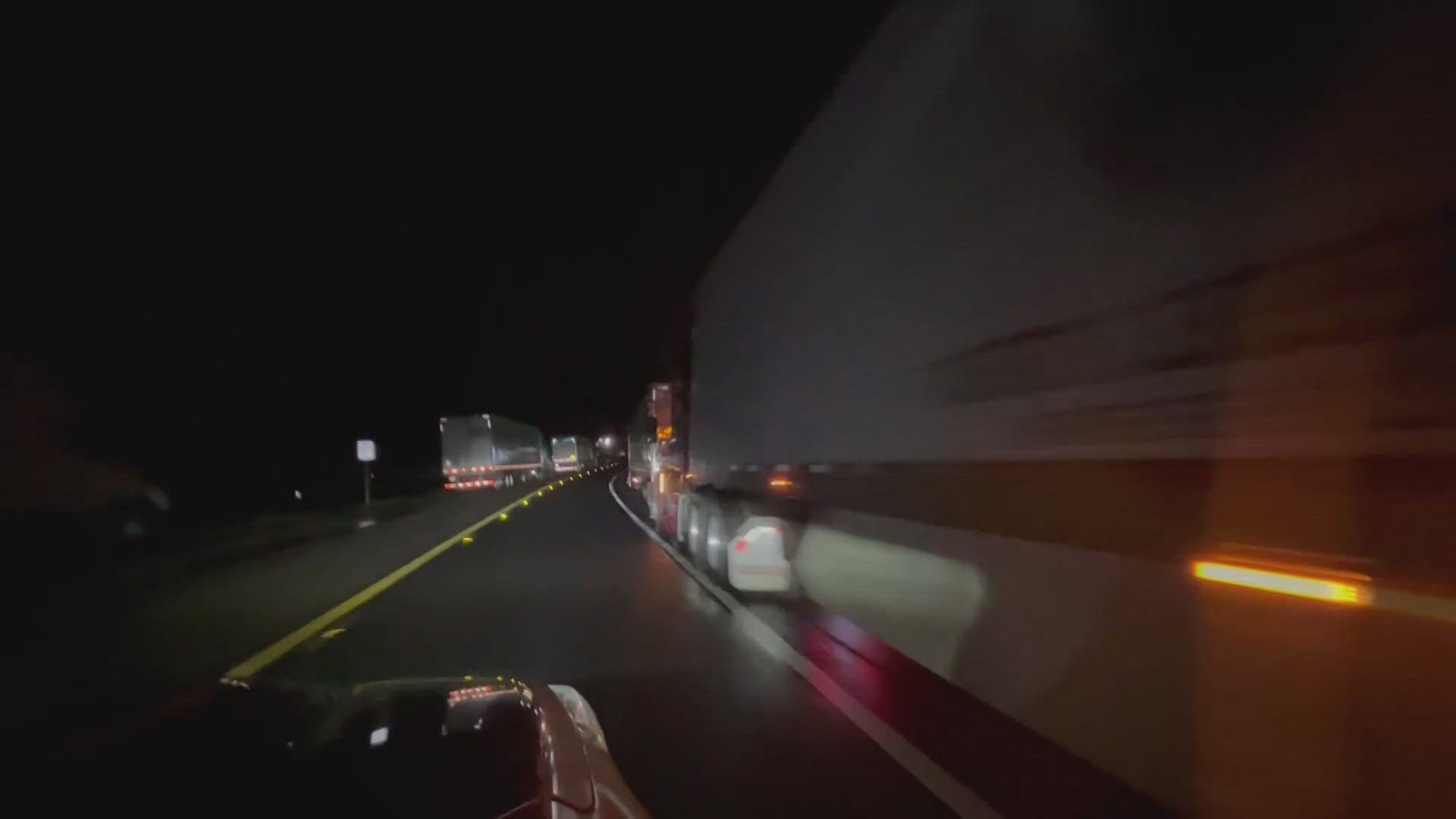
Truck drivers are waiting in Applegate for the freeway to reopen.
“You don't know how long you're going to wait here,” said Sham Siddin, a truck driver who's been stuck in the area for two days.
For Siddin, it is his first time and he's praying that the freeway opens soon.
"Nobody's going to pay you for this time, nobody," said Siddin. “Wait, wait, and wait and don't know what's going to go in on there.”
For many trucks, I-80 is the only option to get over the Sierra. Caltrans is hoping to reopen the roadway sometime Monday.
Sierra Forecast
Scattered showers will continue in the valley on Sunday while periods of moderate to heavy snow continue in the Sierra as the most impactful storm of the winter continues.
Interstate 80 remains closed with no estimated time of reopening due to blizzard conditions. Highway 50 is open, but under chain controls, and travel remains very discouraged across the Sierra due to dangerous road conditions.
The expiration of the blizzard warning at midnight on Sunday does not mean the end of the rain and snow for Northern California.
Another system will push into the region on Monday, prompting the issuance of a winter storm warning in the areas where the blizzard warning has been the last three days.
The blizzard has produced very impressive snow totals since Thursday. 5-8 feet has fallen above 5,000 feet and light snow has fallen as low as 2,000 feet.
The heaviest snowfall with this next influx of moisture will be along and north of Interstate 80. Models aren’t in agreement in how much snow will fall on Monday and Tuesday but an additional 4-12" is possible north of Highway 50 by Wednesday, including the ongoing snowfall on Sunday. Some locations may get closer to 2 feet when it's all said and done.
Snow levels will steadily rise to around 3,000 feet by Monday evening and will be around 4,000 feet as the wet weather finally vacates the region.
Another 0.1-0.25" of rainfall is expected through Tuesday in the valley. Rain totals have been light in relation to the massive snow totals with generally 0.75-1.5" of rain falling in the valley since Thursday. 1.5-4" have fallen in the foothills below the snow line.
By Wednesday, most of interior Northern California will be dry as the system pushes south. Thursday and Friday will be dry before more wet weather returns by Saturday. Next weekend's storm system will be on the lighter side but is too far away to forecast exact totals.
High temperatures this week will remain below average but will warm up into the low to mid-60s by the end of the work week. The average high temperature in Sacramento this time of year is 65 degrees and highs will be near to slightly below that in the valley by Friday. Below-average temperatures return next weekend.
WATCH ALSO:


