
CALIFORNIA, USA — Northern California isn't quite done with rainy weather just yet. After a series of atmospheric river storms, Tuesday is expected to be another wet and windy day.
There is a Wind Advisory until 1 p.m. for the valley, including the Sacramento metro area, Stockton, Modesto, and out to the coast. Sustained winds of 15-25 mph are expected with wind gusts of 30-40 mph.
There is a Flood Watch through this afternoon for much of Northern California as creeks and rivers continue to run high, with some ponding on roadways continuing. With the potential for some thunderstorms this afternoon, locally heavy downpours will create additional but largely local flooding issues.
There is an Avalanche Warning until 4 p.m. for the eastern slope of the Sierra. Heavy snowfall combined with strong winds has made for unstable snowpack. Avoid travel through avalanche terrain. Avalanche danger is high on all aspects at all elevations.
TUESDAY MORNING
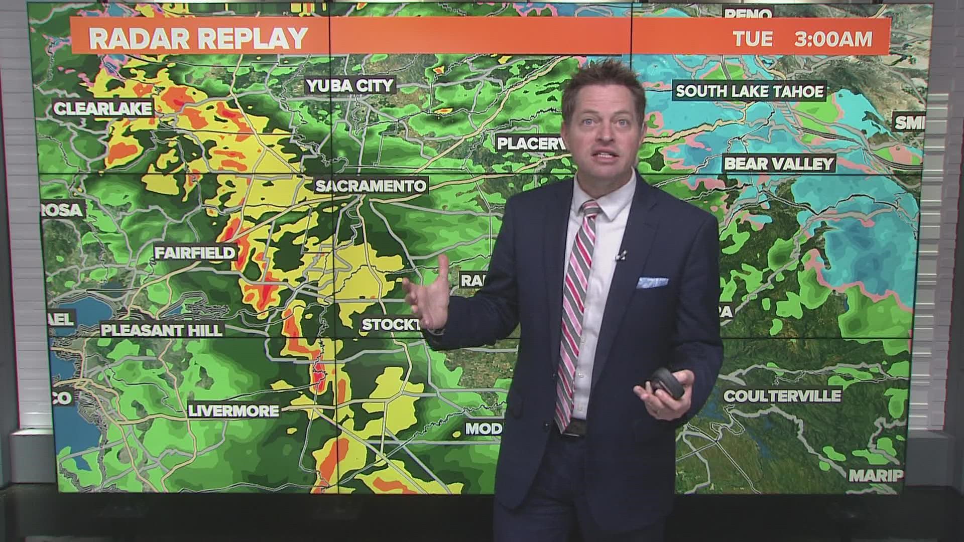
Heavy overnight rain made the roads wet and will keep roads wet through much of the morning. The heaviest rain moves through by sunrise.
Off and on rain is likely to continue through the morning hours, with the potential for a thunderstorm or two. Rain will be light for most, though a few stronger storms will produce locally heavier rainfall. Additional rainfall accumulations of about half an inch are likely.
Snow levels will be dropping through the morning, down towards 4,000-4,500 feet and remain there for much of the day. Travel will be extremely difficult in the Sierra due to additional snowfall and strong winds creating whiteout conditions. New snow accumulations of about 1 to 2 feet are expected.
Valley winds will remain gusty through the morning, though not as strong as the winds were overnight Monday into Tuesday. Expect gusts around 20-30 mph.
TUESDAY AFTERNOON
Some clearing is possible during the afternoon hours, and this is important because the more clearing we see, the warmer we'll be. With unstable air present this afternoon, there is a good chance for thunderstorms. Any extra daytime heating we see thanks to a break in the clouds will only serve to make the risk for thunderstorms greater.
Be prepared for rapidly changing weather conditions this afternoon. Thunderstorms are likely to develop and move quickly across the valley. The primary threats with these storms will be brief but could bring heavy downpours, gusty winds, and even funnel clouds. A weak tornado is also not out of the question. Stay weather aware and be alert to changing weather conditions. Keep an eye on the sky this afternoon.
Additional rainfall totals are expected to only be a few tenths of an inch, but areas that get a thunderstorm could see an additional half an inch or more.
Another 1 to 2 feet of snow is possible above 5,000 feet in the Sierra this afternoon. Even as the rain becomes more spotty in the valley, snow will be heavy in the Sierra. Travel will continue to be very difficult.
TUESDAY EVENING & OVERNIGHT
Rain and thunderstorms will gradually lighten up as the evening wears on. Especially after sunset the air will become more stable and the thunderstorm risk drops.
Snow will also begin to taper off through the evening, though subfreezing temperatures won't allow for any improvements with regards to the road conditions, meaning travel will likely not improve very much even after sunset.
It will be largely dry across Northern California through the overnight hours, though some valley rain and Sierra snow is likely to linger.
As has been the pattern since late December, this break is only a brief one as more rain and snow arrives Wednesday.
WATCH ALSO:


