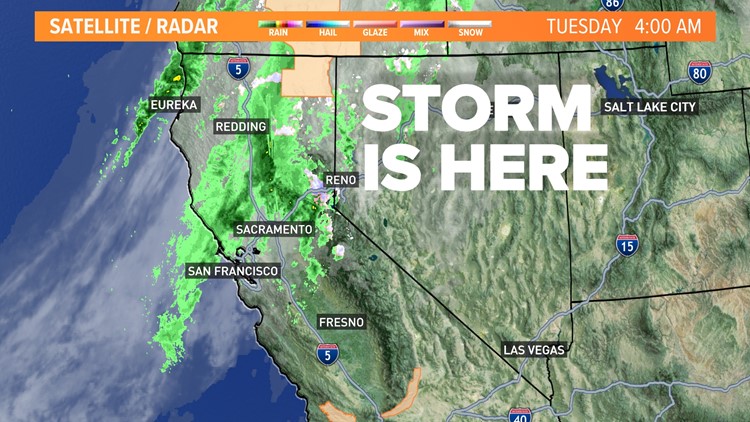
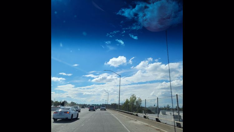
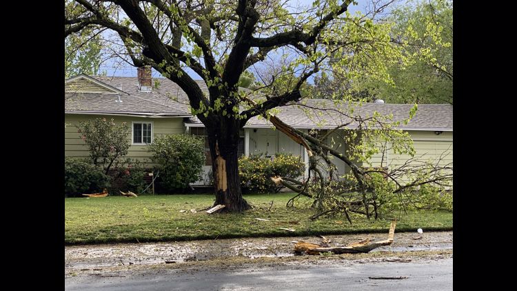
SACRAMENTO, Calif. — A warm storm is moving through Northern California with some historic impacts.
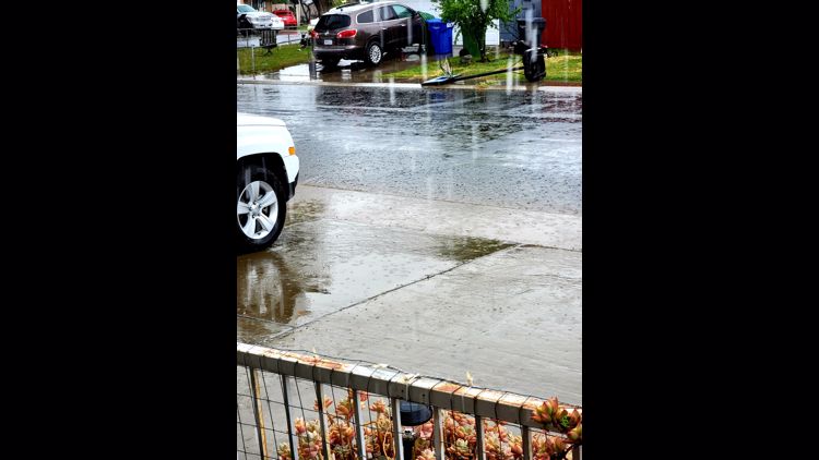
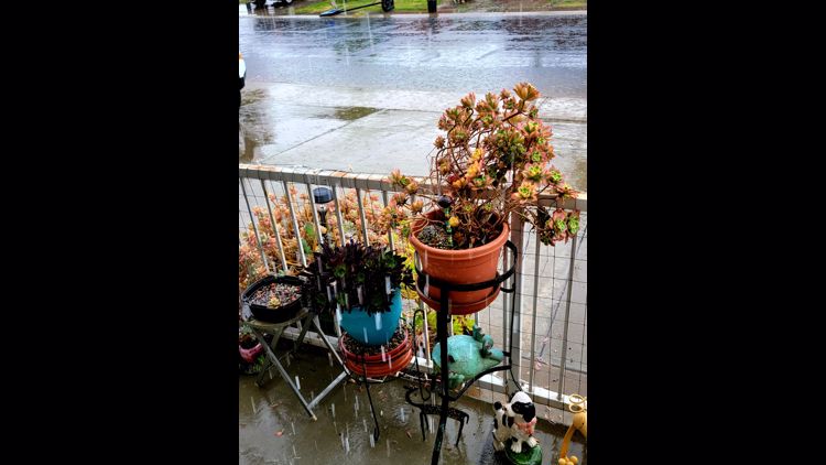
While the amount of rain and snow is on the lighter side, the fact that it's raining is important for areas of Northern California. At 2:30 a.m. Tuesday, light rain was recorded for the Downtown Sacramento location. This is the first rain since Jan. 7, at this location. It had been 66 consecutive days without rain during the rainy season, breaking a previous record of 52 dry winter days set in 2013-14.
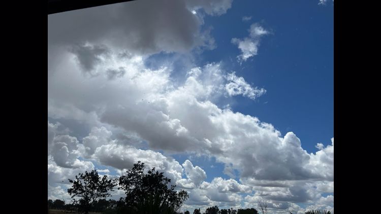
Light rain will fall the rest of the morning and areas will start to see the rain taper later in the morning and early afternoon. Some pop up showers and thunderstorms are possible late in the day before sunset.
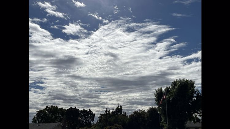
In between rain chances, most of the area will see a mix of sun and clouds and a humid day with highs near 70 degrees.
STORM RESOURCES:
► FORECAST DETAILS | Check out our hourly forecast and radar pages.
► GET WEATHER ALERTS TO YOUR PHONE | Download the ABC10 mobile app
► WEATHER IN YOUR EMAIL | Sign up for the Daily Blend Newsletter
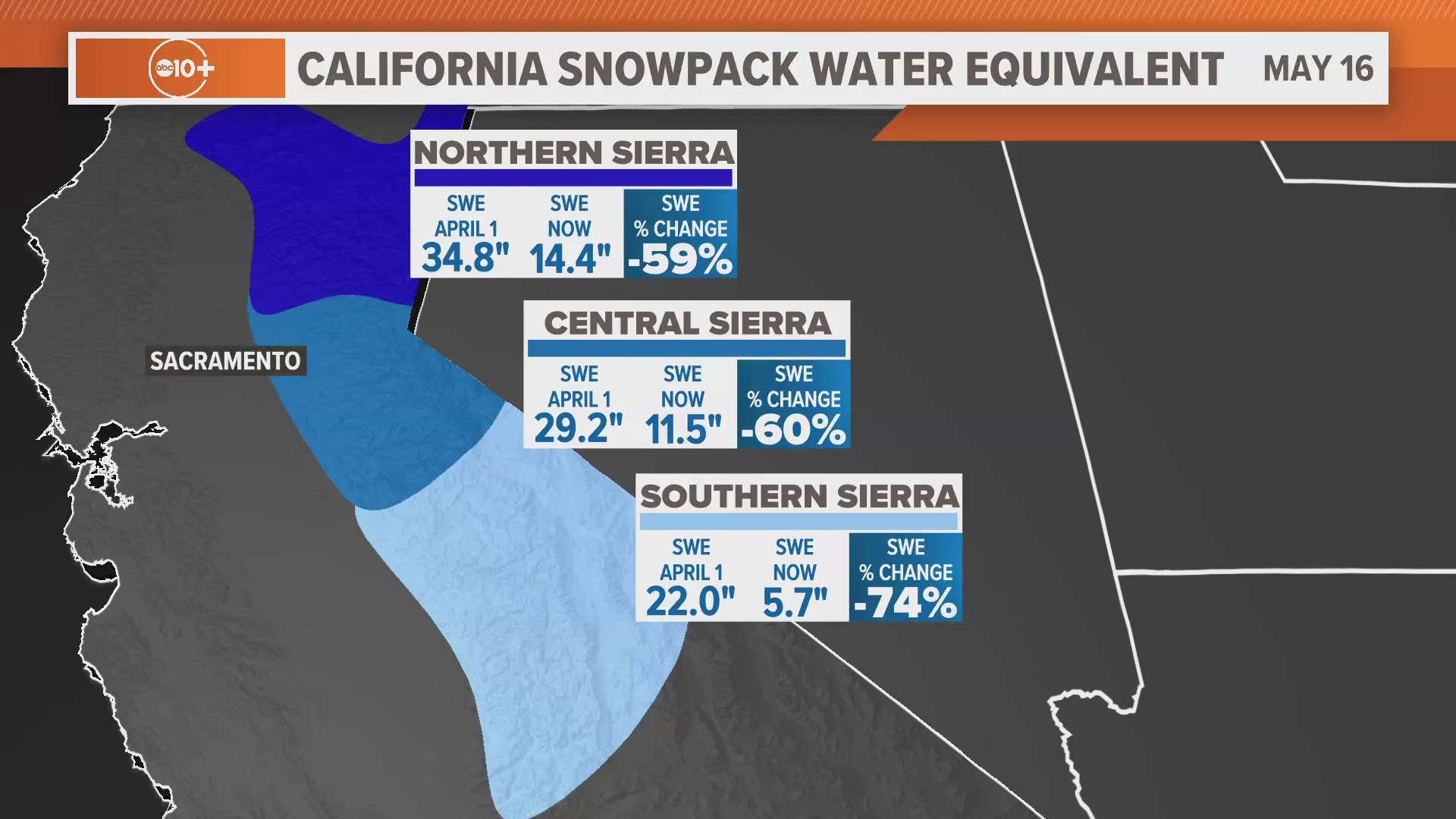
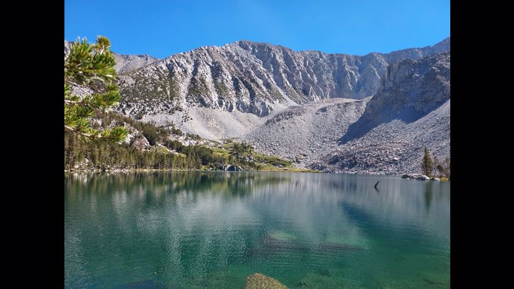
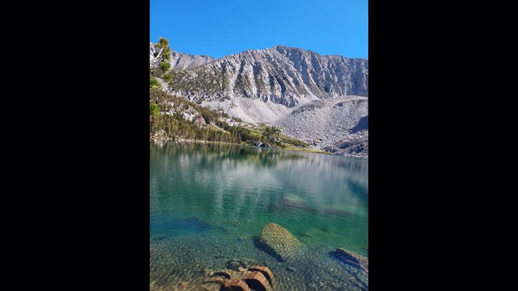
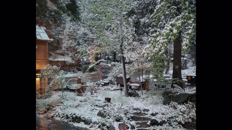
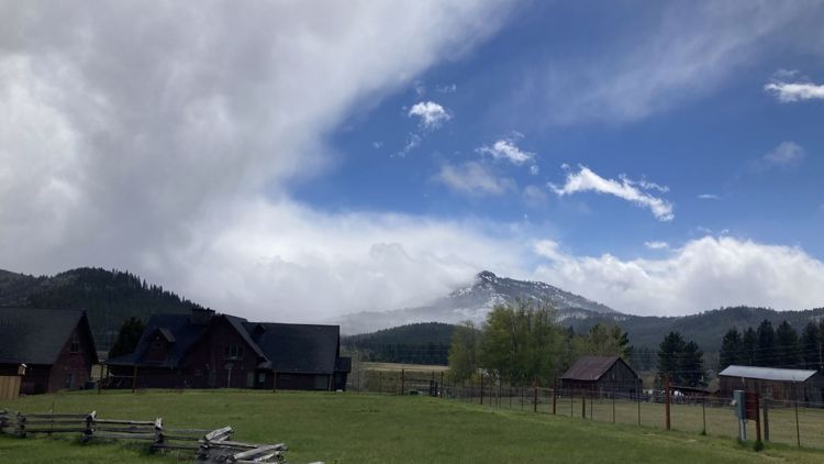
The Sierra will be challenged to get much snow since the storm is warm. Resorts could get 4 - 6 inches of snow above 8,000 feet or snow with the lowest snow levels hovering around 7,000 feet at times.
The storm is clear by Wednesday with another new storm set to arrive Saturday.
READ MORE FROM ABC10:
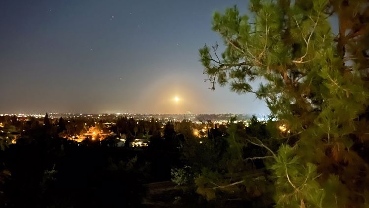
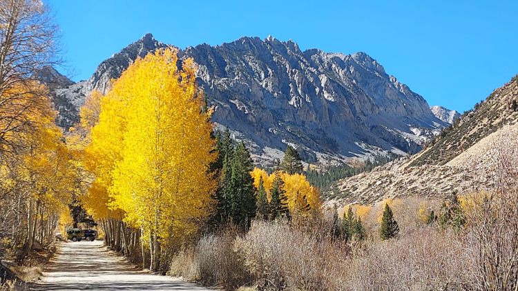
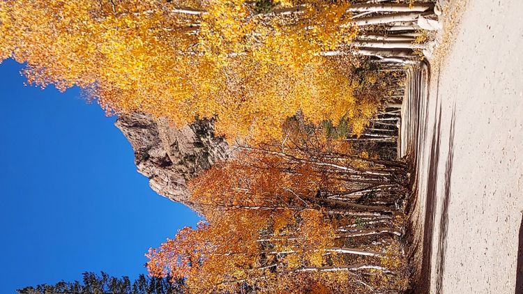
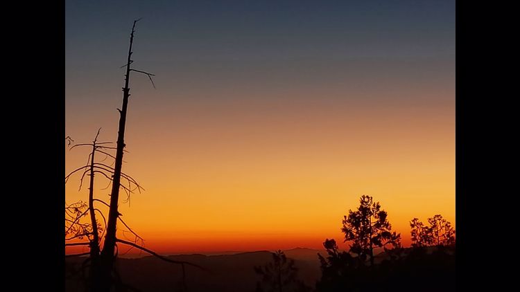
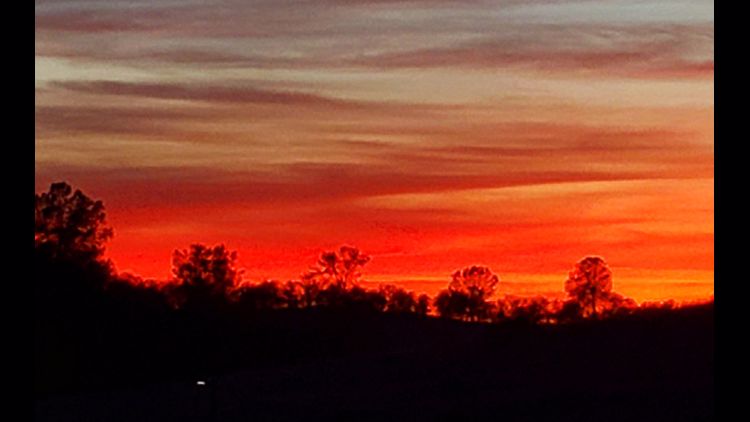
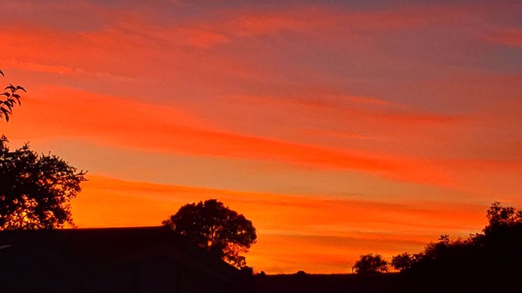
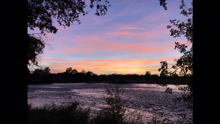
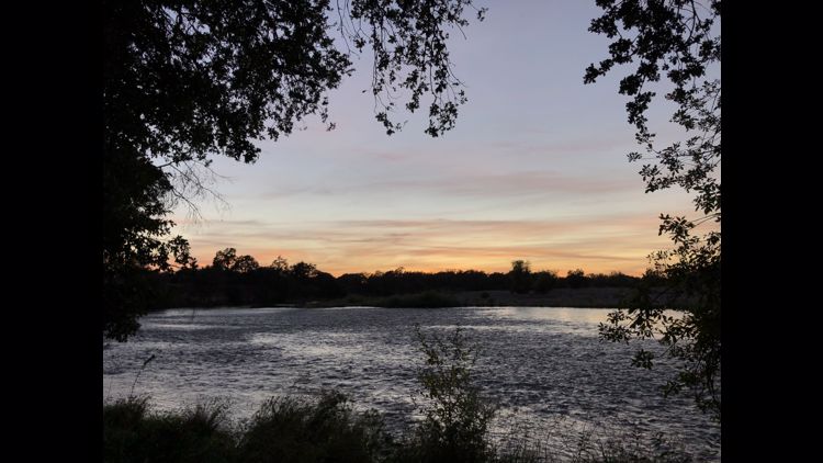
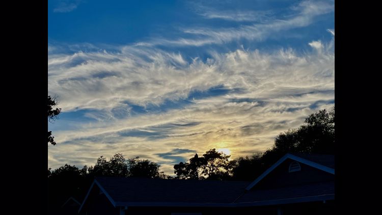
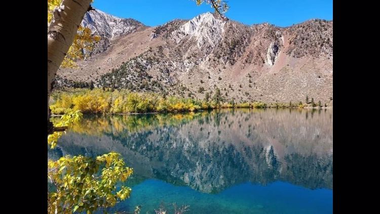
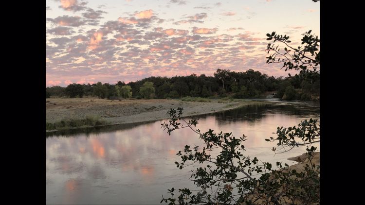
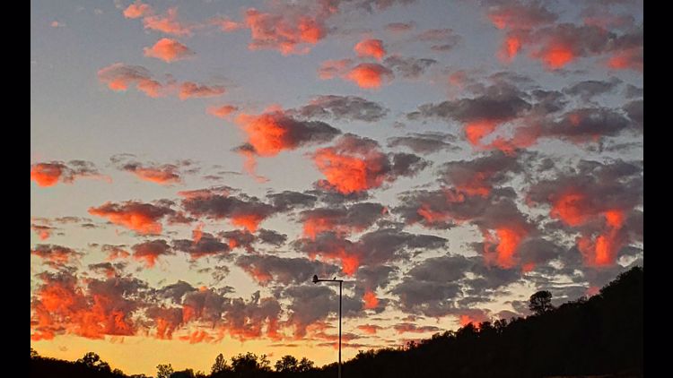
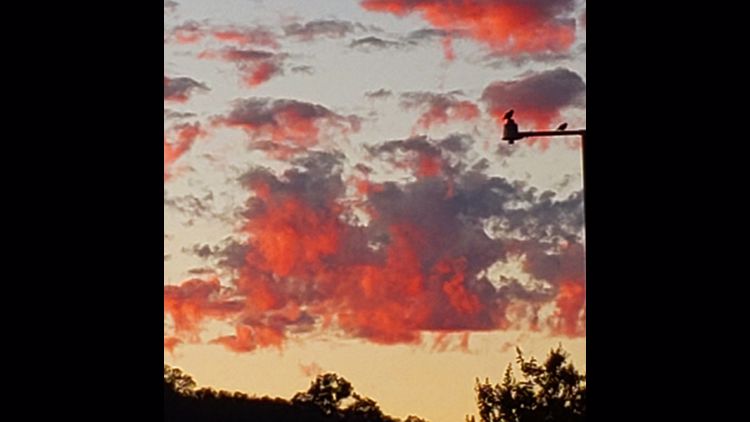
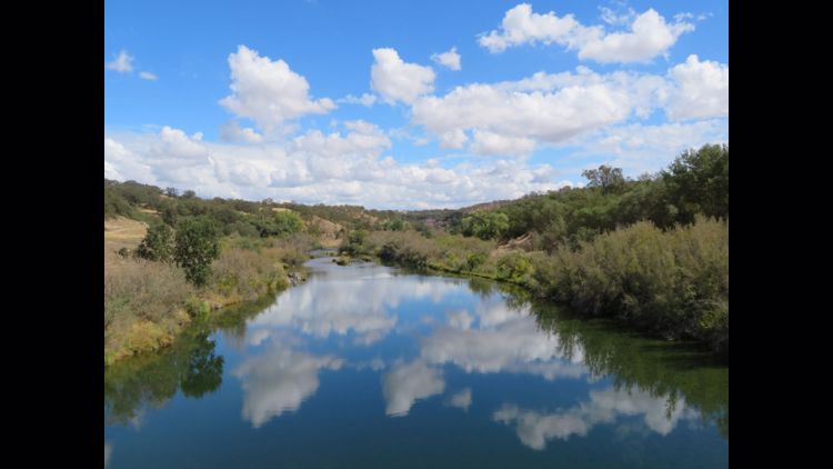
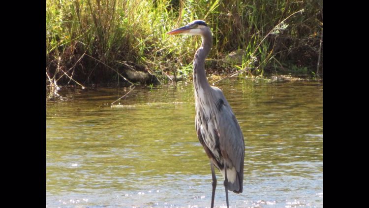
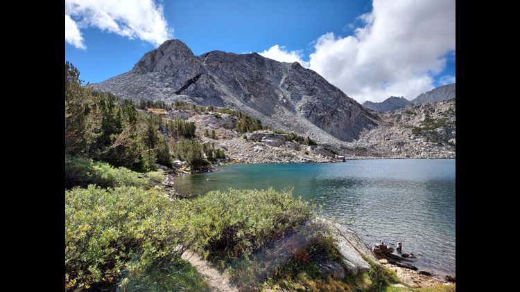
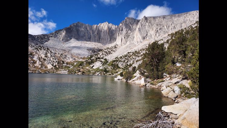
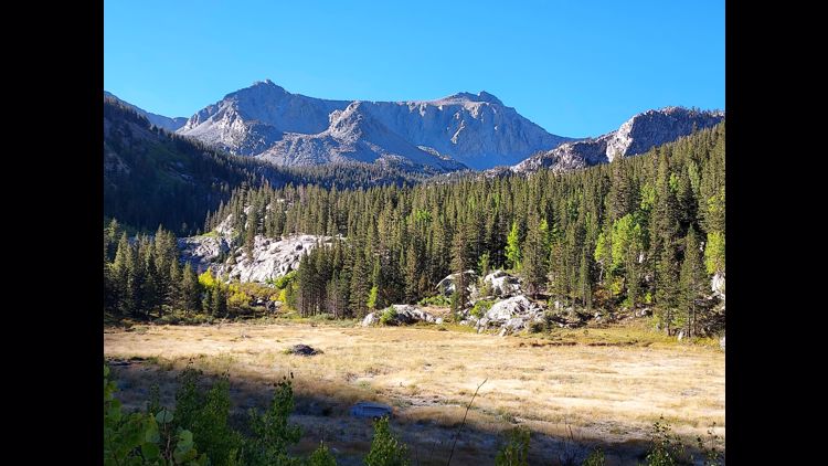
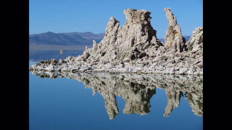
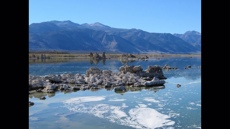
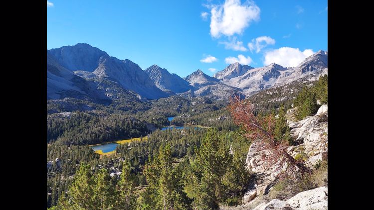
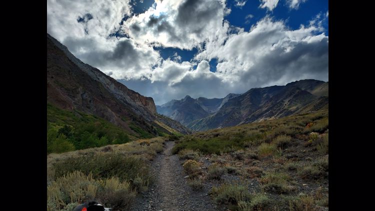
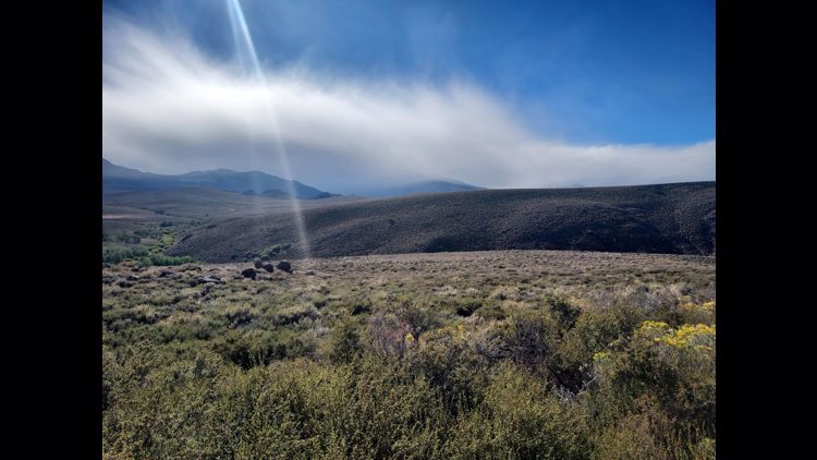
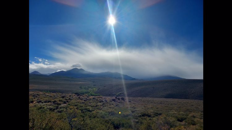
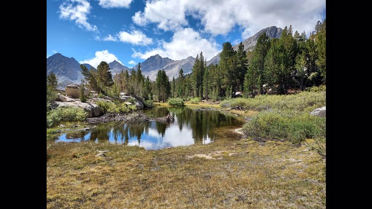
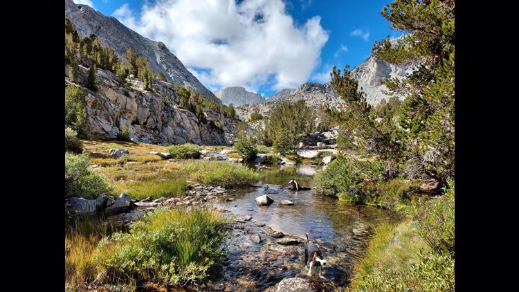
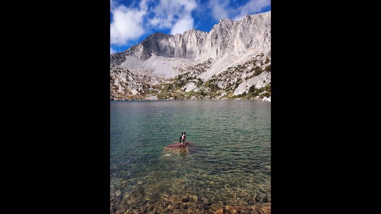
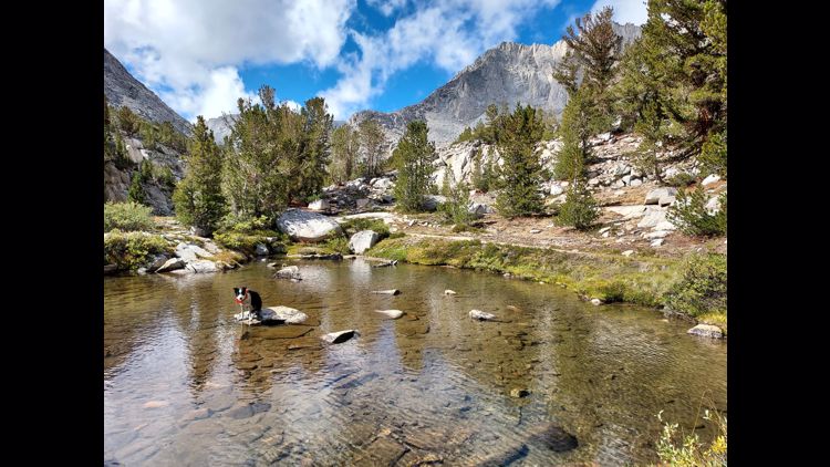
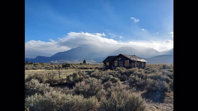
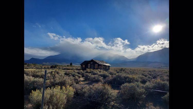
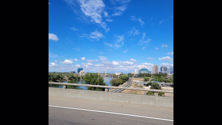
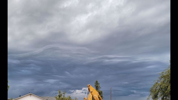
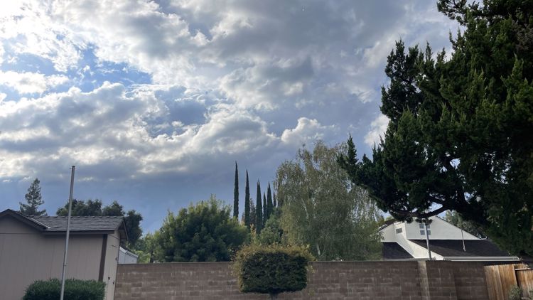
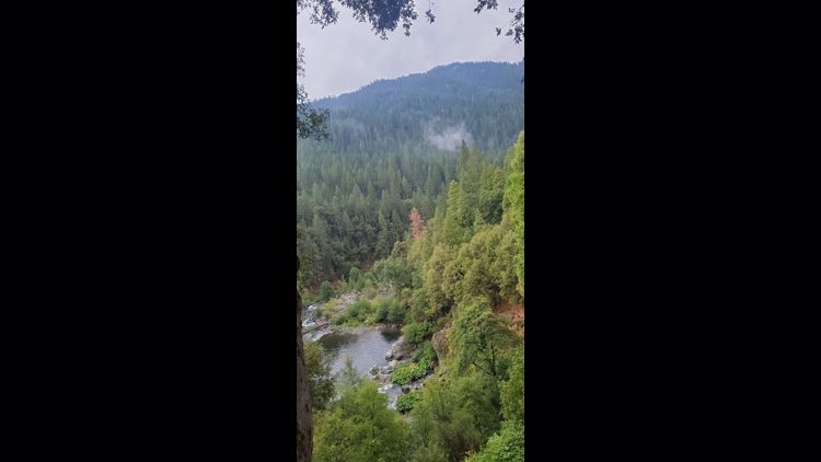
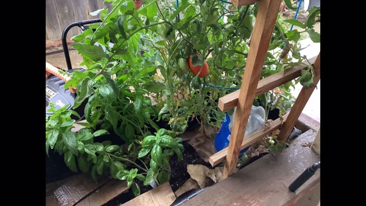
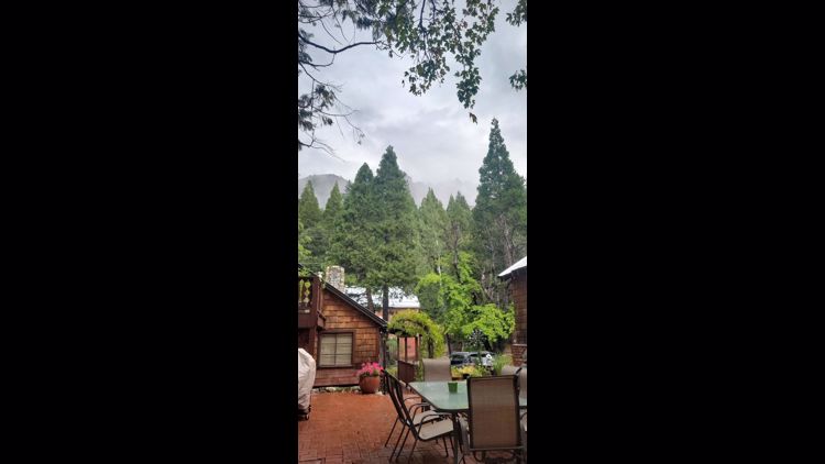
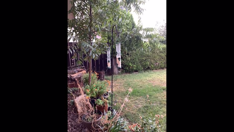
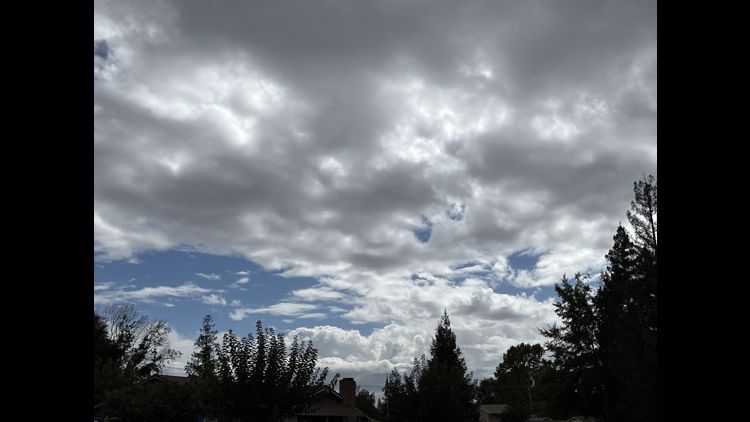
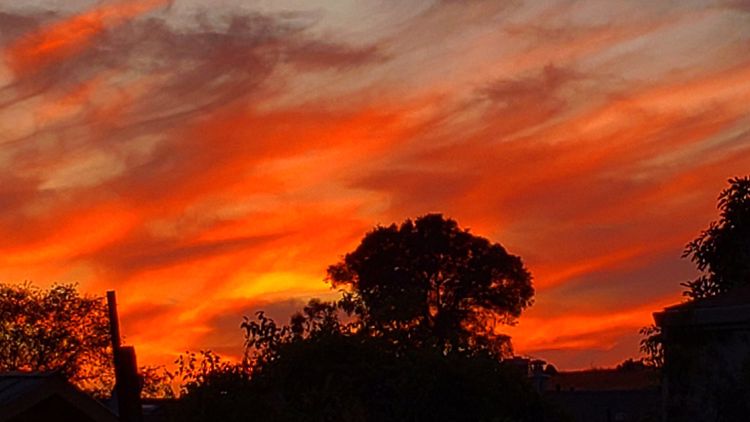
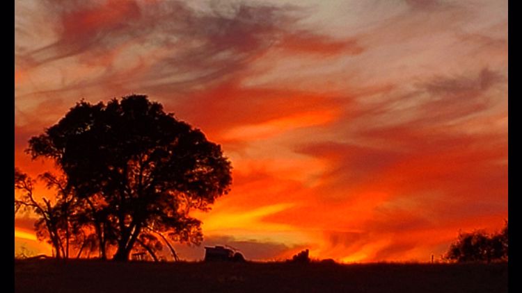
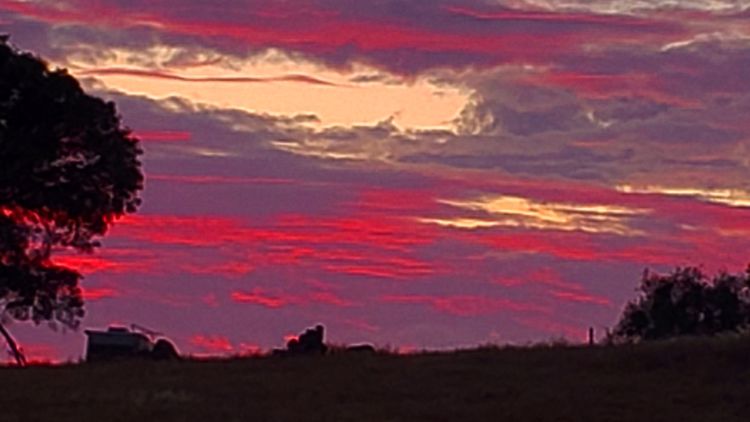
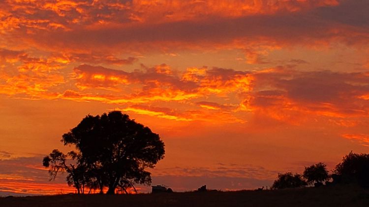
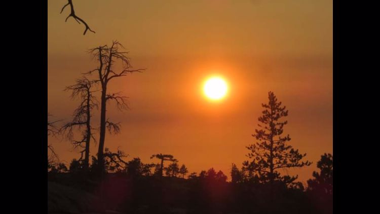
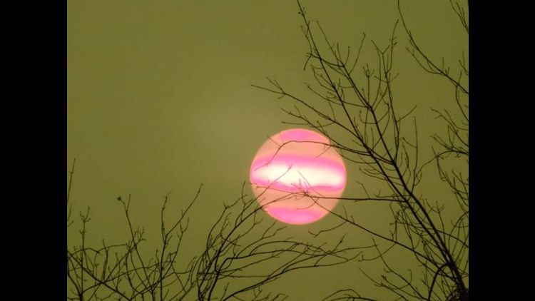
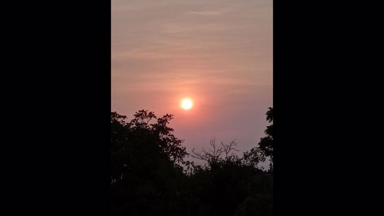
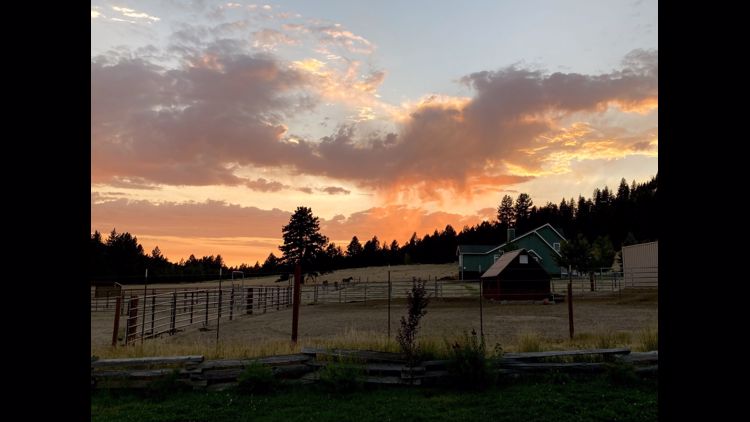
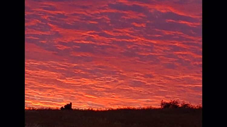
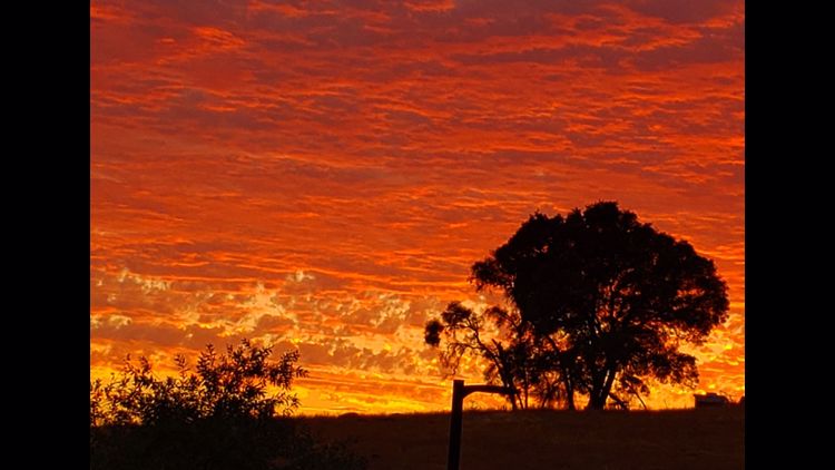
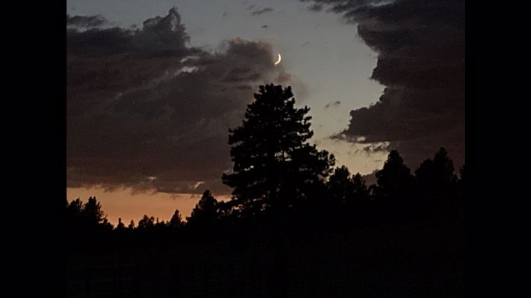
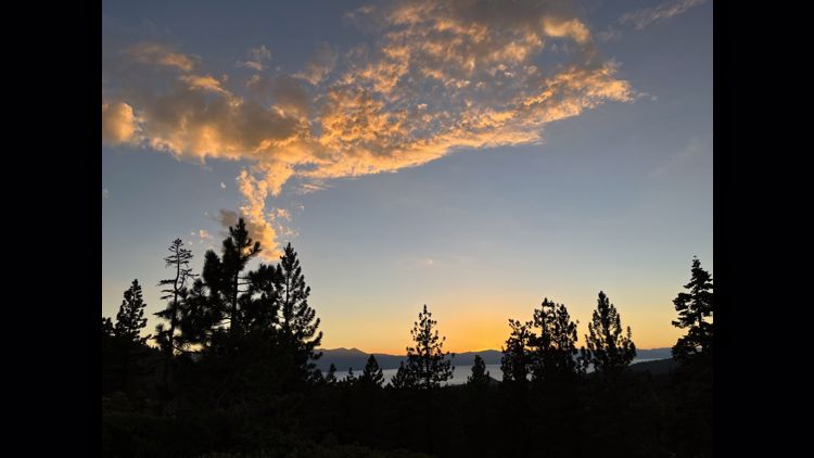
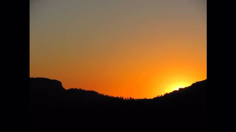
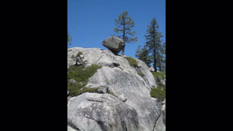
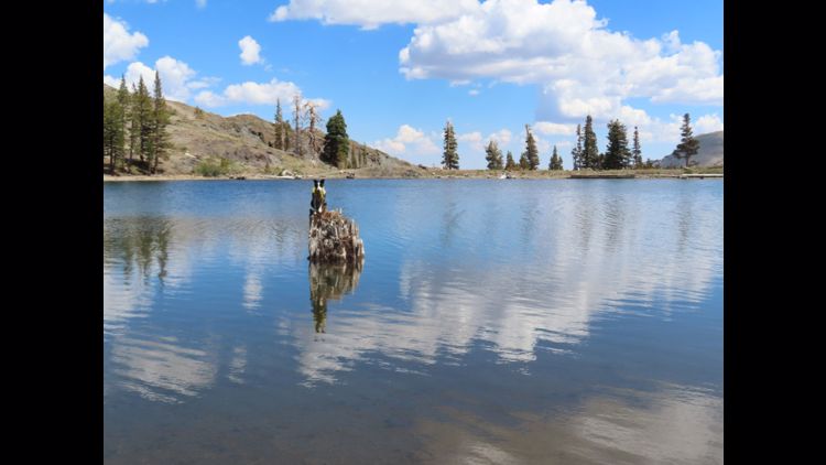
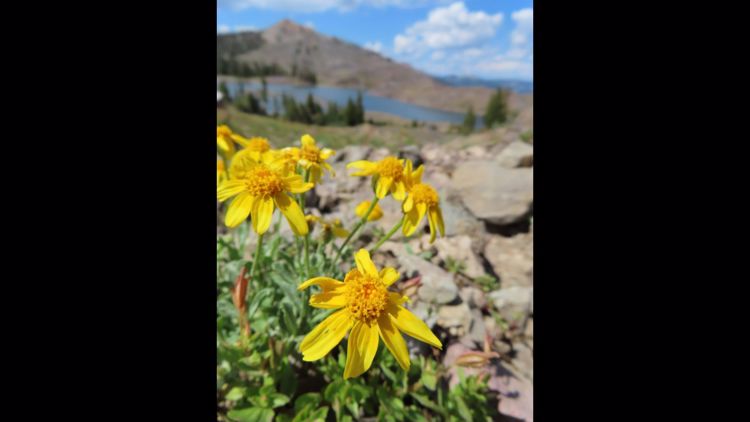
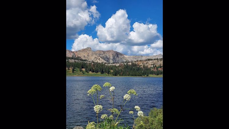
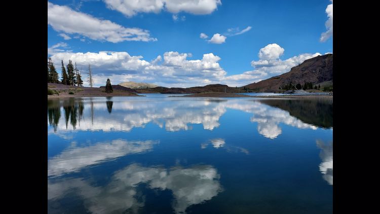
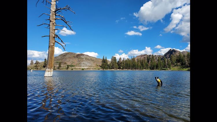
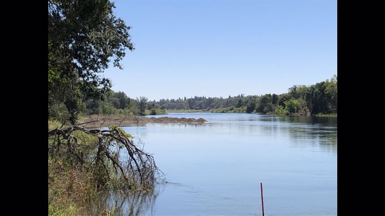
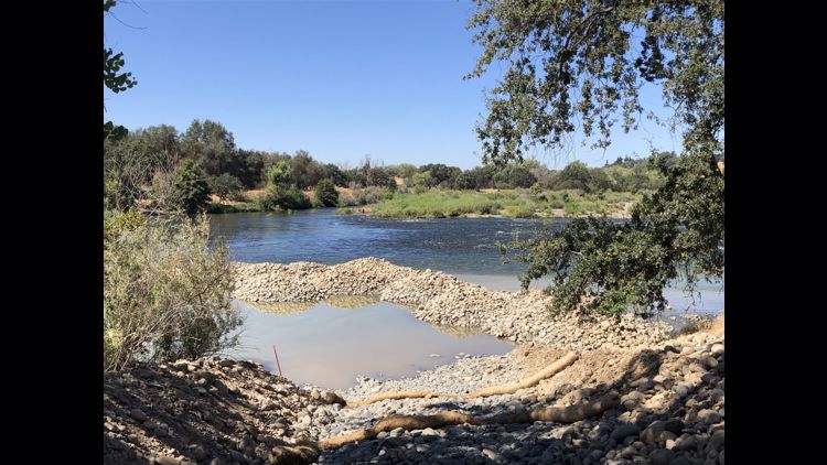
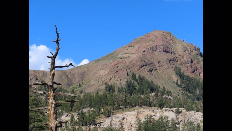
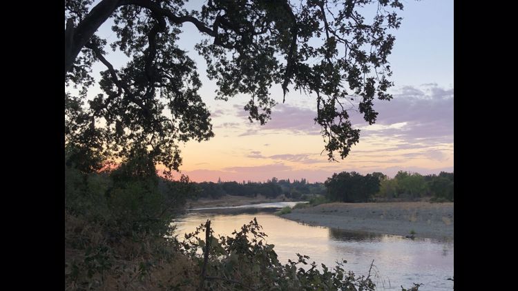
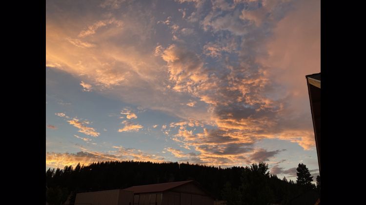
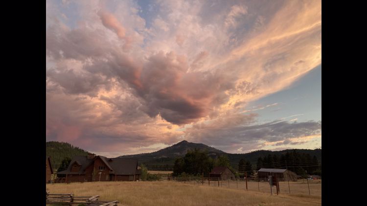
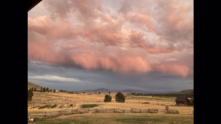
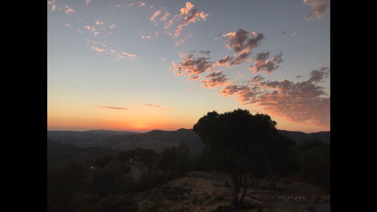
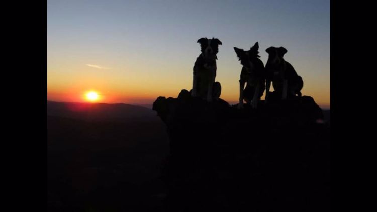
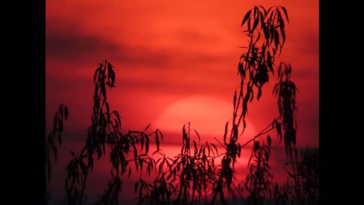
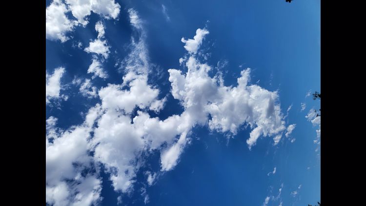
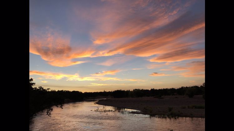
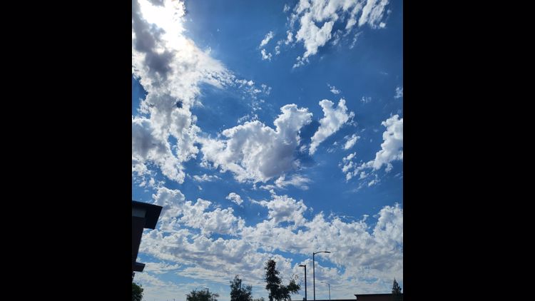
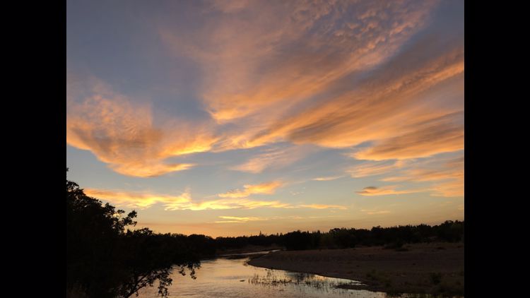
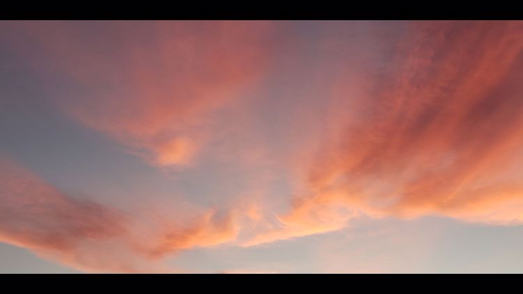
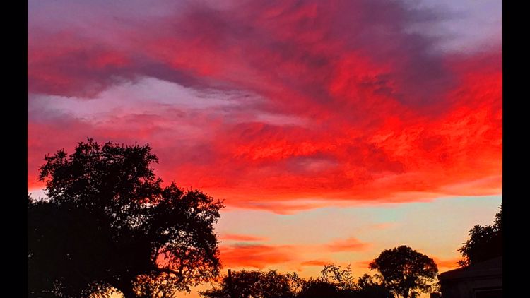
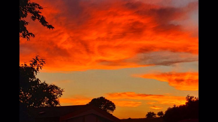
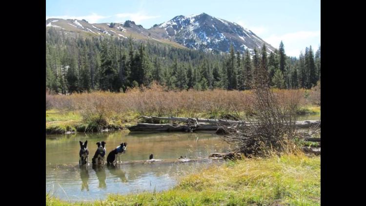
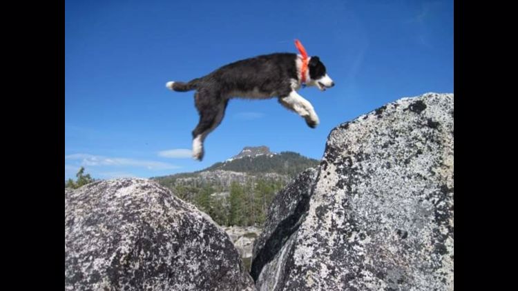
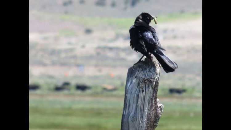
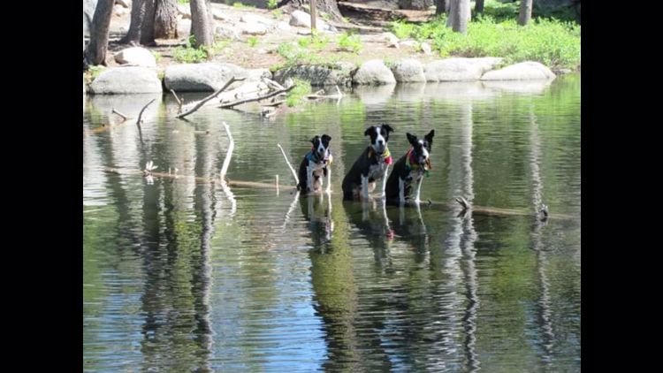
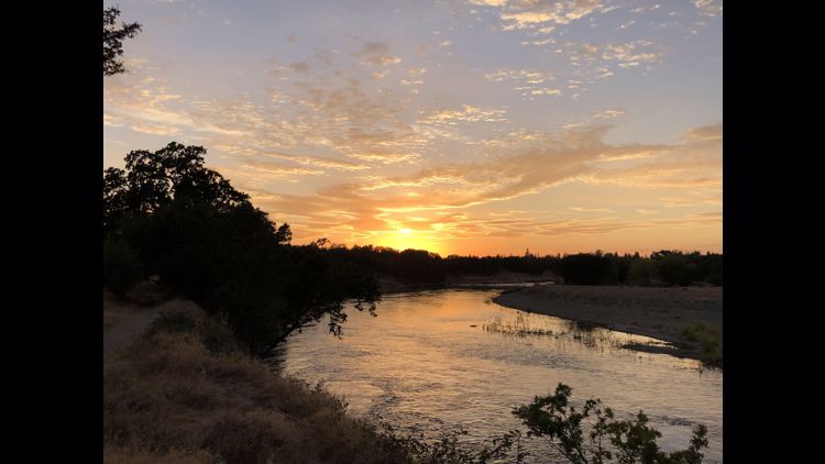
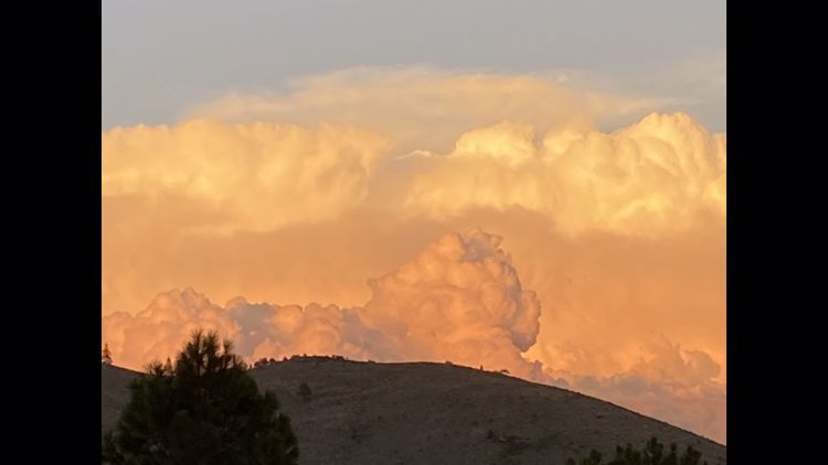
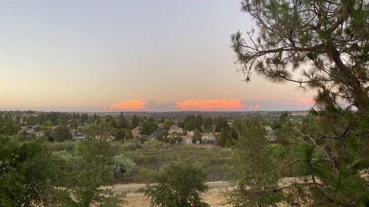
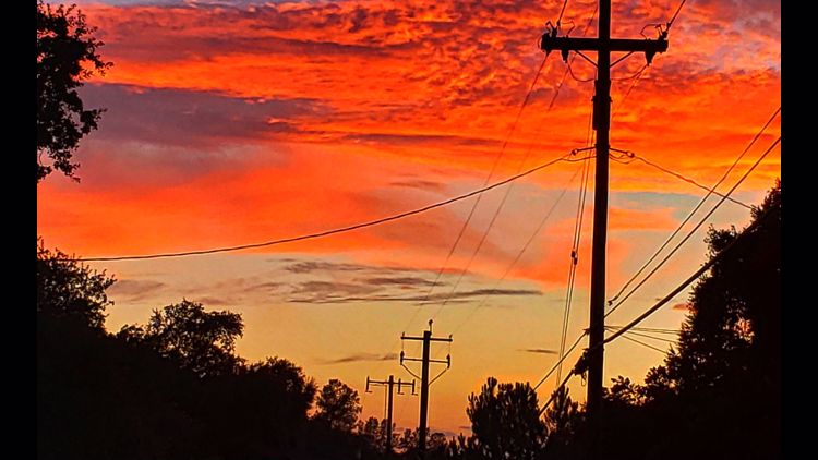
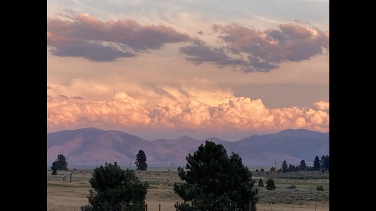
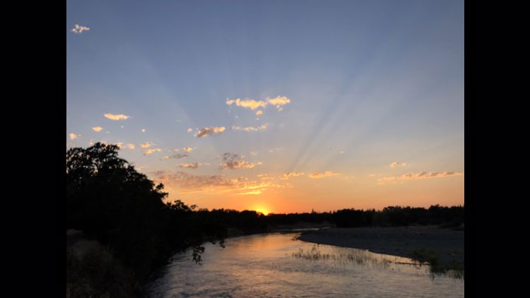
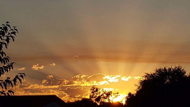
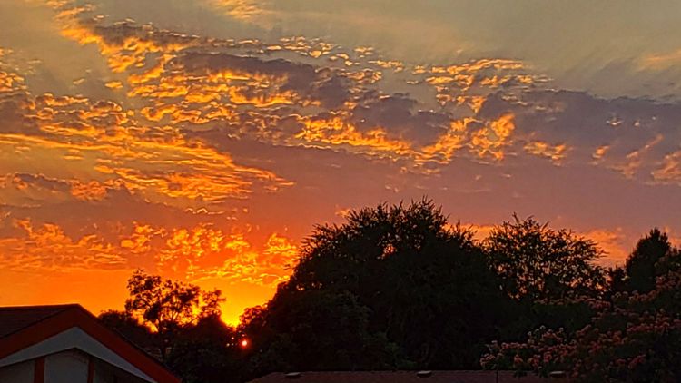
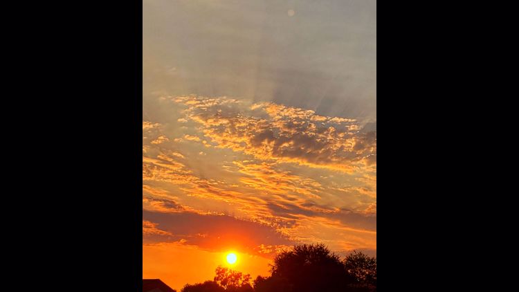
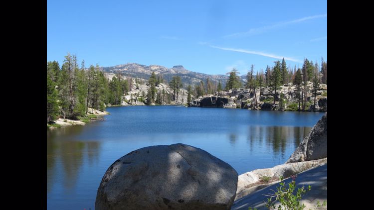
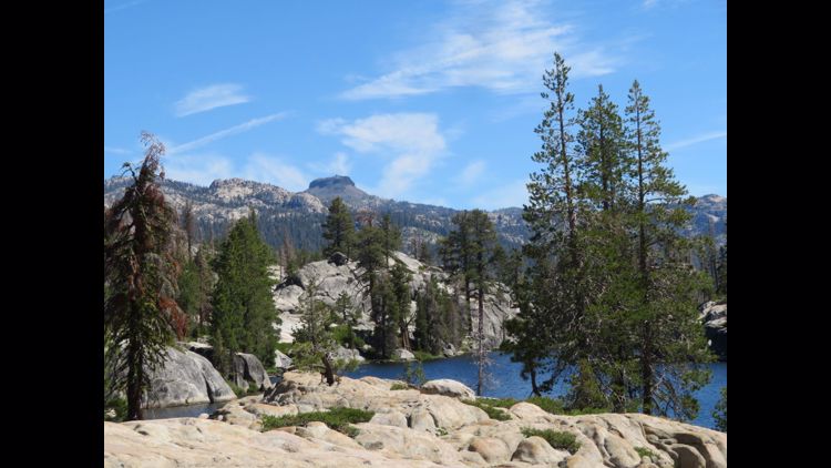
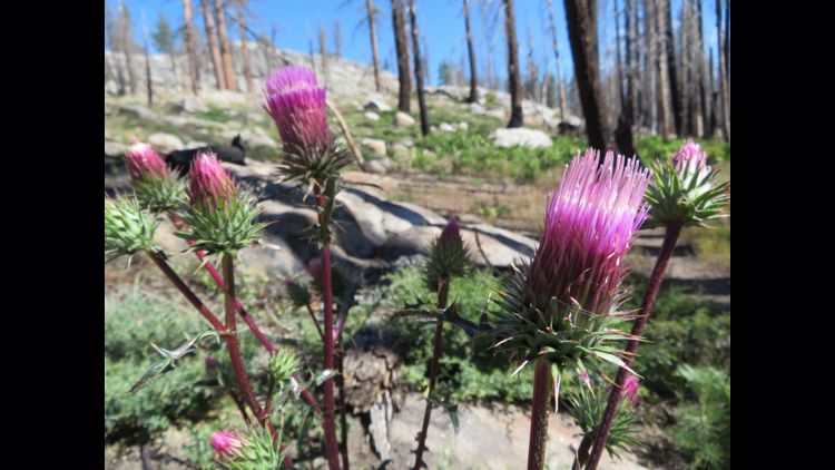
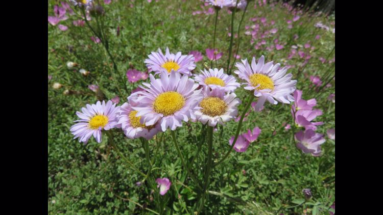
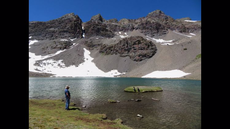
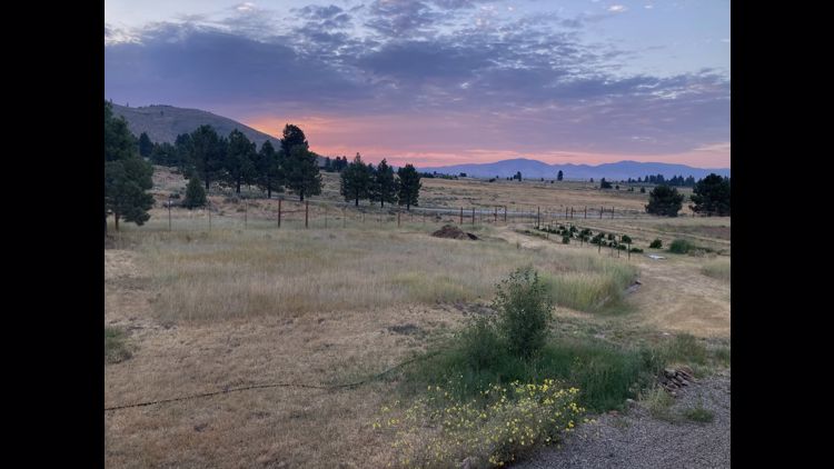
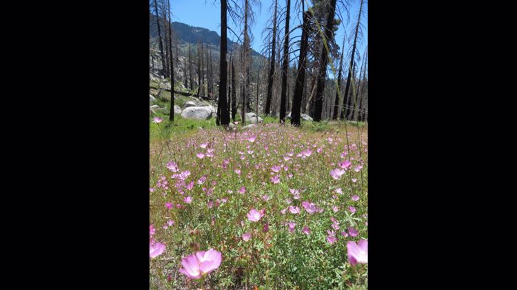
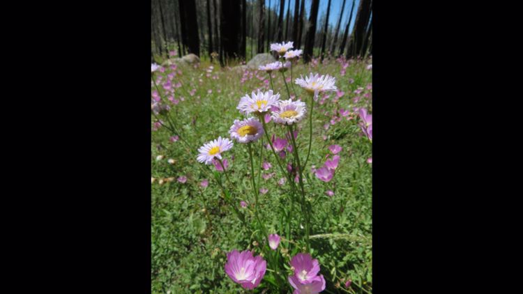
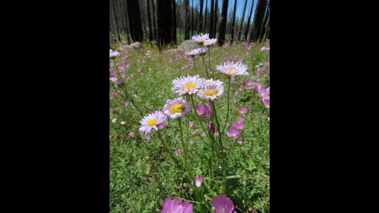
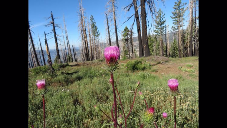
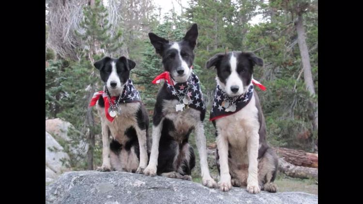
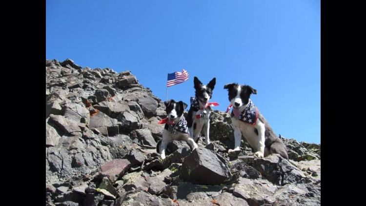
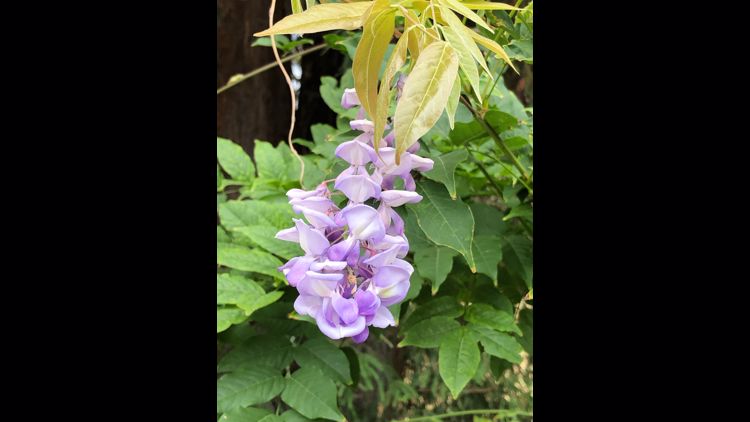
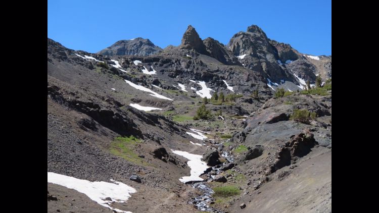
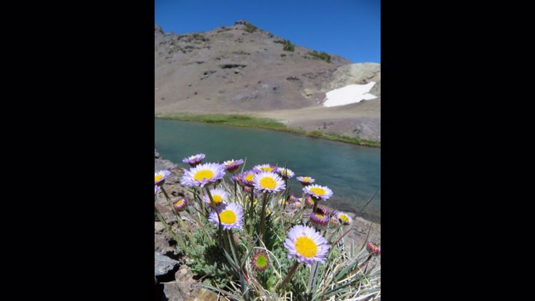
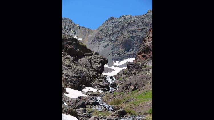
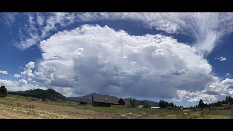
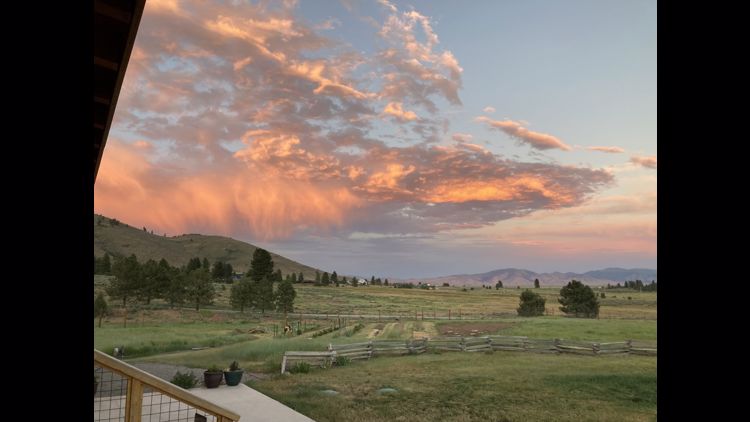
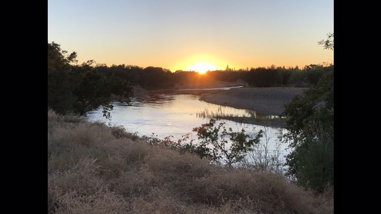
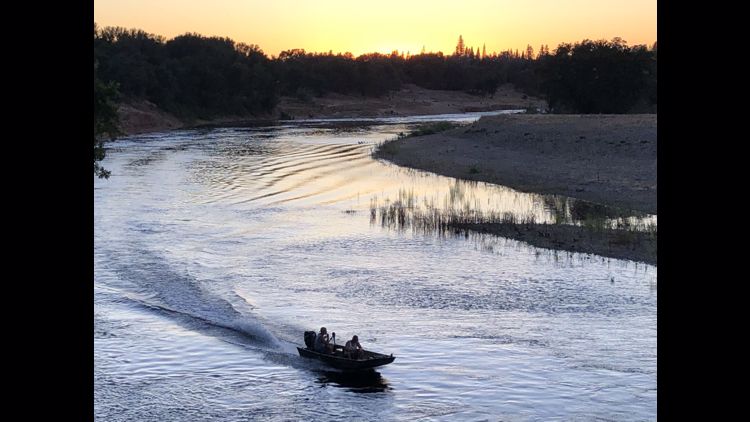
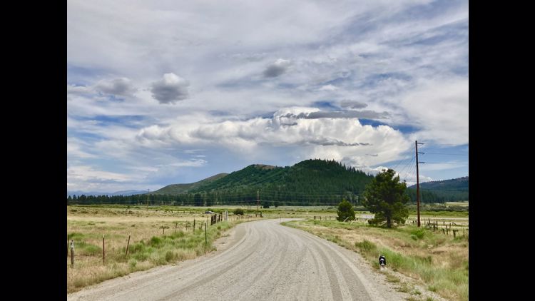
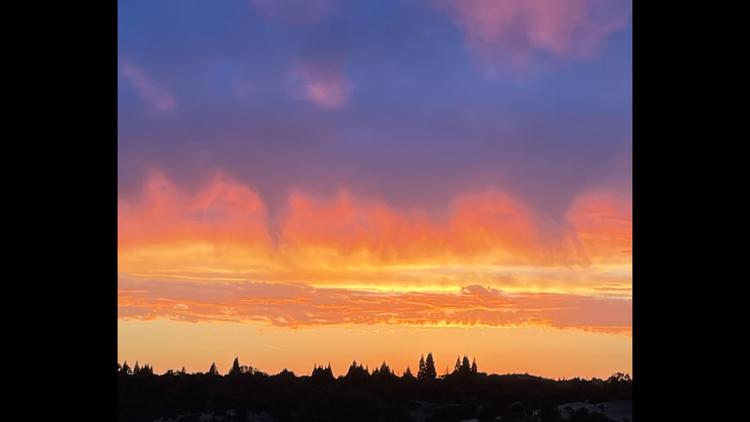
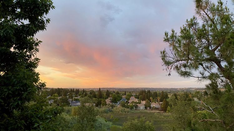
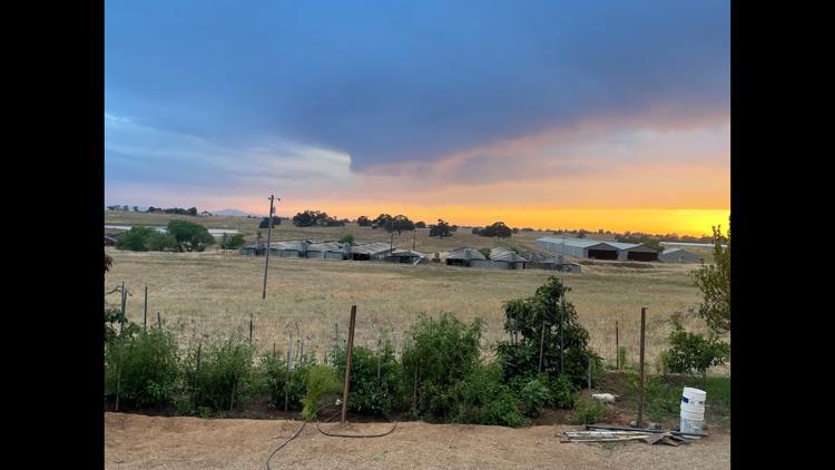
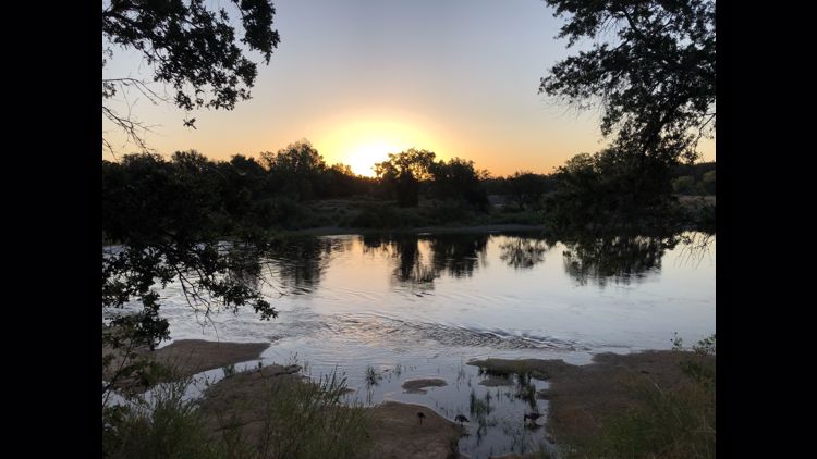
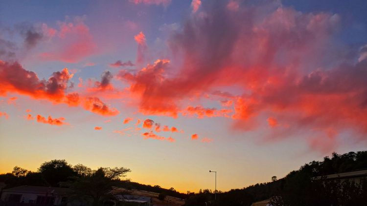
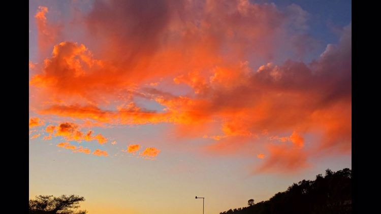
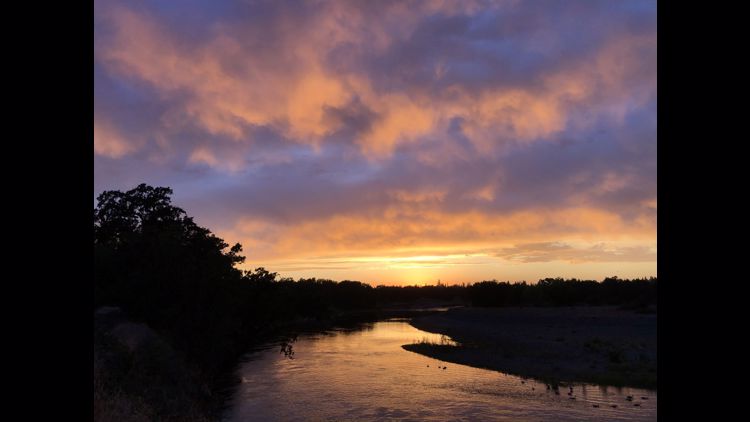
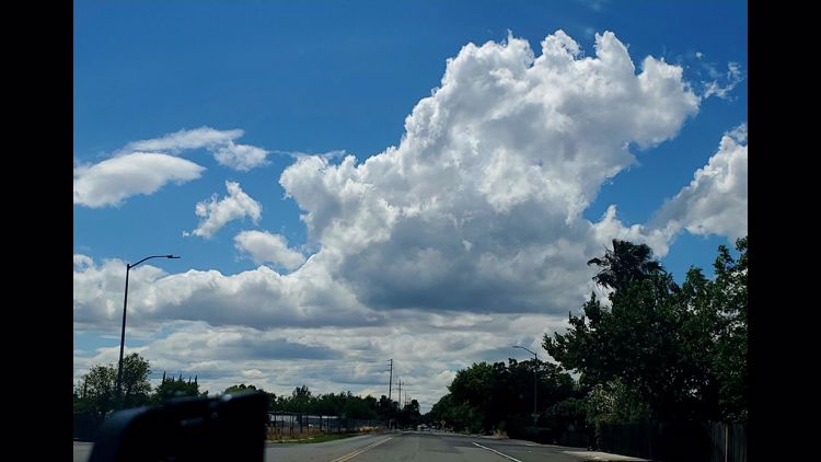
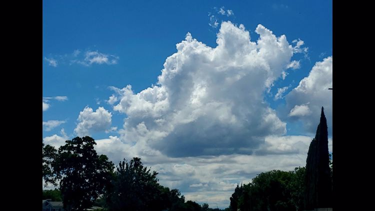
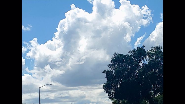
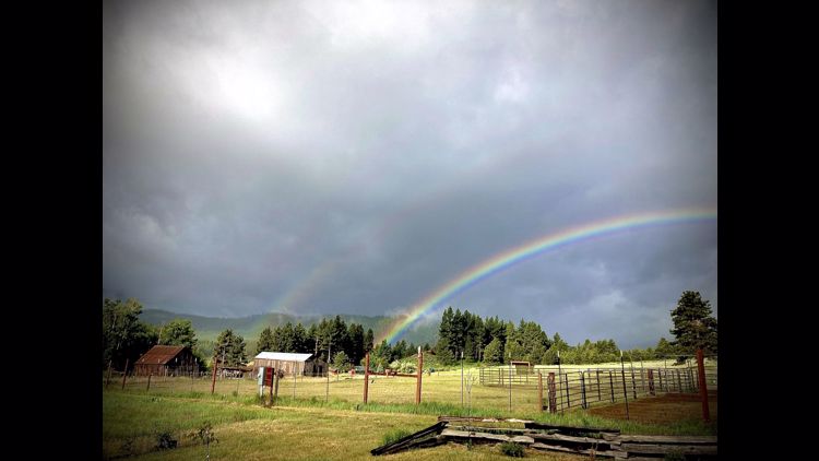
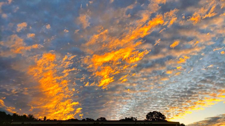
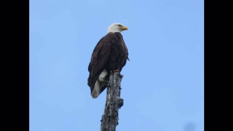
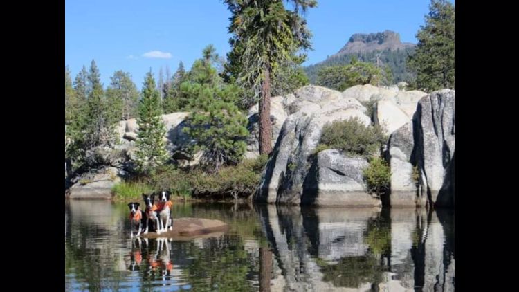
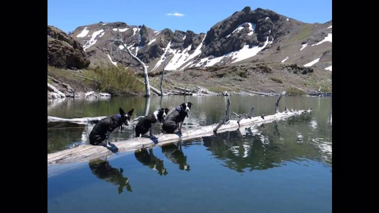
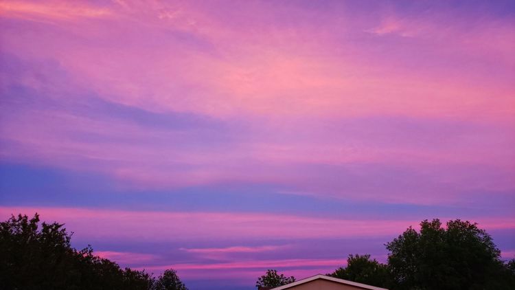
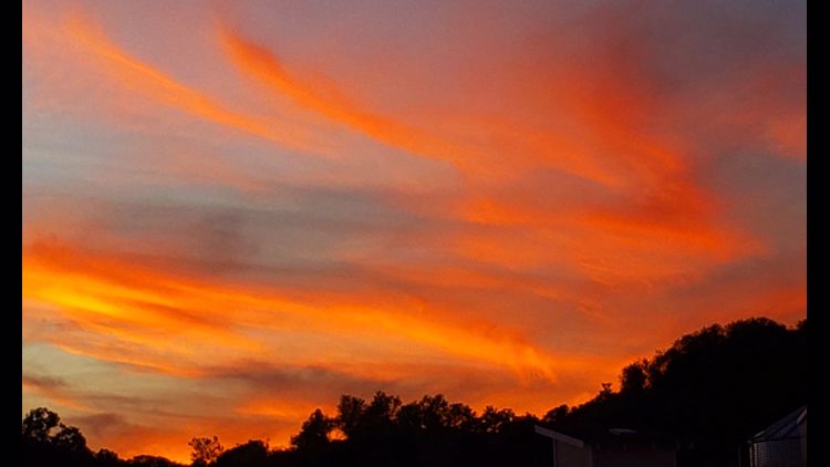
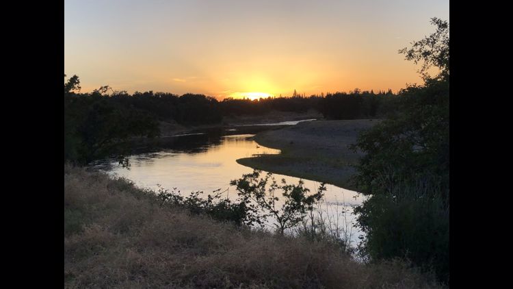
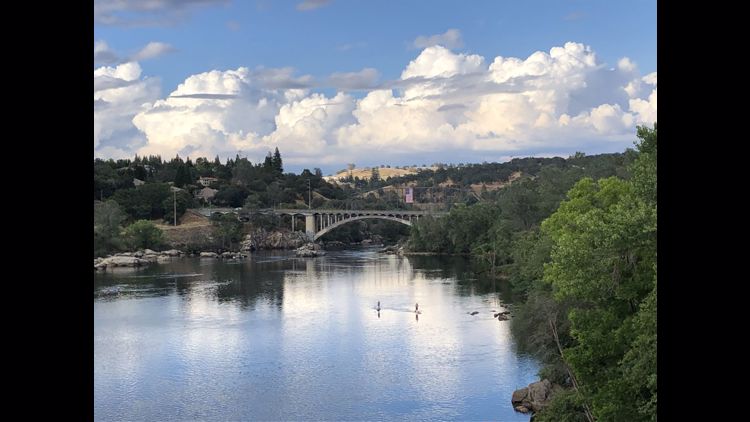
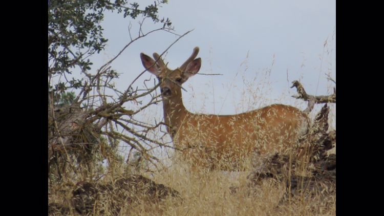
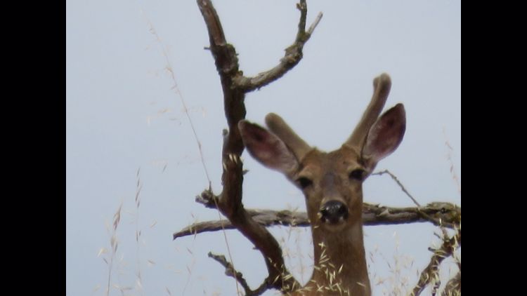
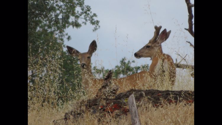
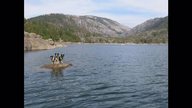
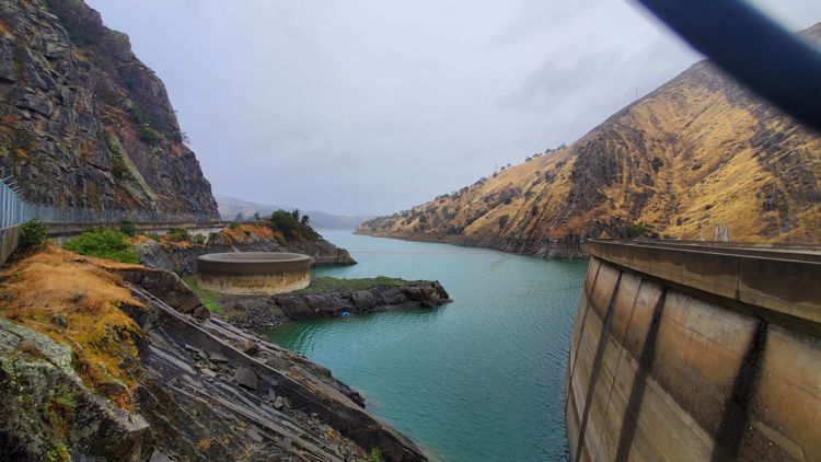
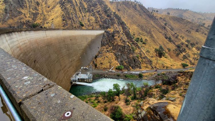
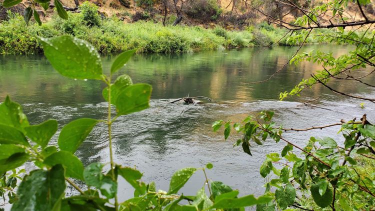
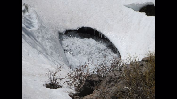
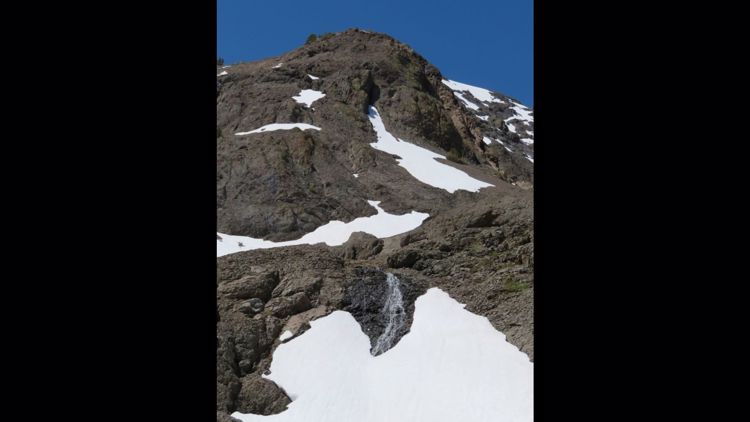
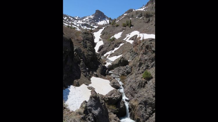
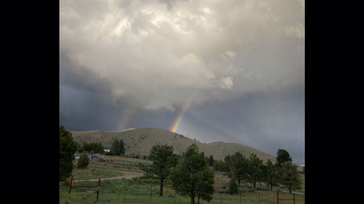
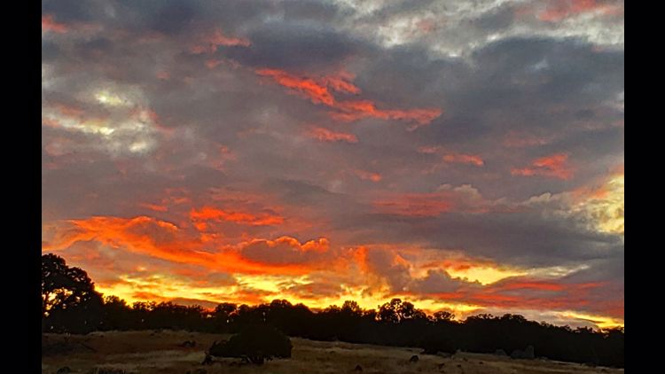
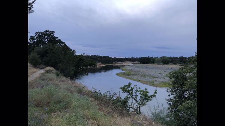
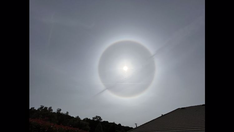
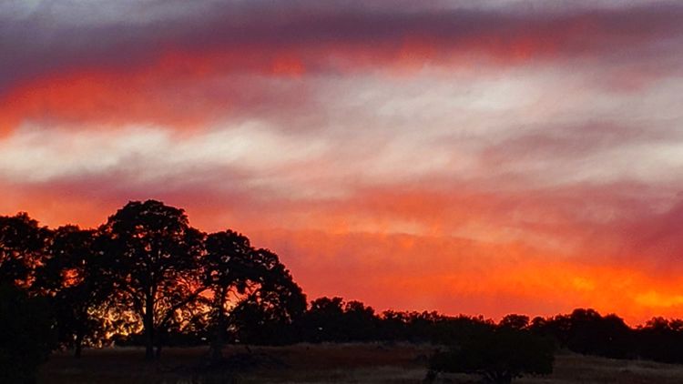
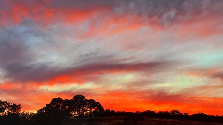
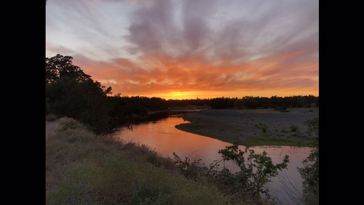
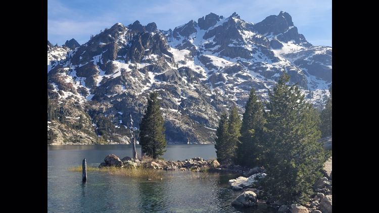
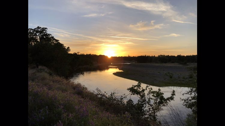
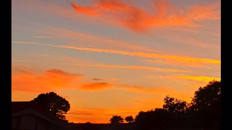
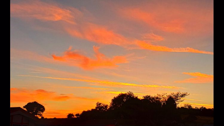
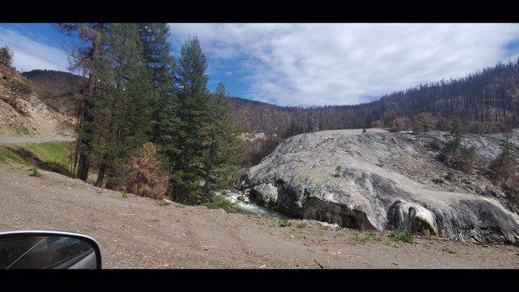
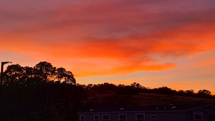
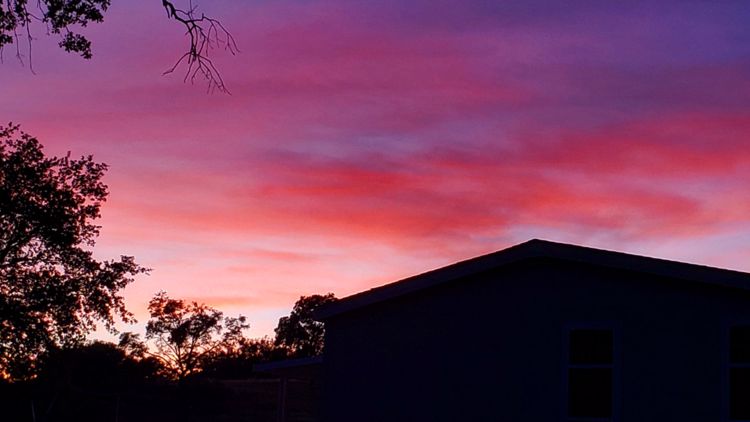
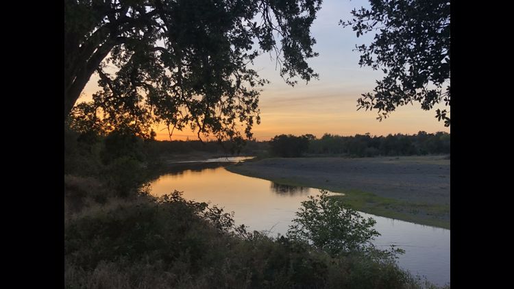
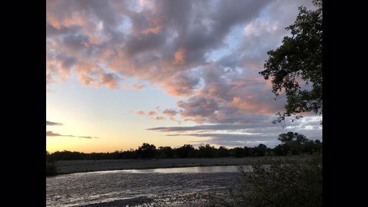
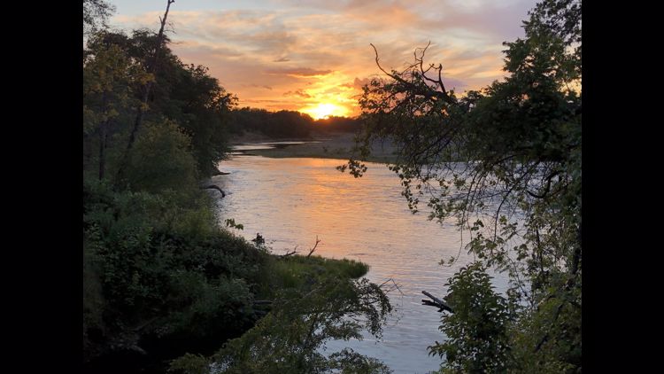
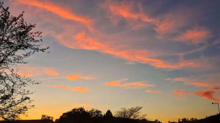
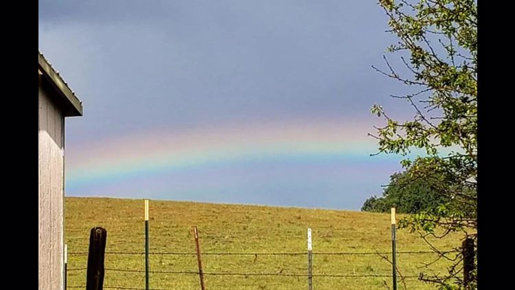
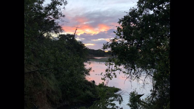
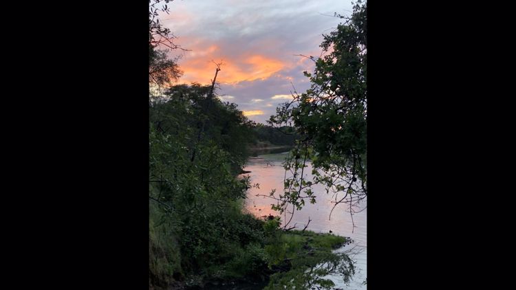
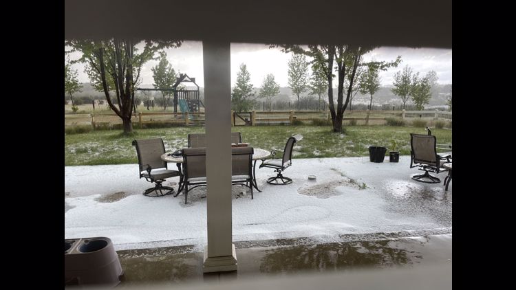
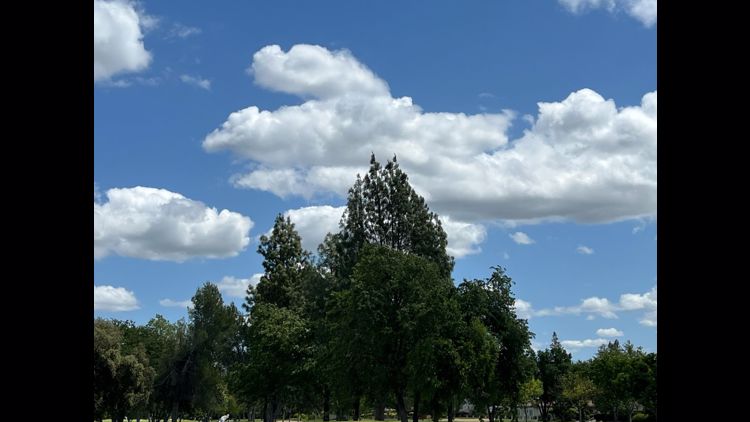
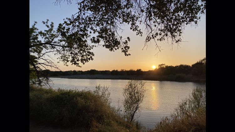
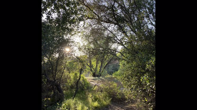
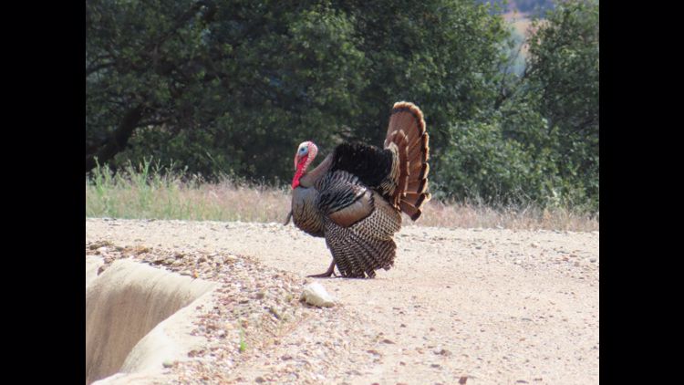
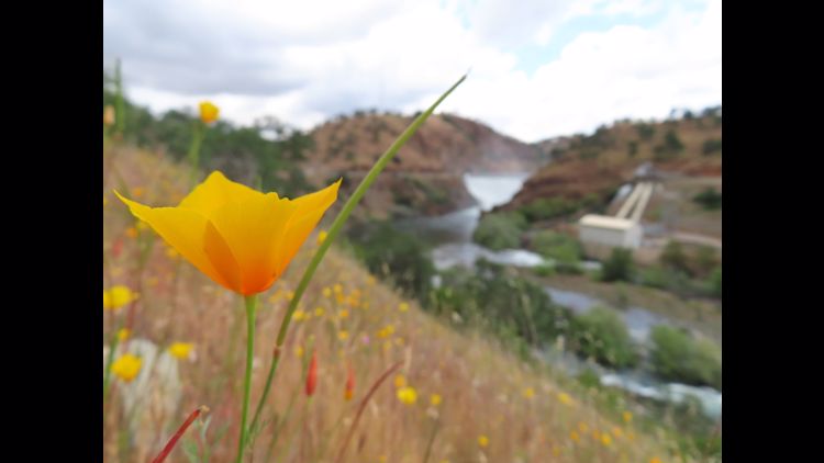
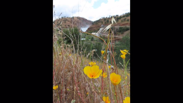
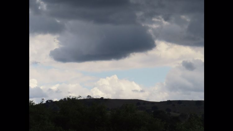
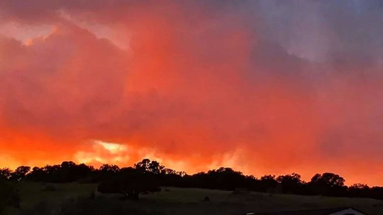
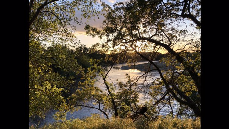
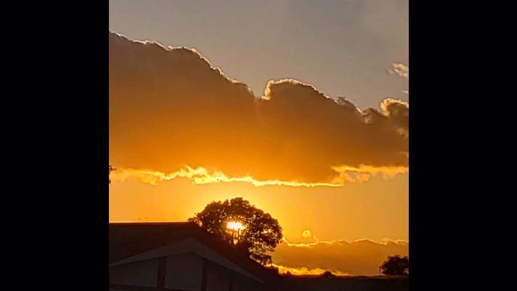
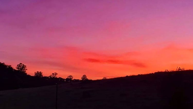
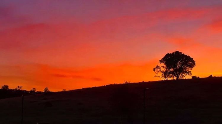
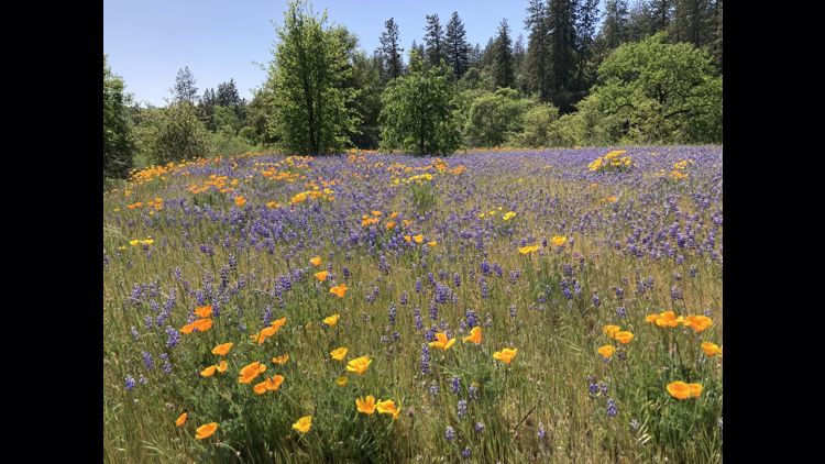
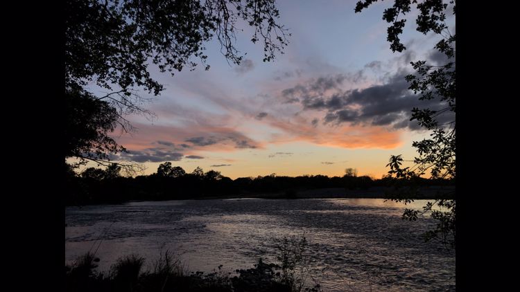
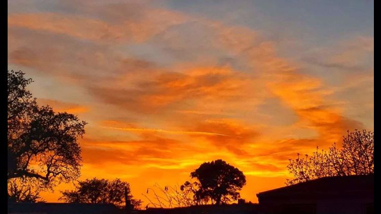
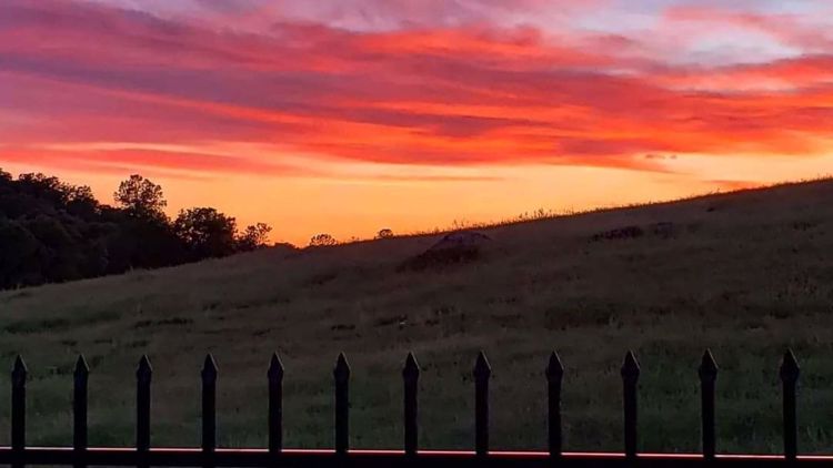
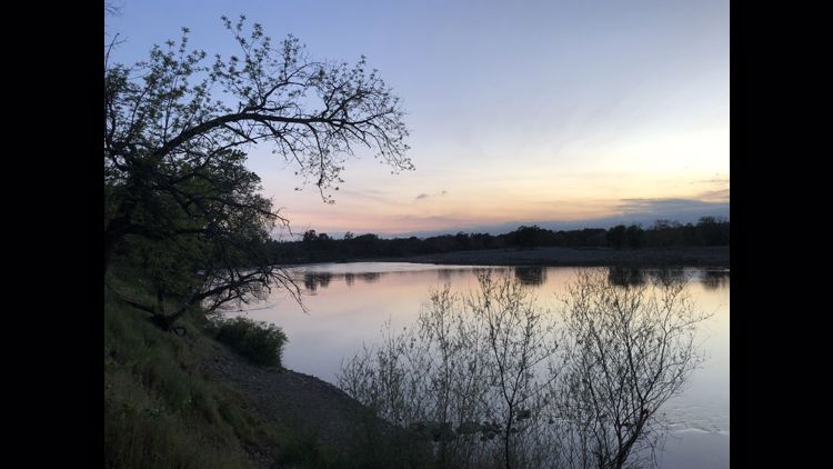
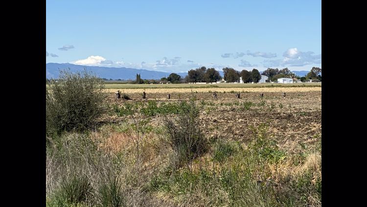
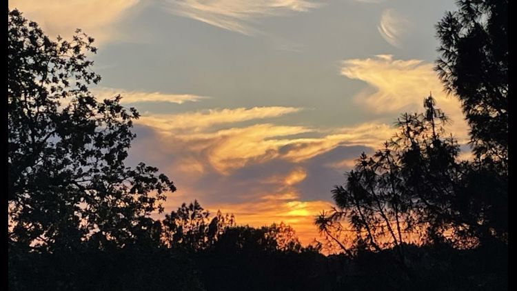
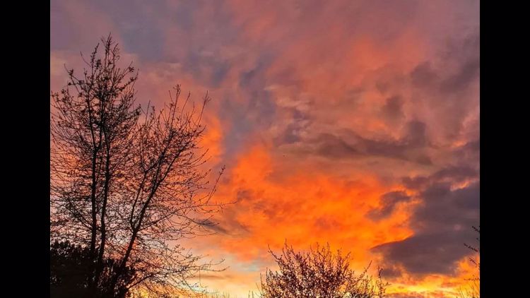
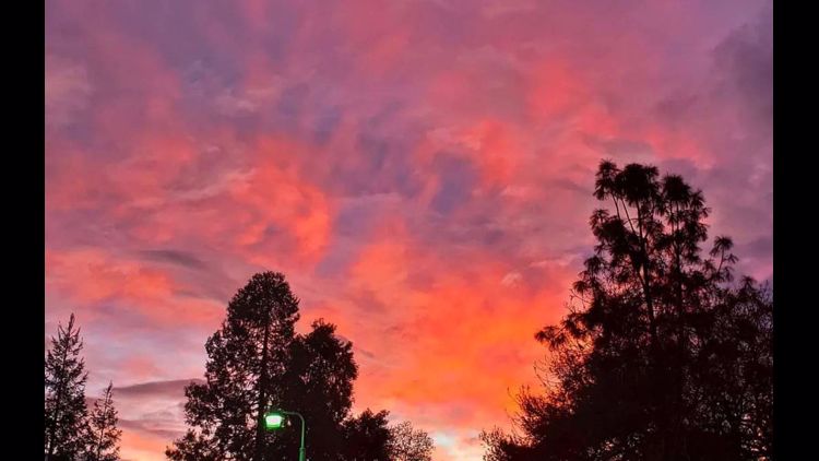
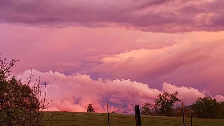
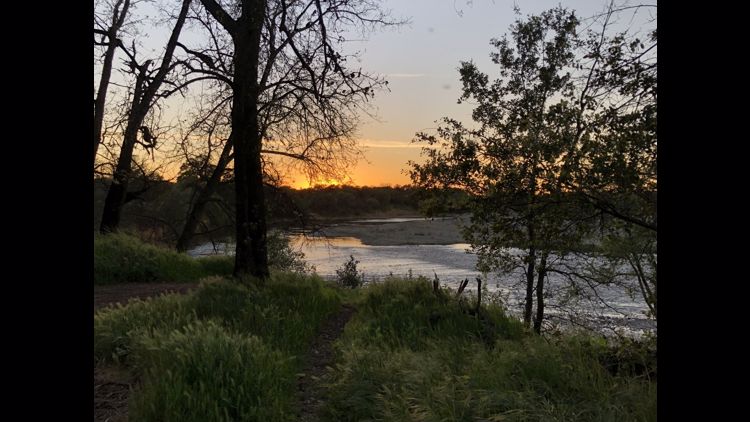
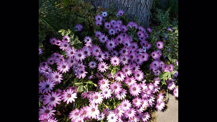
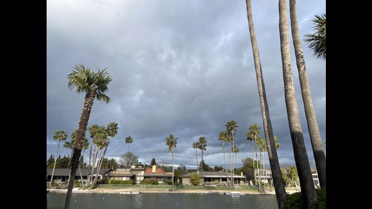
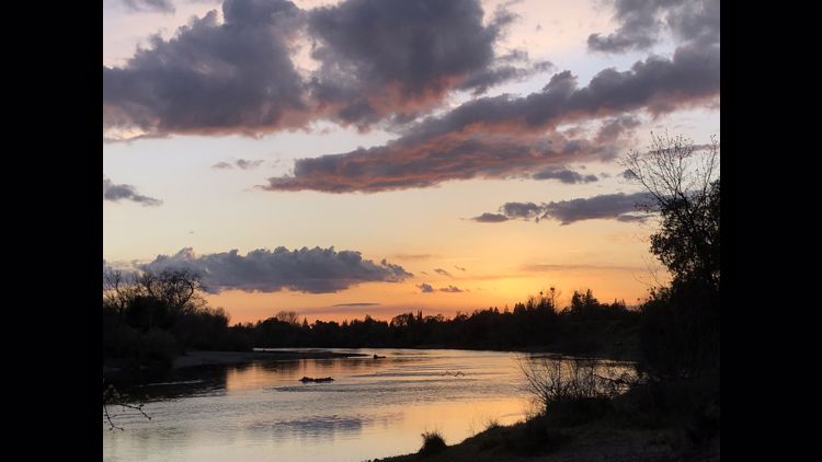
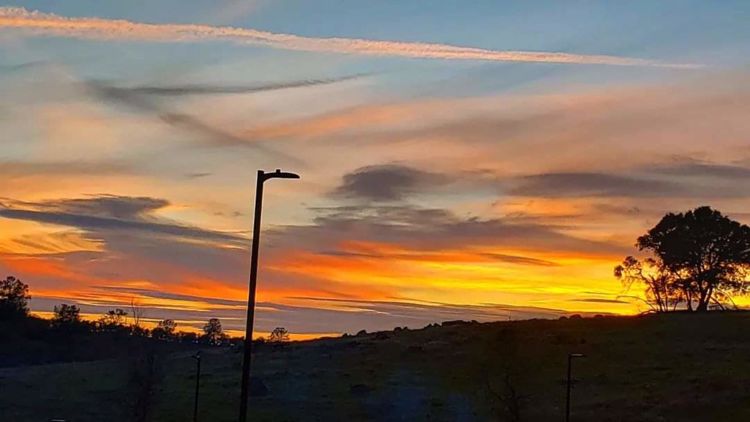
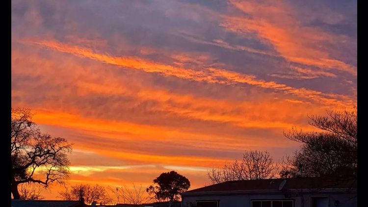
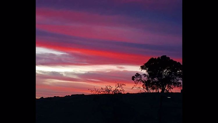
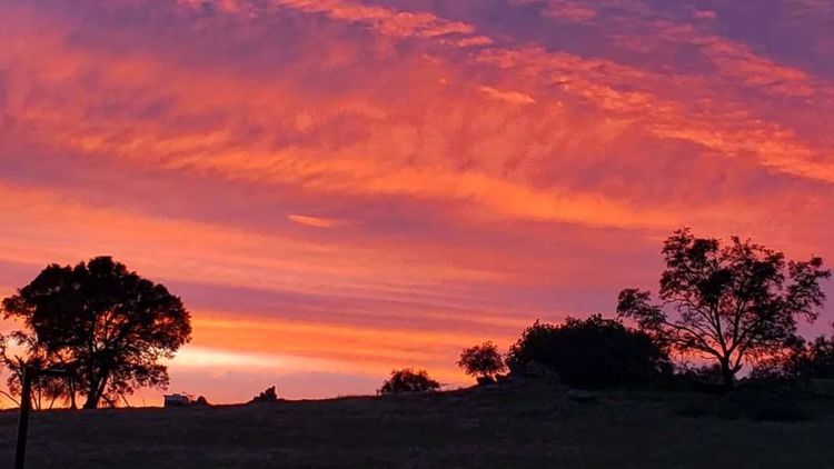
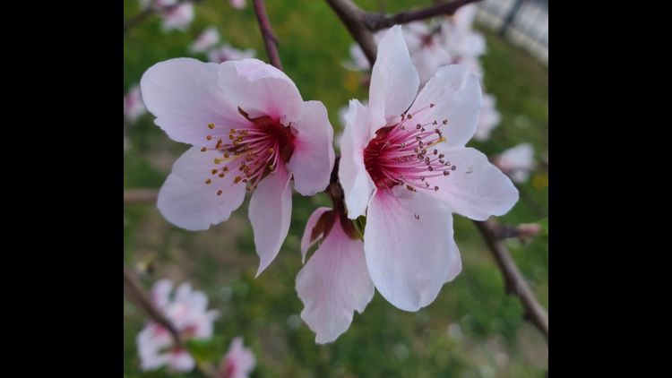
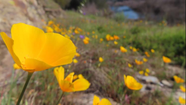
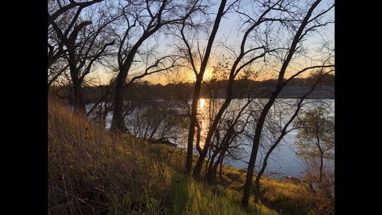
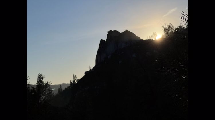
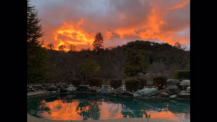
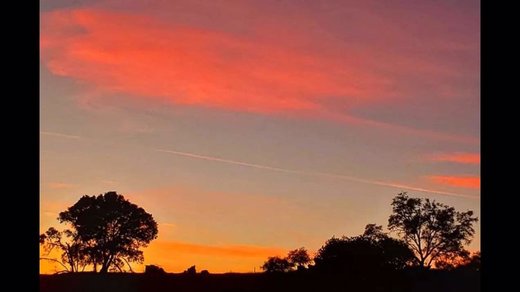
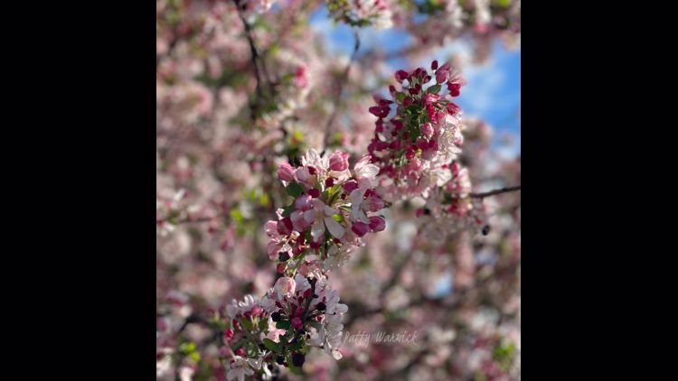
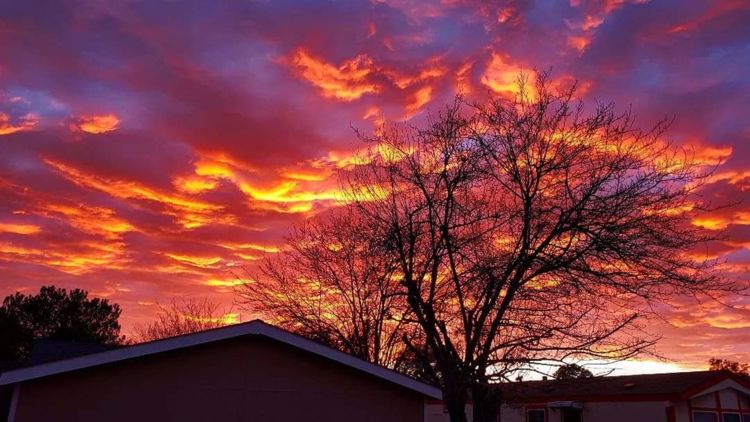
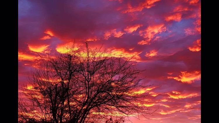
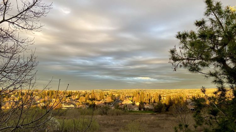
Your Weather Photos


Watch more from ABC10
U.S. Drought Monitor shows California mostly out of 'extreme drought'