10:30 p.m. update:
A mandatory evacuation order has been issued for Stumpy Meadows, Quintette, and Volcanoville due to "changes in behavior" in the Fork Fire, the El Dorado County Sheriff's Office said.
Sheriff's officials are asking people in those areas to leave towards Georgetown.
A temporary evacuation point is set up at the Cool Community Church, located at 863 Cave Valley Road in Cool, Calif. Cool, Calif.
Deputies will remain behind to provide security for the evacuation zone.
9 p.m. update:
The Fork Fire burning in the Eldorado National Forest has advanced toward the Crystal Basin and Gerle Creek area, forest officials.
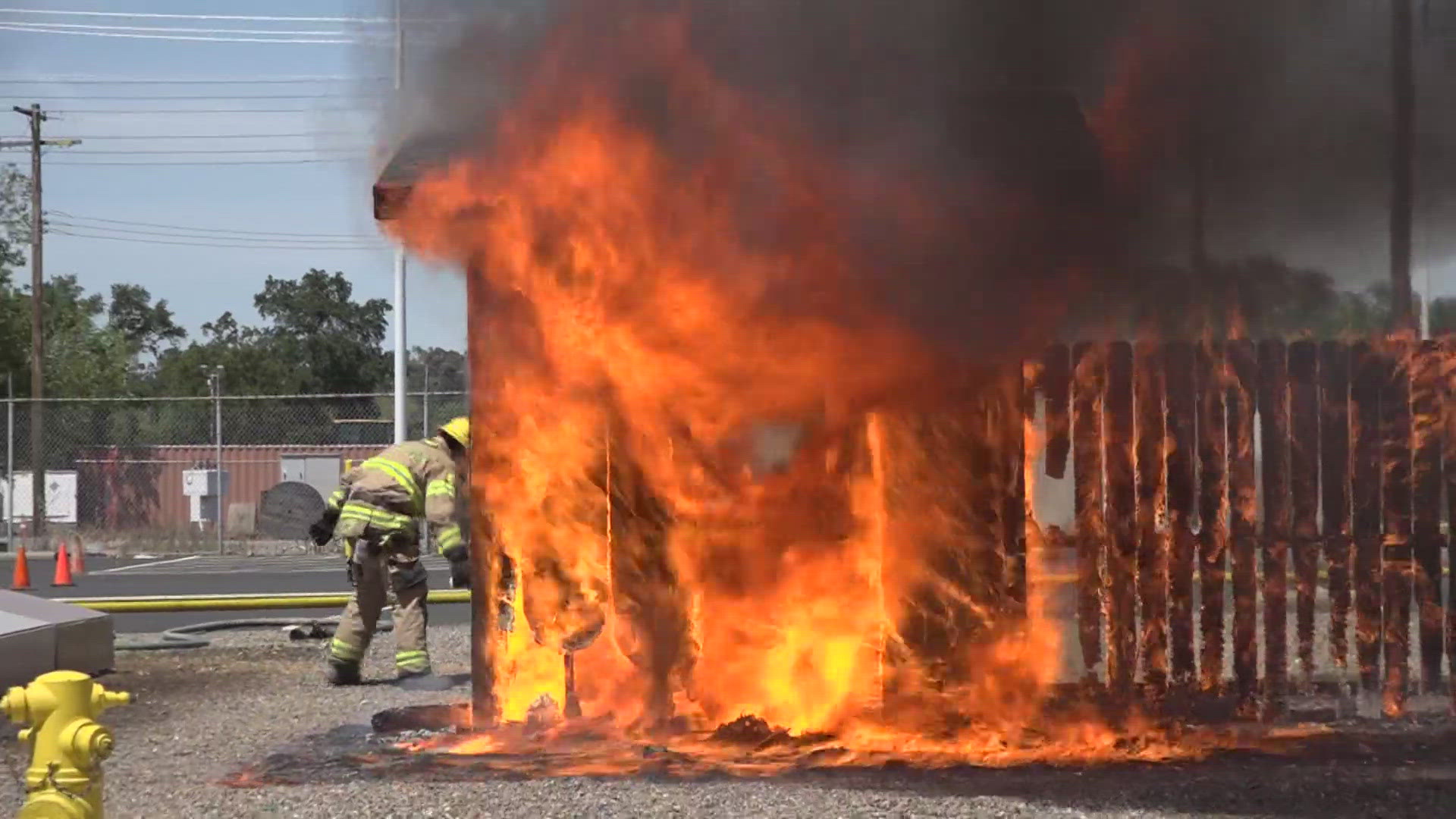
Officials said the Fork Fire has grown to 500 acres with 0% containment.
A red flag warning remains in effect until Thursday at noon due to gusty winds, low humidity, and dry fuels.
Original story:
Evacuations are in place after a wildfire sparked in Eldorado National Forest, according to the US Forest Service.
Officials with Eldorado National Forest said the 400-acre fire had "significant growth potential" and put evacuations in place for Loon Lake, Gerle Creek and Rubicon trail areas.
The Placer County Sheriff's Office said they were also evacuating the areas surrounding Hell Hole and French Meadows as a precautionary measure. In an update, the sheriffs office said the Oxbox reservation and campground areas were evacuated as well.
The fire is located off Wentworth Springs Road and the Gerle Creek access. Forest service officials said the fire is moving toward the 2014 King Fire burn scar in the Rubicon drainage on the Georgetown Ranger District.
Foresthill Fire Protection District in Placer County said they've been monitoring the new fire since it started around 11 a.m. They said the fire is 13 miles from Foresthill and has high wind gusts impacting the fire.
The forest service said ground resources and aircrafts are either heading or responding to combat the Fork Fire. The sheriffs office said all Tahoe National Forest campgrounds were shutdown to the fire.
Maps
Road Advisory
The US Forest Service - Lake Tahoe Basin Management is advising people to avoid Barker Pass and McKinney-Rubicon area roads and trails on the Tahoe Basin Side due to the Fork Fire burning in Eldorado National Forest in El Dorado County.
In an update, the Placer County Sheriffs Office said the Rubicon Trail was shutdown to traffic. Mosquito Ridge Road is also closed at Gorman Ranch Road.
WILDFIRE PREPS
According to Cal Fire, in 2019, California wildfires burned just under 260,000 acres from 7,860 incidents. Over 700 structures were damaged or destroyed and three people were killed. This follower two years of some of the “deadliest and most destructive wildfires” in California history.
If you live in a wildfire-prone zone, Cal Fire suggests creating a defensible space around your home. Defensible space is an area around a building in which vegetation and other debris are completely cleared. At least 100 feet is recommended.
The Department of Homeland Security suggests assembling an emergency kit that has important documents, N95 respirator masks, supplies to grab with you if you’re forced to leave at a moment’s notice. The agency also suggests signing up for local warning system notifications and know your community’s evacuation plans to best prepare yourself and your family in cases of wildfires.
WATCH ALSO: