
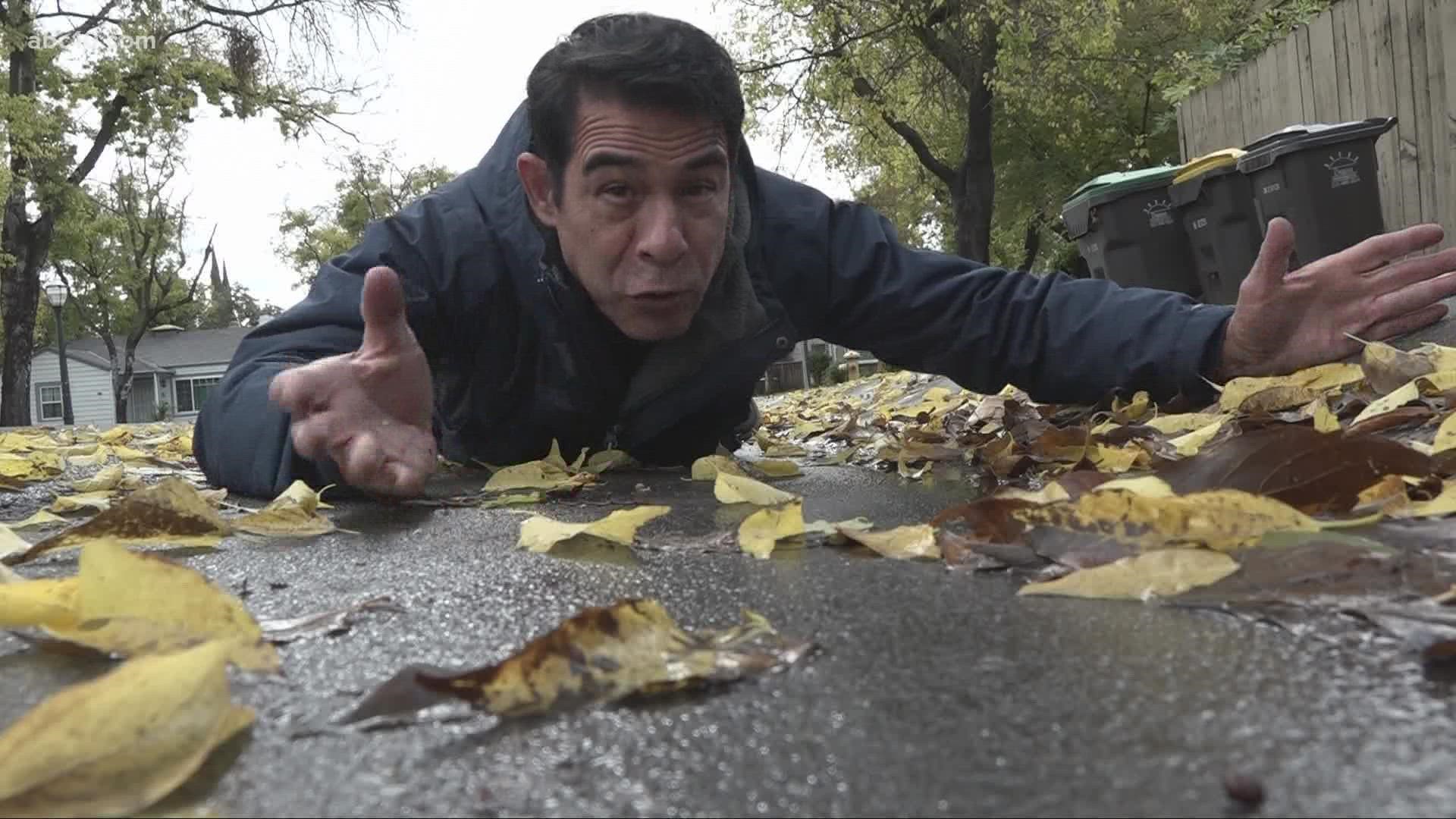
SACRAMENTO, Calif. — Northern California residents are cleaning up Friday and preparing for a massive storm this weekend that could bring flash flooding to vast areas scorched by fire.
Residents had been relieved when rain started falling this week for the first time in any measurable way since spring, helping contain stubborn wildfires and soaking dry gardens.
Friday kicked off with heavy rainfall. This storm could bring up to an inch of Valley rain and several inches for the coastal range and Sierra. This storm is warmer than normal and will bring mostly rain to the Sierra passes with snow forecast above 8,000 feet, at least.
Friday night and early Saturday, the storm will mostly clear, giving the best opportunity for drier conditions on the weekend. Highs should be in the 60s.
A Wind Advisory is in effect for Placer, Sacramento, San Joaquin, Solano, Stanislaus and Yolo counties. A Flash Flood Watch has been issued for 5 a.m. Sunday, Oct. 24, through 5 a.m. Monday, Oct. 25.
STORM RESOURCES:
► FORECAST DETAILS | Check out our hourly forecast and radar pages.
► GET WEATHER ALERTS TO YOUR PHONE | Download the ABC10 mobile app
► WEATHER IN YOUR EMAIL | Sign up for the Daily Blend Newsletter
Saturday night and through the day on Sunday, a much bigger and stronger storm will impact the area well into Monday. This storm will potentially have 3 - 4 inches of rain in the Valley and 3 - 8 inches of higher elevation rain.
This is a good, soaking rain that will have many benefits like ending the near-term fire season and allowing lakes and reservoirs to reverse course and start to rise. This will also have some negative impacts like traffic issues and potential spin-outs, crashes, and hydroplaning. For recent burn areas like the Dixie and Caldor Fires areas, the risk of rockslides and debris flow can be high during moments of heavy rainfall with some road closures are possible.
This week’s storms won’t end drought that’s plaguing California and the western United States.
These heavy rains could also spark urban flooding in the Sacramento Valley. There is a Flood Watch in effect Saturday evening - Monday afternoon as moderate to heavy rainfall could occur for a long duration of time.
Snow will come with this storm pattern, but most likely late Sunday. Snow levels are initially very high, well above 8,000 feet for Thursday to Saturday, but will drop during the day Sunday and overnight into Monday to the 7,000 feet level or lower.
Check on road conditions ahead of travel, and during, if you can do it safely. By the end of this cycle, all locations for Northern California should be well above average for typical October rain and snow.
RELATED: Sacramento Weather Forecast
ABC10: Watch, Download, Read


Watch more from ABC10
Pineapple Express and Atmospheric River Explained | Inside California's Winter Weather