SACRAMENTO, Calif —
Following record-breaking temperatures this past weekend and five straight 100-degree days, Californians will get brief relief from the triple digits before more heat moves in later in the week.
Sunday saw daily records fall as the region baked under strong high pressure. Both downtown Sacramento and Sacramento Executive Airport broke previous daily record high temperatures, hitting 109 and 107 respectively. Stockton also hit 109, topping the previous daily record of 108 set in 2005. Reno tied their record high temperature of 108 degrees, which has now been reached four times. Even South Lake Tahoe broke into the 90s, hitting 93, which set a record.
Elevated humidity, cloud cover, and a lack of a Delta breeze kept overnight temperatures very warm Sunday night into Monday morning. Downtown Sacramento only dropped down to 75 degrees overnight, and Sacramento Executive hit 73 Monday morning.


“A preliminary record minimum temperature of 73 was set at Sacramento Executive Airport, which is the official climate site. This would break the old record of 70 degrees set in 1988 & 1984. However, it won't be a record for the day if temperatures get below 73 degrees before midnight,” said NWS Sacramento regarding the status of whether it was a record maximum low daily temperature.
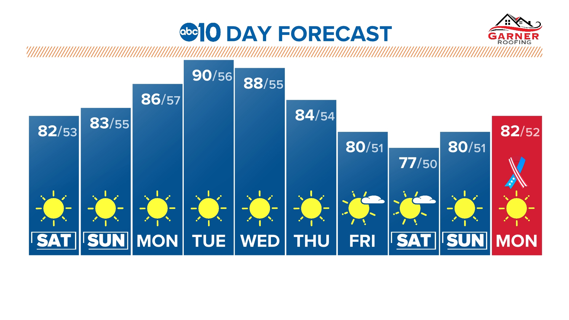
The high pressure that helped topple record temperatures has moved back to the east and dangerously hot conditions persist in the desert southwest. A short-lived break in high pressure will kick off a minor cooling trend, sending temperatures in Sacramento back to near average for mid-to-late July at around 95 degrees.
A trough pushing into the Pacific Northwest helped push the ridge of high pressure back east, but as soon as the low pressure moves off northeast, high pressure will build back into California.
The result will be another round of exceedingly hot temperatures across California. As of now, it appears temperatures won’t be as hot as they were last weekend. Still, temperatures in the Central Valley are likely to be well above 100 by the end of the work week and into the weekend.
Thursday will mark the return of 100-plus degree temperatures to most Valley locations. Friday and Saturday will be the hottest days of the week before some mild cooling on Sunday with high temperatures closer to 100.
Regardless, California is likely to continue to bake under high pressure for the rest of the month. The overall weather pattern for the rest of the month favors keeping the heat in the west and milder, wetter conditions in the upper Midwest, Great Lakes, and Northeast as low pressure systems stick around in those areas.
WATCH ALSO: