
BIG SUR, Calif. — Hundreds of residents have been evacuated as crews battle a wildfire in rugged mountains along the California coast that forced the closure of the main roadway near Big Sur.
One structure was damaged by the blaze that broke out Friday in a canyon and quickly spread toward the sea, fanned by strong winds.
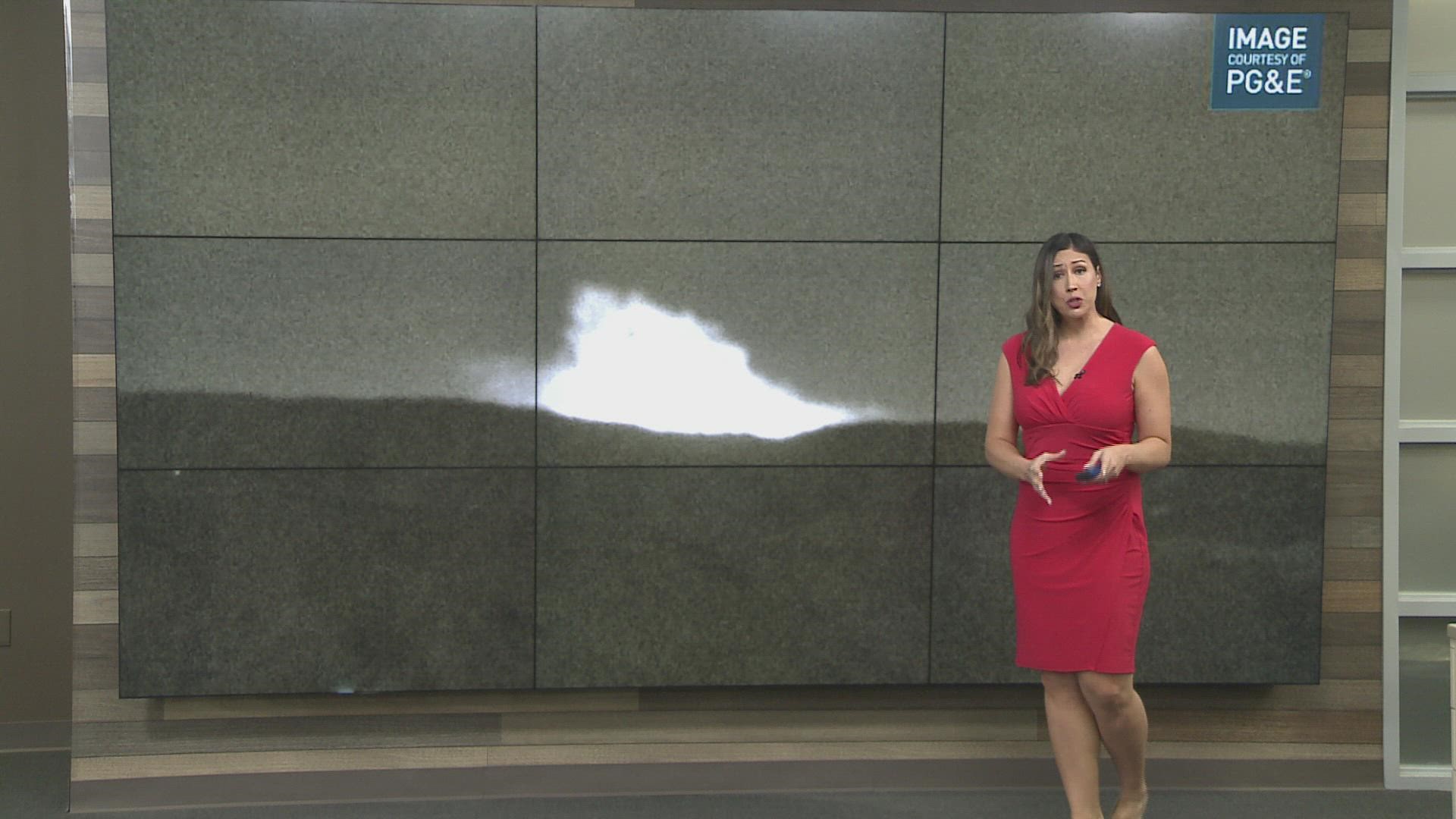
The so-called Colorado Fire is 35% contained Sunday after burning at least 700 acres. Cal Fire adjusted the acreage figure due to better mapping.
Evacuation orders were in place for about 500 residents of a sparsely populated area between Carmel and Big Sur.
Authorities closed a stretch of Highway 1 with no estimated time for reopening.
The Monterey County Health Department also issued a boil water notice for residents in the Colorado Fire area because of potential damage to water system infrastructure.
► GET THE LATEST NEWS: Get news updates in your email with the Daily Blend newsletter. Sign up at www.abc10.com/email
Road Closures
For current state highway/route information visit roads.dot.ca.gov.
- Highway 1 is closed in both directions from Andrew Molera State Park in Big Sur to the Granite Canyon Bridge in Carmel.
Accounts to follow
Evacuation Map
A map of evacuations for the Colorado Fire is available below.
Wildfire Map
A wildfire map tracking the acreage burned of the Colorado Fire is available below.
More Resources
Residents in Monterey County can text "MCWILDFIRE" to 888777 for fire information from the Monterey County Office of Emergency Services.
The American Red Cross has set up a shelter at Carmel Middle School (4380 Carmel Valley Road, Carmel by the Sea, CA). The shelter will be closing on Monday, Jan. 24 at 7 a.m., according to Monterey County.
The Monterey County Convention and Visitors Bureau has created a Google Sheet with special and discounted hotel rates for those displaced by the fire.
Wildfire Prep
For anyone living in a wildfire-prone zone, Cal Fire suggests creating a defensible space around your home. Defensible space is an area around a building in which vegetation and other debris are completely cleared. At least 100 feet is recommended.
The Department of Homeland Security suggests assembling an emergency kit that has important documents, N95 respirator masks, supplies to grab with you if you’re forced to leave at a moment’s notice. The agency also suggests signing up for local warning system notifications and know your community’s evacuation plans best to prepare yourself and your family in cases of wildfires.
Some counties use Nixle alerts to update residents on severe weather, wildfires, and other news. To sign up, visit www.nixle.com or text your zip code to 888777 to start receiving alerts.
PG&E customers can also subscribe to alerts via text, email, or phone call. If you're a PG&E customer, visit the Profile & Alerts section of your account to register.
Watch More from ABC10: California's growing wildfire crisis | Scorched Earth


