
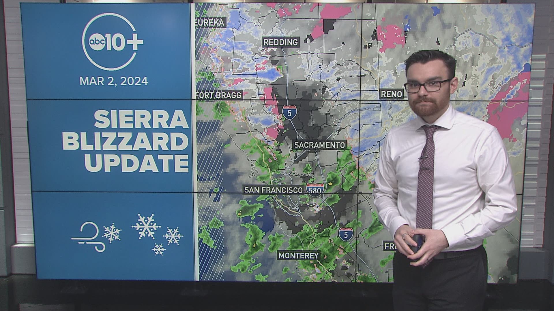
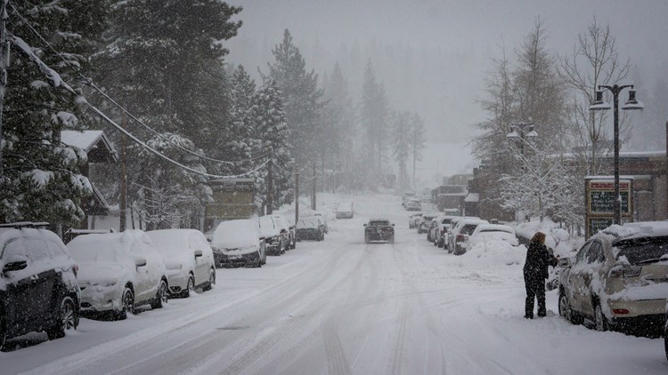
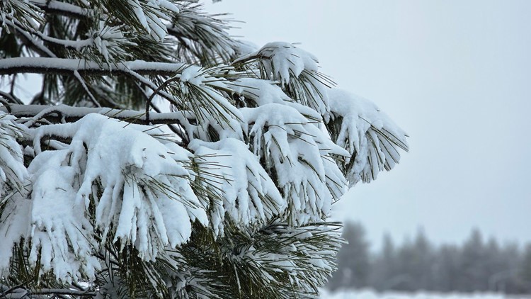
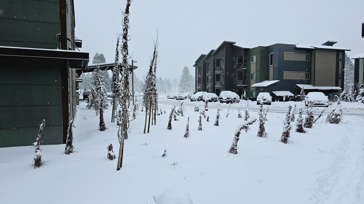
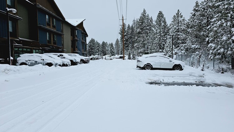
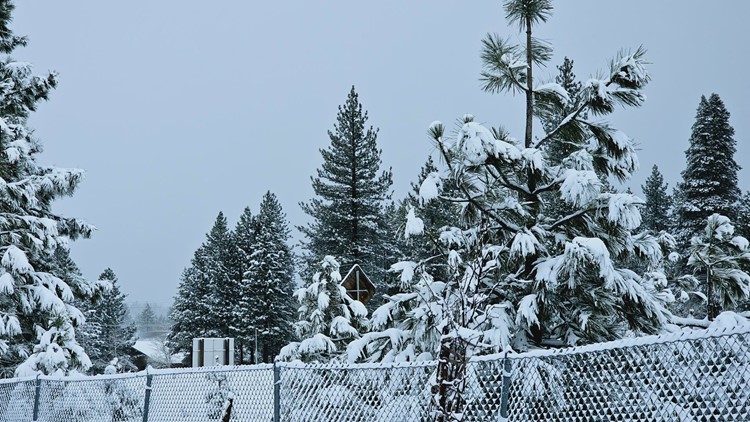
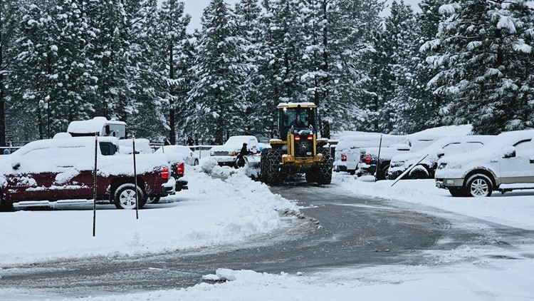
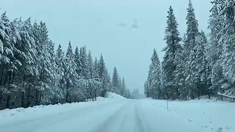
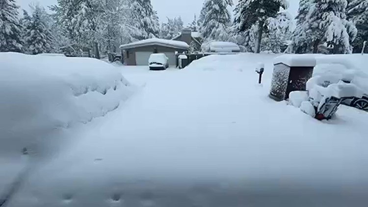
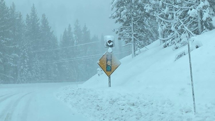
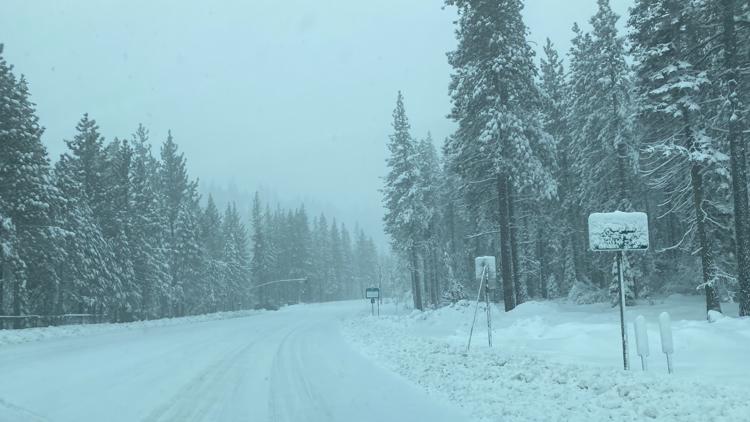
CALIFORNIA, USA — A major winter storm with blizzard conditions pushed into the northern parts of California Friday with worsening conditions expected Saturday.
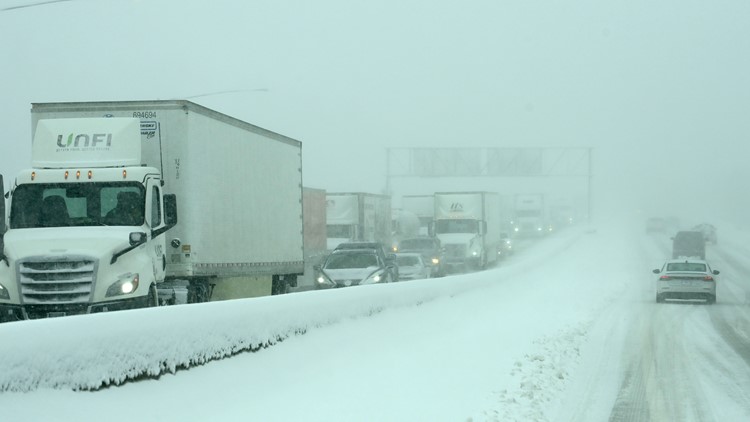
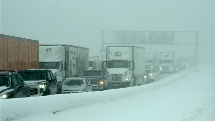
The weather forecast calls for extreme impacts in the Sierra Nevada with heavy snow and gusty winds shutting down Interstate 80 for most of Friday amid a Blizzard Warning issued by the National Weather Service.
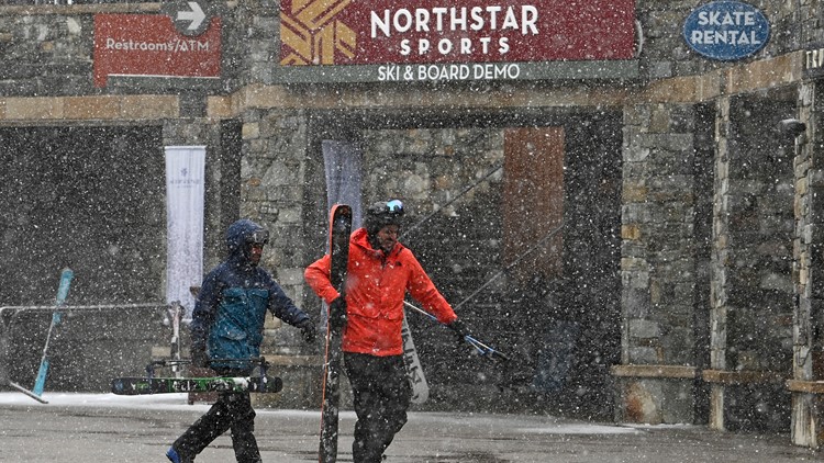
The NWS estimates there could be up to 10 feet of snow in areas above 5,000 feet and four feet of snow in elevations between 3,000 and 5,000 feet. Rain is expected to continue in the Valley and Foothill regions throughout the weekend.
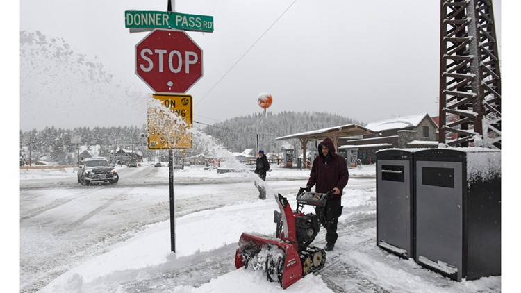
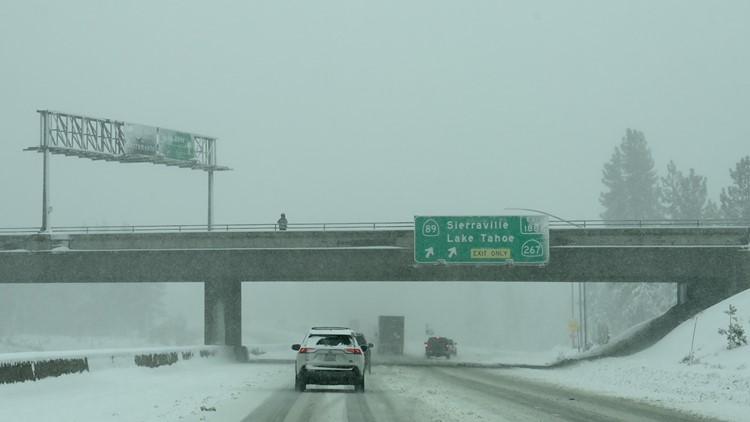
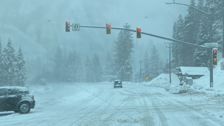
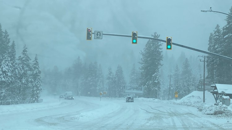
CalTrans warned truckers not to use highways 49 and 20 as alternative routes through the Sierra. Plus, SR-89 is also closed from Emerald Bay to Bliss State Park.
Be prepared for travel delays, chain controls, and possible road closings over the weekend.
Traffic
Here are the latest road conditions and an interactive Caltrans map.
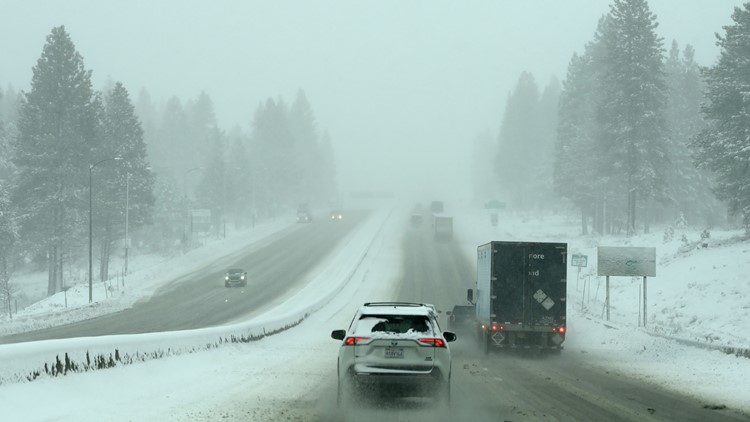
Interstate 80: closed from Colfax in Placer County to the Nevada state line. (7:00 p.m. update)
Highway 50: Chains needed between Placerville and Meyers (11:30 a.m. update)
Interstate 5: Chain screening north of Redding (6:30 a.m. update)
Sacramento region traffic map:
STORM RESOURCES:
► FORECAST DETAILS | Check out our hourly forecast and radar pages
► GET WEATHER ALERTS TO YOUR PHONE | Download the free ABC10 mobile app
► GO DEEPER | Stream in-depth weather forecasts with the free ABC10+ streaming app
► WEATHER IN YOUR EMAIL | Sign up for our daily newsletter
► MEET THE WEATHER TEAM | Chief Meteorologist Monica Woods, Carley Gomez, Brenden Mincheff, Rob Carlmark
Power Outages
Liberty Utilities: Outage Map
PG&E: Outage Map
Roseville Electric Utility: Outage Map
SMUD: Outage Map
Radar:
Radar map from ABC10.com. Adjust the layers with a filter on the bottom right corner to show rain, snow, wind and current temperatures:
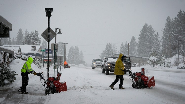
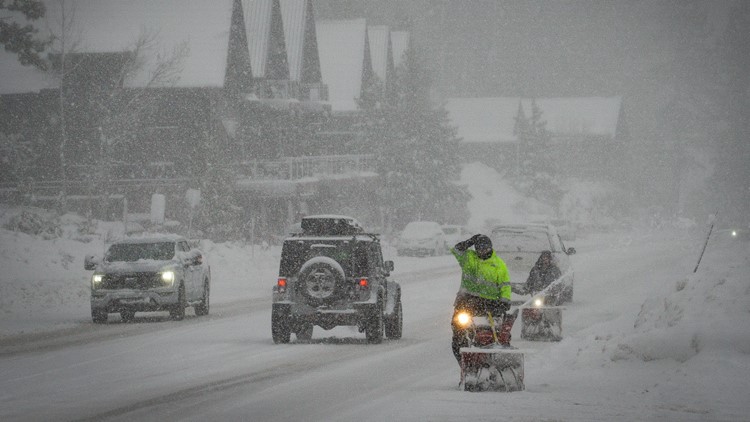
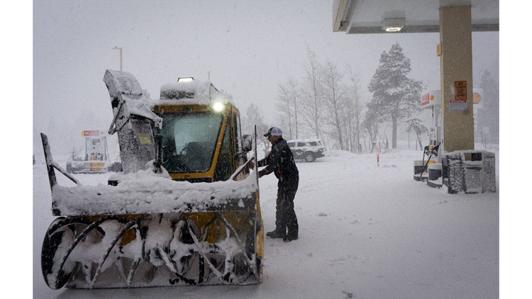
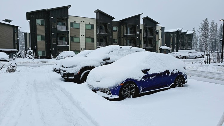
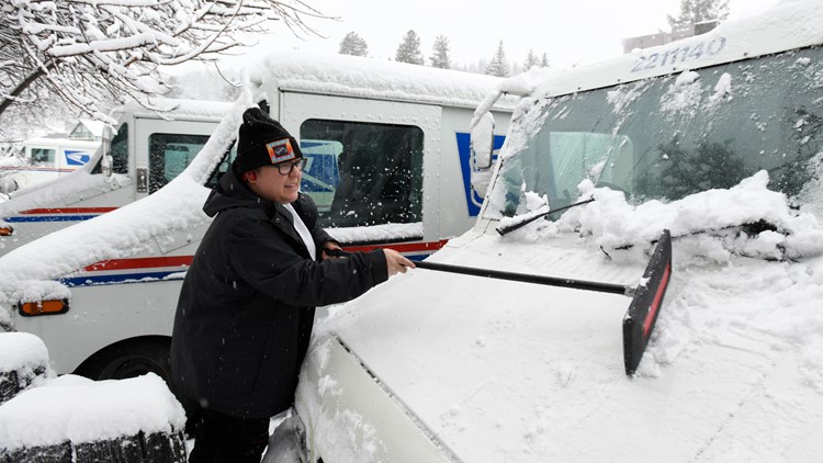
Photos: Blizzard hits Northern California | Friday, March 1


Watch more on ABC10 | Meteorologist Carley Gomez breaks down what's expected to be the biggest snowstorm of the year, with feet of snow expected.


