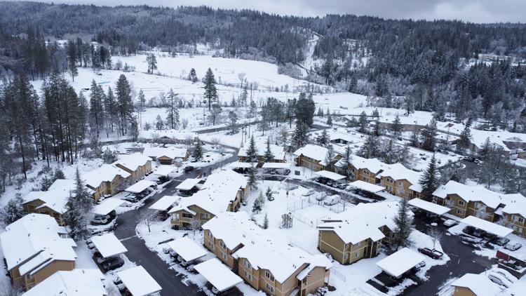
CALIFORNIA, USA — Snow, ice and unseasonable cold in the Pacific Northwest and the Sierra Nevada are continuing to disrupt traffic, cause closures and force people to find refuge in emergency warming shelters.
Part of Interstate 80 reopened Tuesday afternoon after a more than three-day closure with westbound I-80 following Tuesday night. The interstate was temporarily closed due to record setting snow in the Lake Tahoe area.
The National Weather Service is expecting showers and snowfall over Northern California Tuesday night and into the overnight hours.
ABC10 Meteorologist Carley Gomez said another round of heavy valley rain and Sierra snow in the forecast with the heaviest snow expected between midnight and 7 a.m.
RELATED:
Northern California Storm Watch
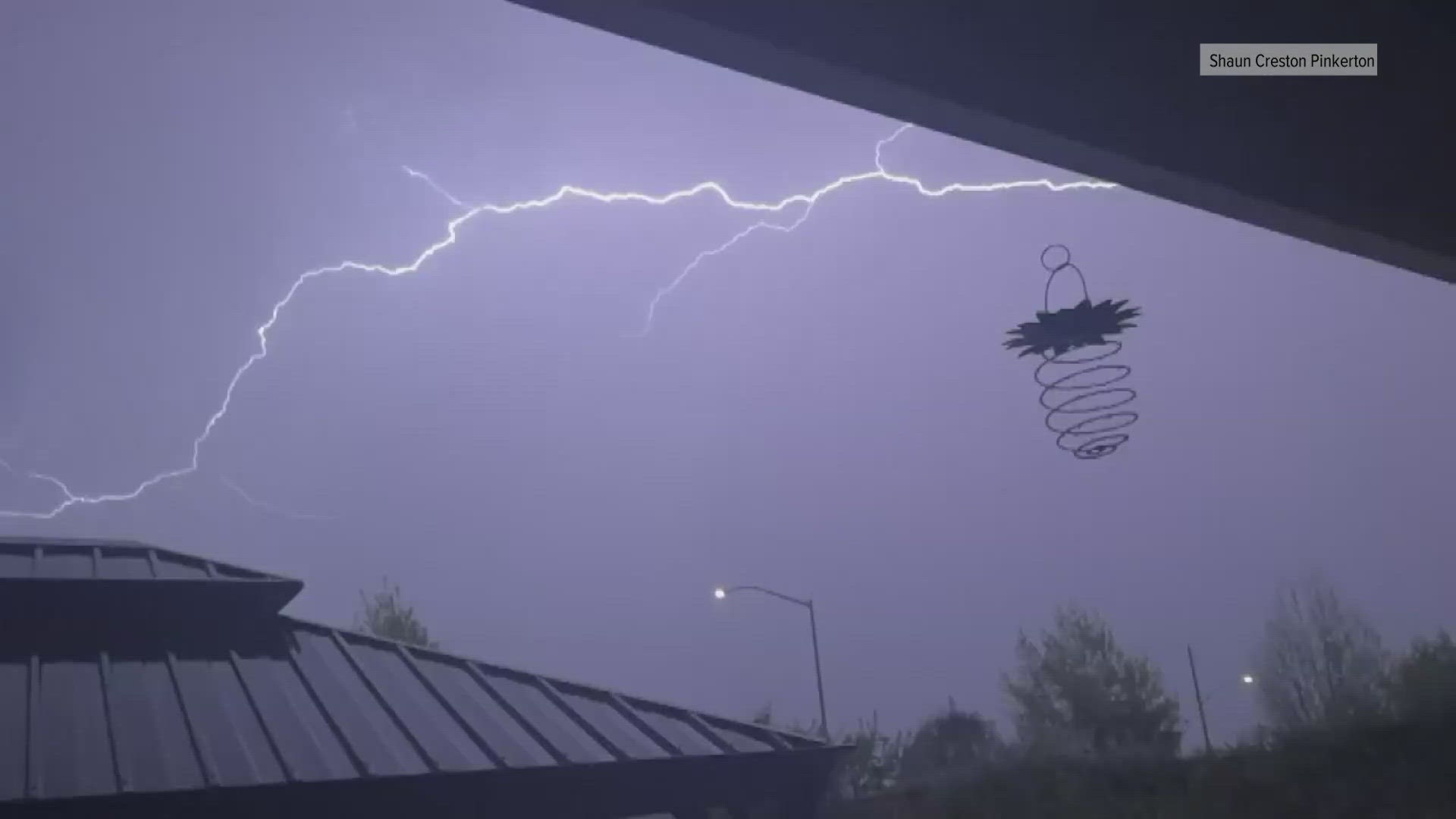
The latest in a series of winter storms greeted Northern California Tuesday night and is sticking around through Wednesday.
“We are looking at a lot of snow on the way, even low elevation snowfall. Areas of Orland up north I-5 up to the Oregon state border, we could see snowfall along I-5...,” Gomez said.
That snow could reach about 4 to 8 inches for the Foothills, 8 to 20 inches for elevations above 3,000 feet, and 7 inches for places above 1,000 feet.
People in the Foothills could be waking up to more snowfall around 3 a.m. Wednesday if they're in an elevation around 2,500 to 3,000 feet. Low snow down to 500 to 1,500 feet is also possible after 8 a.m. for valley and foothill spots in the northern Sacramento Valley.
Not to be left out from the storm conditions, the valley will see heavy rain early Wednesday morning.
“By 2 a.m. most of us will be seeing some downpours happening… just north of Yuba City, all the way in Grass Valley, portions down to Sacramento, Fairfield, Stockton (with) heavy downpours,” Gomez said.
Areas like Woodland and Davis could see more intense downpours around that same time. For the valley, most rain will be out of the area by 7 p.m. but there could be some scattered showers around Sacramento, Stockton and Modesto.
If the forecast holds, Northern California is projected to get anywhere from .1" to .5" of rain through Thursday. Some of that will be joined by 15 to 20 mph winds blowing through Modesto, Stockton and Elk Grove during 8 a.m. and the morning commute.
“The morning commute as we look into Wednesday morning may be a little more difficult for some in the San Joaquin Valley spots,” Gomez said.
For a full breakdown of the winter storm forecast, click HERE or watch the YouTube video below.
WATCH MORE: