
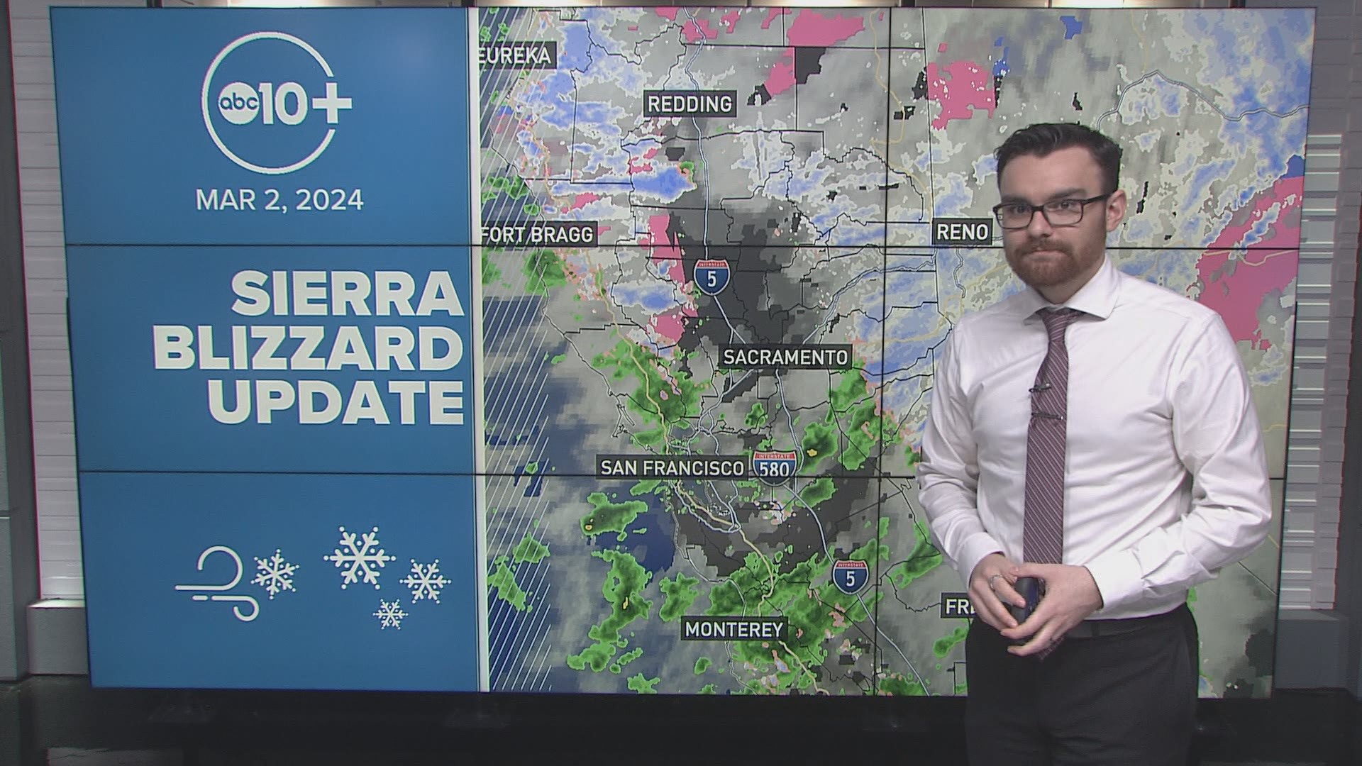
Northern California is getting pounded by a strong winter storm with blizzard conditions of heavy snow and strong winds.
The rare combination of very strong wind with the heavy snow has produced a blizzard warning for very low to zero visibility at times until 10 a.m. Sunday for most areas of the Sierra above 2,000 feet.
Snow totals so far in the Sierra
As of Saturday morning, many ski areas have reported overnight snow totals of 20-40" of snow. The liquid water equivalent is less than expected, closer to 8:1 than the 12:1 forecast so snow totals are on the lower end of the forecast but this doesn't change the danger presented by the heavy snow and strong winds.
Mt. Rose picked up 36" and Sugar Bowl got 32", making those two locations the biggest winners of the last 24 hours. Boreal and Tahoe Donner also collected more than 30" during this time. This brings storm total snowfall to 52" for Mt. Rose and Sugar Bowl, and 45" for Tahoe Donner.
Homewood, Northstar, and Sierra-at-Tahoe received over 25" in 24 hours. Homewood and Northstar now have storm totals of 47" and 44", respectively, while Sierra-at-Tahoe has 38" total.
Palisades Tahoe, Dodge Ridge, and Heavenly all got over 20" since Friday morning, bringing their storm totals to 41", 28", and 30", respectively.
Kirkwood has quietly collected a storm total of 30" so far, nabbing an additional 18" over the last 24 hours.
The Central Sierra Snow Lab has 40" total, receiving 21" since Friday morning.
The Central Sierra CA-4 corridor has so far collected a bit less snow than the I-80 corridor. For instance, Bear Valley has 27" total. As discussed above, areas north have widespread 30-50" totals.
It's important to remember that accurate snow measurements are difficult at times due to the blowing snow, but in general, a flat board with a ruler is used and cleared every 24 hours to get snow totals for each day.
As the temperatures drop many more inches of snow can stack up as colder air changes the structure of the snowflakes producing lighter drier snow and many feet are still expected along with strong winds through Sunday morning.
Because of the challenging conditions, many resorts will remain closed on Saturday while crews dig out chairs and parking lots during the storm so operations can resume as soon as it is safe to do so.
STORM RESOURCES:
► FORECAST DETAILS | Check out our hourly forecast and radar pages
► GET WEATHER ALERTS TO YOUR PHONE | Download the free ABC10 mobile app
► GO DEEPER | Stream in-depth weather forecasts with the free ABC10+ streaming app
► WEATHER IN YOUR EMAIL | Sign up for our daily newsletter
► MEET THE WEATHER TEAM | Chief Meteorologist Monica Woods, Carley Gomez, Brenden Mincheff, Rob Carlmark
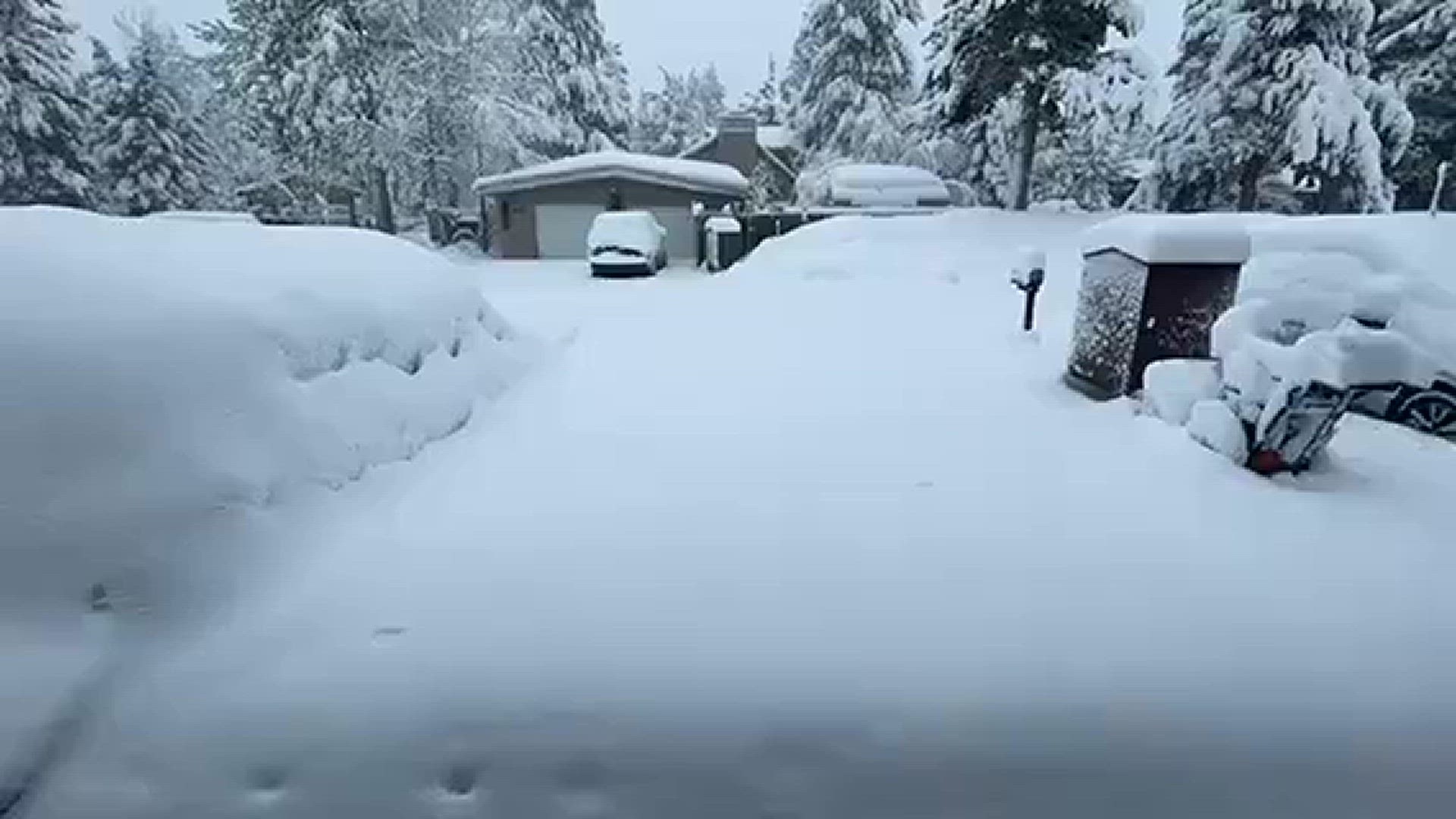
Here's a look at Meyers this morning:
Watch more on ABC10 | California Blizzard Warning: Sierra likely to get 10 feet of snow | Friday morning update


