
SOUTH LAKE TAHOE, Calif. — Bulldozers with giant blades, crews armed with shovels and a fleet of aircraft dropping hundreds of thousands of gallons of water and fire retardant helped keep the advance of a California blaze threatening South Lake Tahoe to a couple of thousand acres - a fraction of its explosive spread last month and the smallest increase in two weeks.
With more than one third of the 334-square-mile (866-square-kilometer) blaze surrounded, authorities allowed more people back into their homes on the western and northern sides of the fires Friday afternoon.
But there was no timeline for allowing the return of 22,000 South Lake Tahoe residents.
Authorities were taking the decision on whether to lift South Lake Tahoe’s evacuation day by day.
Saturday afternoon CalFire announced residents of some areas in El Dorado County on the western side of the Caldor Fire can return home but would remain under an evacuation warning. The community of Grizzly Flats is still closed.
South Lake Tahoe communities are still under an evacuation order.
► See our interactive map for the latest evacuation areas.
On Saturday, evacuation warnings were lifted for the areas of Ant Hill, Camino Heights, Newtown, neighborhoods south of Omo Ranch Road between Fairplay Road and North South Road.
RELATED: How to help Caldor Fire survivors
Key Figures
- Acres: 215,400
- Homes destroyed: 712
- Containment: 43%
Evacuations and Road Closures
Click HERE for in-depth evacuation orders and warnings in El Dorado County. For evacuation orders and warnings in Amador County, click HERE for the Amador County Sheriff's Facebook page and HERE for their website. For current state highway/route information visit roads.dot.ca.gov.
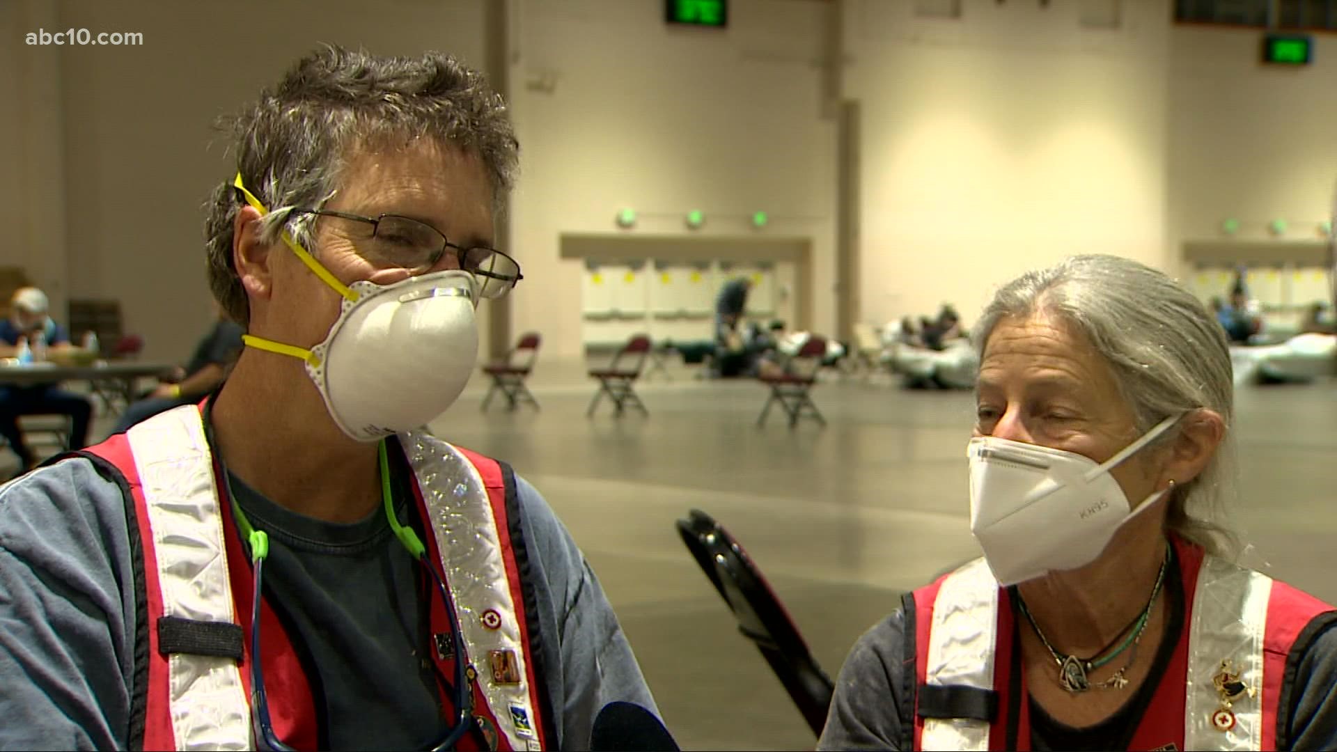
Evacuation centers
El Dorado County Shelters
- Green Valley Community Church, Placerville
- Cameron Park CSD, Cameron Park
- Rolling Hills Church, El Dorado Hills
Nevada County Shelter
- Truckee Veterans Hall, 10214 High St, Truckee
Amador County
- Temporary Evacuation Point Italian Picnic Grounds, Sutter Creek
Nevada state shelters
- Reno/Sparks Convention Center at 4590 S. Virginia Street, Reno
- Douglas County Community Center, Gardnerville - Douglas County residents only
- Reno Sparks Convention Center
- RV Dry Camping and Large Animals, Dayton Event Center/Rodeo Grounds
- Lyon County Fair Grounds, Yerington
Animal Evacuation Centers:
- El Dorado County Animal Services (small animals), Diamond Springs. For animal evacuation questions or assistance call (530) 621-5795
- Saureel Vineyards (large animals), Placerville - FULL
- Amador County Fairgrounds (large animal)- for Amador County residents only, Plymouth
- Reno Sparks Convention Center Reno - Limited crates and space available for pets.
- Lyon County Fair Grounds, Yerington
- Dayton Event Center/Rodeo Grounds – Dry Camping Only, Dayton
- Douglas County Fairgrounds, Gardnerville
Accounts to follow
Evacuation Maps
A map of evacuations from the El Dorado County Sheriff's Office is available below.
An evacuation map from the Amador County Sheriff's Office can be viewed HERE.
A map of evacuations in Alpine County is available HERE.
Online Structure Damage Map
An online structure damage map is available by clicking HERE or viewing below. To locate your home, type in the address in the top left corner. If you don't see an icon, the structure has not yet been identified.
Wildfire map
Click here for a map of the Caldor Fire.
►Stay in the know! Sign up now for the Daily Blend Newsletter
Wildfire Preps
If you live in a wildfire-prone zone, Cal Fire suggests creating a defensible space around your home. Defensible space is an area around a building in which vegetation and other debris are completely cleared. At least 100 feet is recommended.
The Department of Homeland Security suggests assembling an emergency kit that has important documents, N95 respirator masks, supplies to grab with you if you’re forced to leave at a moment’s notice. The agency also suggests signing up for local warning system notifications and know your community’s evacuation plans best to prepare yourself and your family in cases of wildfires.
Some counties use Nixle alerts to update residents on severe weather, wildfires, and other news. To sign up, visit www.nixle.com or text your zip code to 888777 to start receiving alerts.
PG&E customers can also subscribe to alerts via text, email, or phone call. If you're a PG&E customer, visit the Profile & Alerts section of your account to register.
ABC10: Watch, Download, Read


Watch more from ABC10: Caldor Fire: How firefighters are keeping the fire away from South Lake Tahoe.